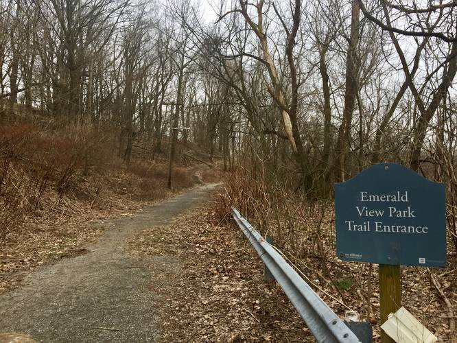
The Emerald View Trail at Emerald View Park in Pittsburgh, Pennsylvania is an easy 3 mile one-way trail that cuts along the southern side of Mount Washington. It's a nice trail that's rarely used and also great for walking dogs off-leash.
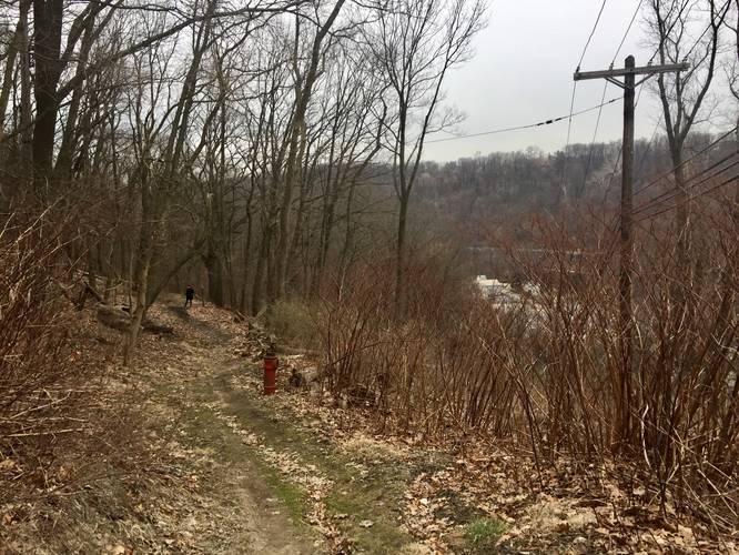
The trail wraps all the way around to the South Side, but has a lot of "on road" portions. You can start the hike from many locations, but this GPS data starts at Mount Washington Park and heads west. The trail starts just to the left of the basketball courts - behind the swing set at Mount Washington Park. It continues on until you reach a section where the trail turns to pavement on Grace St.
Follow Grace St until you hit Virginia Ave - take a left on Virginia Ave and walk until you reach Hallock St. At Hallock you'll enter the Emerald View Trail at Olympia Park - stay right at the fork in the trail to stay on the Emerald View Trail.
Shortly after hiking uphill in the western section of Olympia Park, you'll exit the woods and enter a paved road section again. Continue walking on Sweetbriar St until you reach Lupton St - take a left on Lupton and follow it until you get close to the end of the road where the trail picks back up on the right-hand side.
After leaving Lupton St continue hiking and cross Shaler St where the trail continues on the other side. From here, this is the last stretch of woods for the Emerald View Trail. Continue hiking until you reach the end at Greenleaf St.
Parking: Parking can be found at a lot of different locations along this trail. The 2 main parking lots can be found at the parking marker provided along Norton St, Olympia Park, or at Mount Washington Park. You can also park anywhere non-permit parking is available along the "on road" portions of the trail.