Loading...

🎉 Enjoy a Free 7-Day Supporter Trial and Unlock Exclusive Perks — No Credit Card Required. Learn more.

Turkey Run Trail

Directions
Map
Pictures
Send to App
Distance:
0.4 Miles / 0.6 km
Type:
One-Way
Difficulty:
Easy
Time to Hike:
~12 minutes
Features:
Surface Type:
Dirt
Park:
Emerald View Park
Town:
Pittsburgh, Pennsylvania
Directions:
40.430282, -80.019305
Added:
March 20, 2018
Updated:
June 12, 2018
Copy Trail Link Hiking this trail? Send a friend or family member a link to this trail guide for your own safety. Hike at your own risk (disclaimer)
Loading...
Loading...
98'

Total Change
77'

Ascent
99'

Descent

Download the Trail Route for Offline Use

Supporters get exclusive access to download trail routes to the MyHikes app for offline use. Stay prepared on your adventure, even without an internet connection! Become a Supporter today to unlock this feature and hike with confidence.

Send to App

Turkey Run Trail

The Turkey Run Trail at Emerald View Park in Pittsburgh, Pennsylvania is an easy 0.4 mile one-way trail that starts on the Emerald View Trail and connects back to it. Parking can be found at the large lot next to Olympia Park at the end of Hallock St. Follow the Emerald View Trail until you see the sign for the Turkey Run Trail - take a left-hand turn and continue following this trail until you reach the Emerald View Trail again.

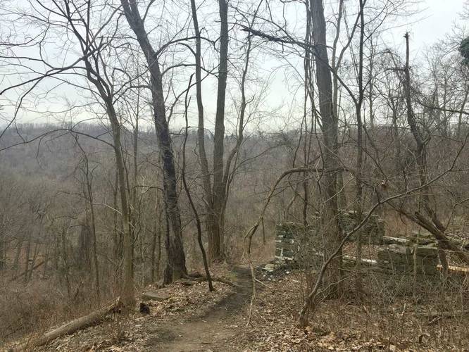
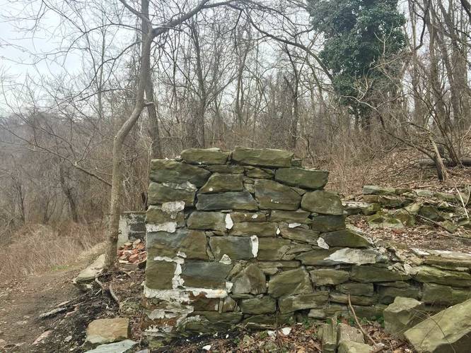
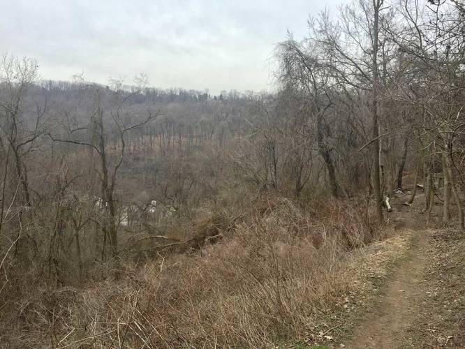
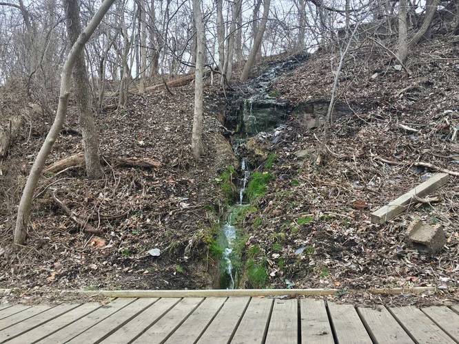
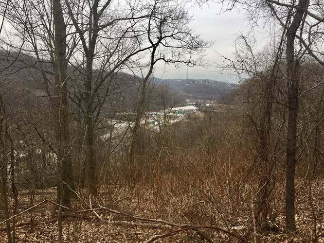
Sights and waterfalls: For 'views' there are some hillsides across the way that you can see, but nothing special. For interesting sights, there are some old building foundations and a seasonal small waterfall that cascades down the hillside during the wetter months.

Dogs and biking are both allowed on this trail.
Explore 219 trails near Pittsburgh, PA
  1. Parking

    40.430282, -80.019305
  2. Main Trailhead

    40.428883, -80.020085
  3. Obstructed view with abandoned building foundation

    40.4287, -80.020608
    Obstructed view with abandoned building foundation
  4. Point-of-Interest

    40.428611, -80.020692
    Point-of-Interest
  5. Small view of neighboring hills

    40.428547, -80.020775
    Small view of neighboring hills
  6. Small waterfall along the trail

    40.428275, -80.021256
    Small waterfall along the trail
  7. View facing west of I-376 and PA-19

    40.429383, -80.022164
    View facing west of I-376 and PA-19
No community routes found. To add your own hike as a Community Route for this Trail guide, leave a Trip Report with an attached GPX file.

Hazards

Ticks - Lyme Disease More Info (CDC)

Seasons

All

Photo Albums

Trip Reports

Trail Guide By:
Admin user profile picture
0.4 miles / 0.6 km
0.4 miles / 0.6 km
March 17, 2018
Hiking

Weather Forecast

In Pittsburgh, PA

Explore Hiking Trails

You May Also Like

Colorado's Million Dollar Highway - Plan a day's drive adventure along the iconic Million Dollar Highway in Colorado. Explore the best short trails, roadside stops, waterfalls, vistas, ghost towns, and hot springs within a ~6 hour road trip.
Explore

Colorado's Million Dollar Highway

Plan a day's drive adventure along the iconic Million Dollar Highway in Colorado. Explore the best short trails, roadside stops, waterfalls, vistas, ghost towns, and hot springs within a ~6 hour road trip.

Read
New York's Best Waterfalls - Whether you're planning a day hike, roadside stop, or a leisurely short walk, this guide provides hikers, travelers, and locals alike with 63 different locations to over 100 scenic waterfalls to help plan your next adventure!
Explore

New York's Best Waterfalls

Whether you're planning a day hike, roadside stop, or a leisurely short walk, this guide provides hikers, travelers, and locals alike with 63 different locations to over 100 scenic waterfalls to help plan your next adventure!

Read

Before you boogie...

Find our trail guides useful? Consider becoming a Supporter to unlock perks!

MyHikes is an indie platform that makes exploring public trails easier for everyone. The platform has no investors, no ads, and is owned and operated by one person, Dave Miller. Dave has personally mapped and written over 1,800 trail guides on MyHikes for the public to explore. MyHikes has helped millions outdoor enthusiasts plan their next adventure.

But it takes a lot of time 🕦, money 💰, work, and espresso shots ☕ to run MyHikes, including hiking , mapping , writing , and publishing new trails with high-quality (accurate) information... along with software engineering (coding) the platform like building new features, website and mobile app development (iOS and Android), site maintainance . and much much more.

Supporters unlock website and mobile app perks with an annual one-time payment of $25 (you renew) 😎👍. Or you can simply make a Donation of your choice. Otherwise, you can support us by telling your friends about MyHikes - both quick and free 🎉

Admin user profile picture

Dave Miller
MyHikes Founder