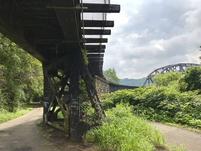
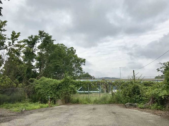
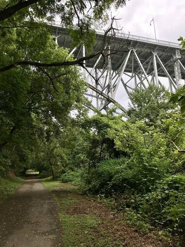
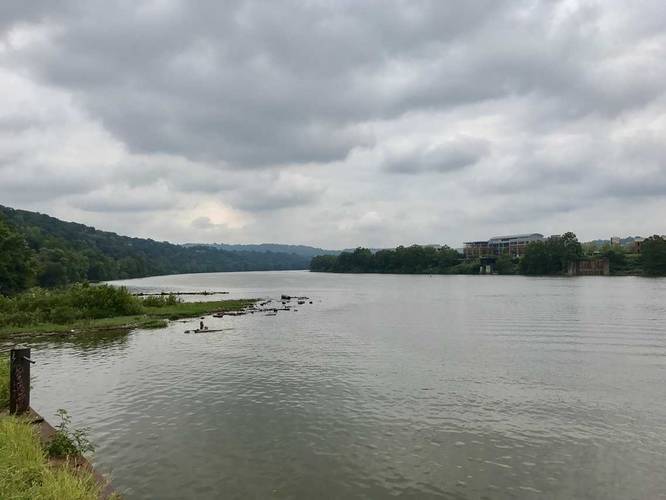
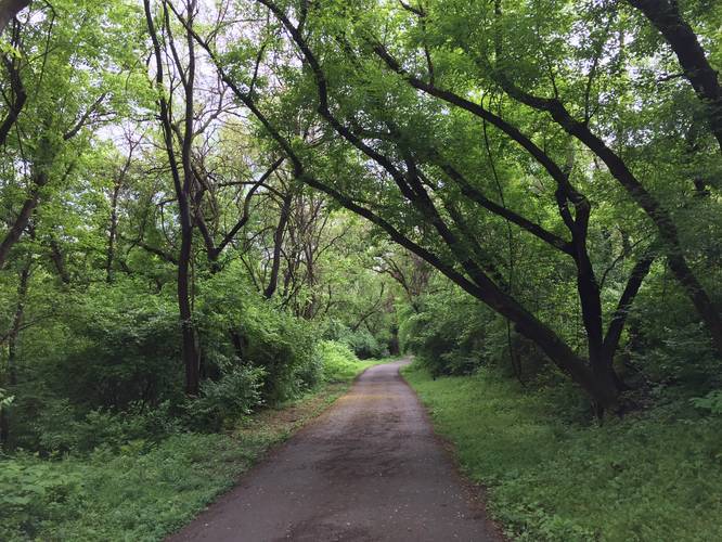
Duck Hollow Trail
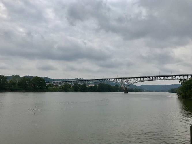
The trail starts at the Duck Hollow parking lot and heads west along the river until ending just before the Glenwood Bridge, as of 2019.
Pets
Dogs are allowed if leashed and their waste should be carried out by the hiker.
Biking
Biking is allowed along this trail.
Know Before You Go
Interactive topographic map for Duck Hollow Trail located in Pittsburgh, PA. Click the "View Map" button to load GPS coordinates and trail markers.
View map
Get directions
- Distance
- 2.8 mi
- Difficulty
- Easy
- Type
- Out-and-Back
- Est. Time
- 1.4 hrs
- Elev. Gain
- 113'
- Rating
- 0.0
- Added
- August 12, 2017
- Updated
- September 24, 2021
Weather Forecast
This Afternoon
High
83°F
Cloudy
Tonight
Low
64°F
Mostly Cloudy then Chance Rain Showers
Saturday
High
83°F
Chance Rain Showers
Saturday Night
Low
63°F
Slight Chance Showers And Thunderstorms then Areas Of Fog
Sunday
High
85°F
Areas Of Fog then Slight Chance Showers And Thunderstorms
Sunday Night
Low
66°F
Slight Chance Showers And Thunderstorms then Chance Showers And Thunderstorms
Monday
High
87°F
Chance Showers And Thunderstorms
Monday Night
Low
69°F
Chance Showers And Thunderstorms then Showers And Thunderstorms
Tuesday
High
84°F
Showers And Thunderstorms
Tuesday Night
Low
65°F
Showers And Thunderstorms then Chance Showers And Thunderstorms
Wednesday
High
81°F
Mostly Sunny then Chance Showers And Thunderstorms
Wednesday Night
Low
62°F
Chance Showers And Thunderstorms then Partly Cloudy
Thursday
High
85°F
Sunny
Thursday Night
Low
63°F
Partly Cloudy
Don't let Google decide who you trust.


Loading...
<strong>Trail map and elevation chart not rendering in print mode?</strong> Simply scroll to the trail map section, then try printing again!
Total Change
28 ft.
9 m
9 m
Ascent
113 ft.
34 m
34 m
Descent
106 ft.
32 m
32 m
Loading...
Features
- Dogs
- Biking
Points of interest
-
Parking
40.414407, -79.916627 -
Main Trailhead
40.414086, -79.917193 -
Railroad underpass near the end of the trail
40.399753, -79.933381 -
End of the trail
40.399464, -79.934333
-
Parking
40.414407, -79.916627 -
Main Trailhead
40.414086, -79.917193
Safety information
For your own safety: plan ahead, let someone know where you'll be, and hike at your own risk.
Availability
All seasons
Surface type
Universal Access
Trip Reports (Reviews)
Ready to help fellow hikers? Add a trip report to share your experience!
Explore other routes for this Trail guide, added by the MyHikes' community via Trip Reports (Reviews). To add your own hike as a Community Route for this Trail guide, leave a Trip Report and attached your GPX file!
-
View Trail Map
Hiker: HhmHiked on: July 25, 2019Distance: 1.45 miles / 2.3 km


You may also like

Explore
Pennsylvania's Grand Canyon
Explore Pennsylvania's Grand Canyon, officially named Pine Creek Gorge, including hiking trails, vistas, overlooks, waterfalls, backcountry campsites, backpacking trails.

Explore
New York's Best Waterfalls
Whether you're planning a day hike, roadside stop, or a leisurely short walk, this guide provides hikers, travelers, and locals alike with 63 different locations to over 100 scenic waterfalls to help plan your next adventure!

Explore
25 Best Day Hikes in West Virginia
Discover 25 of the best day hikes in West Virginia, from scenic overlooks to wilderness trails—perfect for every level of hiker.

Explore
Best of the Alps: Hiking, Adventure & Scenery
Plan your ultimate European Alps adventure! Discover the best hiking trails, epic scenery, and villages in the Swiss Alps, Dolomites, Chamonix, and Lake Como.
three rivers heritage trail

