Trail name(s)
Story Walk Trail, Wildlife Trail, Lost Acre Trail, Geology Trail, Eaton Rd.Location
Distant Hills Gardens and Nature Trail, 66 March Hill Rd., Alstead. NHPermitted uses
Hiking, Nature Study, Birding, Geocaching, Picnicking, Children's playgroundProhibited uses
There are no officially listed prohibited activities on the information kiosk or on the facilities website. However, visitors are expected to behave in harmony with the facilities mission statement: “We strive to be a model of environmental stewardship, educating and inspiring people of all ages to become thoughtful caretakers of the land. Our goal is for visitors to Distant Hill to leave with a clear understanding of the vital connections among plants, animals, and people—and of how we can use Earth’s resources in ways that strengthen and sustain those connections, making the world a healthier, more vibrant place to live and work. We are dedicated to deepening our connection with nature by offering accessible trails, vibrant public gardens, and educational programs that promote sustainable landscaping and conservation.”Hours
Dusk to DawnFees and Parking
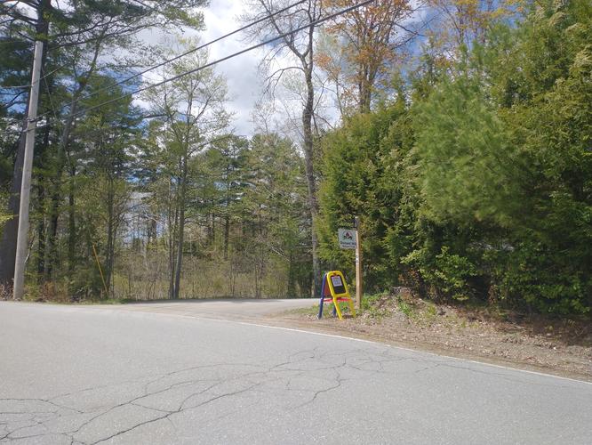
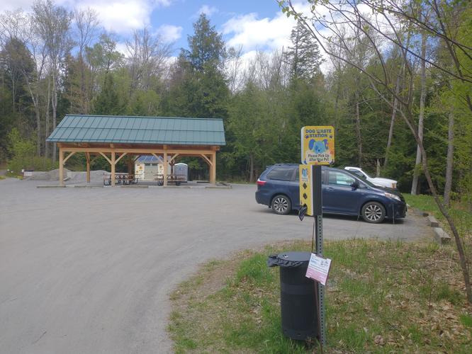
There is no fee to park or use the trails. Donations are welcome and greatly appreciated. There is ample parking at the facility. There are at least a dozen parking spots inside the gated area and room for two or three more cars outside of the gated area. There is also designated handicap parking close to where the story walk begins. Pets: Dogs are welcome as long as they are leashed and owners properly dispose of any dog waste. Dog waste bags and a waste receptacle are provided.Accessibility
A total of two miles of trails are wheelchair and stroller accessible. In addition to these trails, the facility has a program called “LIVE FREE AND RIDE” that offers free use of specialized vehicles called “terrain hoppers”. Terrain hoppers are off-road electric vehicles built to go over all kinds of terrain. These vehicles offer access to nature for those with mobility issues. The center also has trained volunteers who will assist with reservations, safe transfer support and even volunteer assistance for driving the vehicle when necessary. Use of this wonderful free service MUST be reserved in advance to allow for coordination of volunteers. Visitors wishing to take advantage of this program can find additional information on the center's website : www.distanthill.orgHiker and Visitor amenities
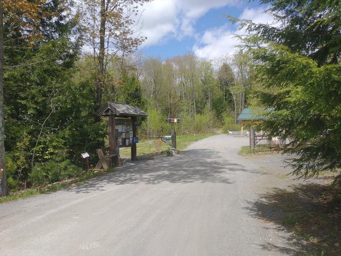
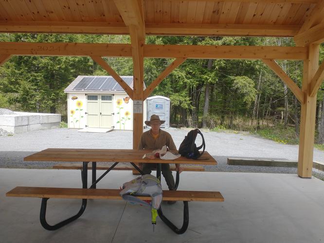
There is an information kiosk at the entrance of the facility. There is a posted trail map and visitors are encouraged to take a picture of the map to take with them as they hike. At the kiosk visitors will find a bench, walking sticks to borrow, bug nets to borrow, a QR code to facilitate donations, pamphlets on how to take advantage of the “LIVE FREE AND RIDE’’ program, information pamphlets about the facility and even Scavenger Hunt/Bingo sheets for the young at heart to take and enjoy as they tour the hiking trails. There is a beautiful timber frame pavilion with several picnic tables. There is also a very large, clean,well stocked portable toilet available behind the pavilion. There are no trash bins for human trash, only a bin for dog waste. Please pack out all the waste you create while enjoying the trails. There are two hidden Geocaches here as well as a playground area for the little ones to enjoy.Length and Trail information
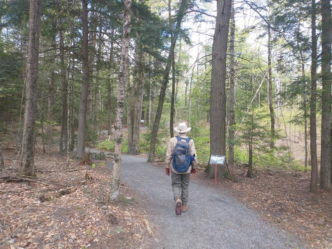
We did this hike as a “loop” hike with an added “out and back” hike to visit the once active Chickering Feldspar Mine located at the Pierre W. Hoge Conservation Base. The total hike was approximately 4.8 miles long and considered to be an easy hike.We started our hike by heading down the Story Walk Trail. This is a delightful addition especially if you are hiking with little ones. Just in case your little one gets tired along the route and needs a ride, there are several wagons you can borrow at the start of the trail. The trail has a children's story book broken down into sections and posted at different intervals along the way. There are also botanical information posts along the trail that inform hikers about the plant life they may be able to observe. There are some 500 University of NH Extension Master Gardeners that volunteer at this facility and their expertise greatly enhances any visit to the facility.
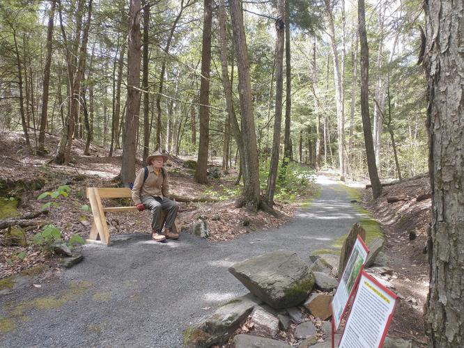
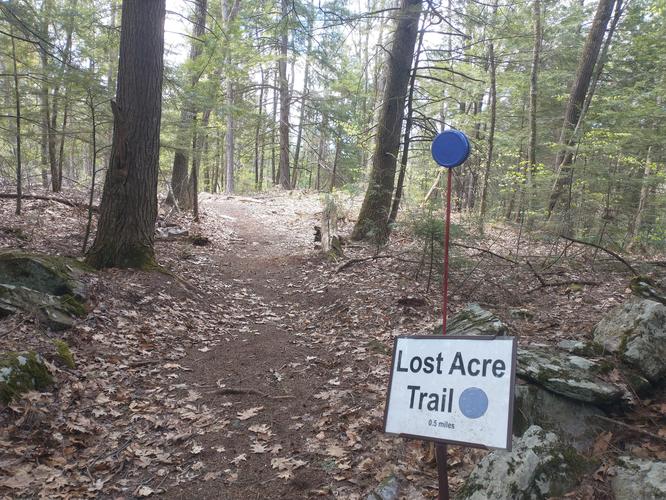
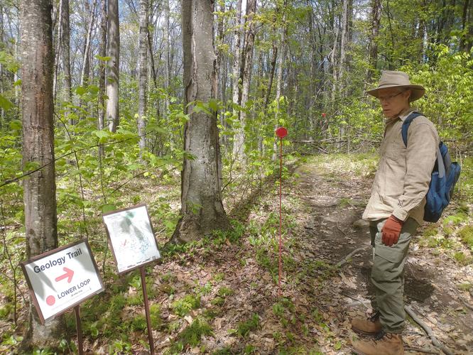
The trails are all well marked with trail signs. Several trail junctions have posted maps. There are lots of different trails here, and each one has its own designated color. There are several benches installed along the trails in case anyone would like to rest. The substrate for two miles of trail are constructed of compacted crushed stone and are wide enough for two hikers to walk side by side. The Lost Acre Trail is not wheelchair accessible and has a substrate typically found in a forest setting: a narrow path that is more “wild” with roots, rocks, muddy areas and varied trip hazards. None of the terrain was difficult, but might not be suitable for those with mobility issues or limited physical fitness. This trail has a variety of elevation changes, nothing severe, just more than what is found on the crushed gravel trails.
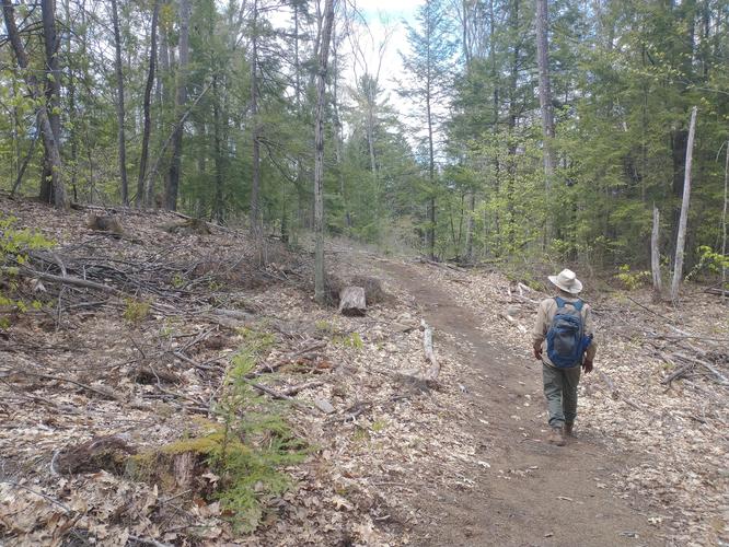
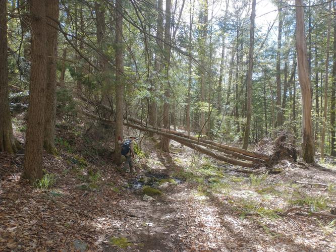
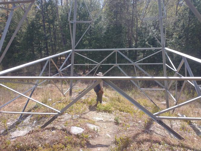
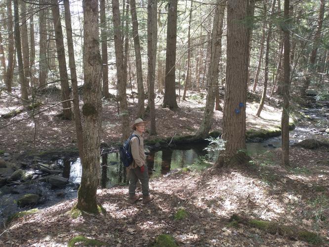
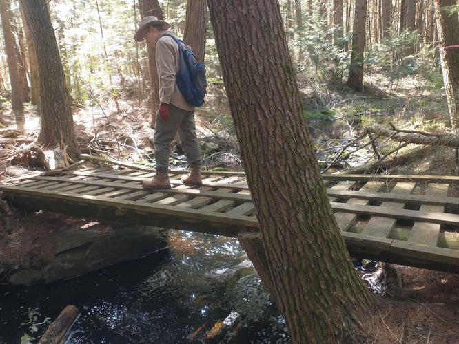
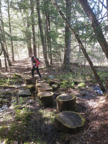
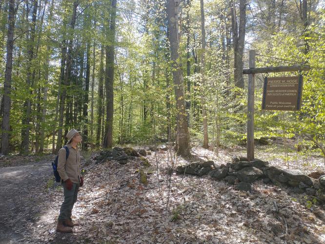
The trail from the Distant Hill facility to the mine was created by the Scouts of America.This trail was marked by wooden triangles painted blue. The trail is a narrow path with various minor trip hazards such as roots and rocks. There were no rock scrambles or severe obstacles. The trail did cross over a wet muddy area. Very large tree stumps have been strategically placed to aid in crossing, but they can be slippery, so use caution. We also had to ford a small stream using stones to cross. There was one section of the trail that crossed under power lines. The trail actually went under one of the towers. Please be careful under the tower as there are cables that run across the path and they are hard to see and are trip hazards. One other water crossing was aided by a large sturdy bridge that looked like it was built to help snowmobilers cross in winter.
We were unable to find the exact location of the mine as the signage was rather ambiguous, however, the hike was interesting and had some fun stream crossings. We explored the area for a short time looking at the mica deposits seen in the rocks that were glittered in the sunshine. We retraced our steps and headed back to Distant Hill Nature Trails. Back at the Distant Hill facility we finished our hike traveling past one of the 10 vernal pools and past the children's playground. Not far from the playground we found the Bog boardwalk that led us through a cranberry bog with information posted about the two carnivorous plants that call this bog home. Use caution when hiking through the bog as the boards are often wet and it can be slippery.
We finished our hike near the kiosk where we found a painted mailbox that held a guestbook. Visitors are encouraged to take a moment and share their thoughts on their experience at the facility. We thoroughly enjoyed our visit and encourage all to visit if they are ever in the area.