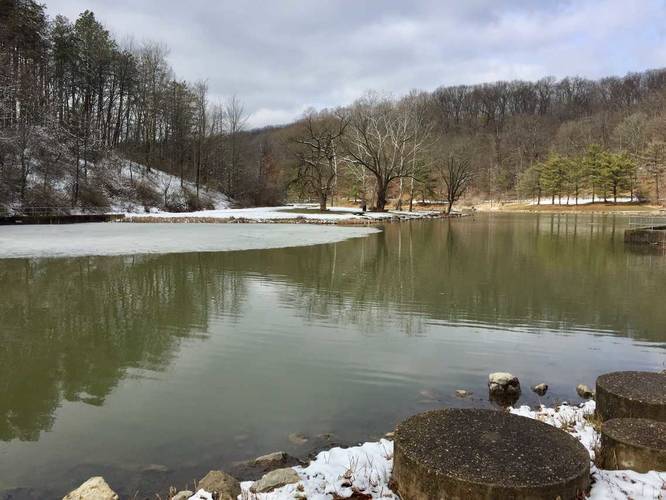
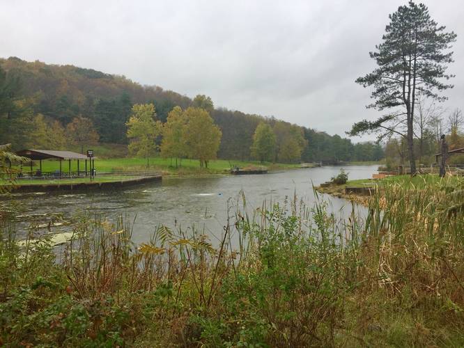
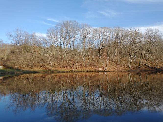
Deer Lakes Park Lake Loop
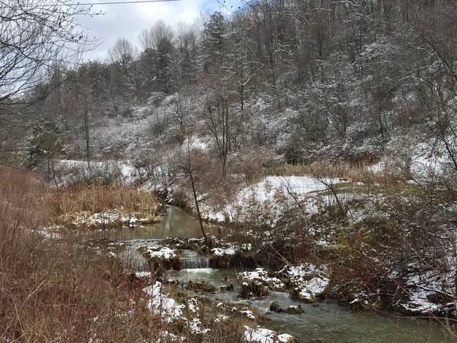
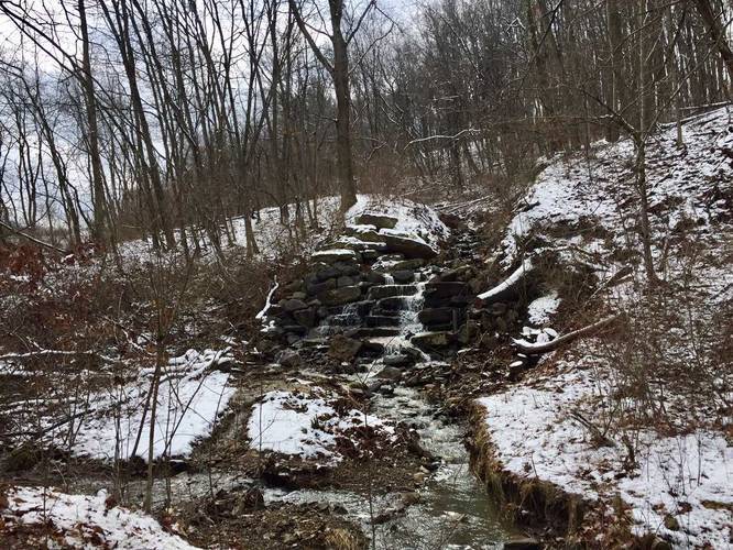
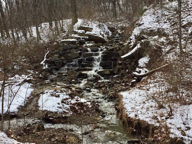
Waterfalls: Along the eastern portion of the trail, there's a waterfall that lies about 100 feet off the trail. The creek feeds into the eastern lake, so follow the creek to the waterfall. You should be able to hear it from the trail as well.
Know Before You Go
Interactive topographic map for Deer Lakes Park Lake Loop located in Tarentum, PA. Click the "View Map" button to load GPS coordinates and trail markers.
View map
Get directions
- Distance
- 1.0 mi
- Difficulty
- Easy
- Type
- Loop
- Est. Time
- 30 min
- Elev. Gain
- 58'
- Rating
- 0.0
- Added
- February 21, 2018
- Updated
- January 23, 2020
Weather Forecast
This Afternoon
High
84°F
Scattered Showers And Thunderstorms
Tonight
Low
67°F
Scattered Showers And Thunderstorms
Tuesday
High
80°F
Showers And Thunderstorms
Tuesday Night
Low
63°F
Chance Showers And Thunderstorms
Wednesday
High
77°F
Chance Rain Showers
Wednesday Night
Low
60°F
Chance Showers And Thunderstorms then Mostly Cloudy
Thursday
High
79°F
Mostly Sunny
Thursday Night
Low
59°F
Mostly Clear
Friday
High
82°F
Sunny
Friday Night
Low
62°F
Partly Cloudy
Saturday
High
83°F
Partly Sunny
Saturday Night
Low
65°F
Chance Showers And Thunderstorms
Sunday
High
83°F
Chance Rain Showers then Chance Showers And Thunderstorms
Sunday Night
Low
64°F
Chance Showers And Thunderstorms
Don't let Google decide who you trust.


Loading...
<strong>Trail map and elevation chart not rendering in print mode?</strong> Simply scroll to the trail map section, then try printing again!
Total Change
40 ft.
12 m
12 m
Ascent
58 ft.
18 m
18 m
Descent
45 ft.
14 m
14 m
Loading...
Features
- Dogs
- Waterfalls
Points of interest
-
Parking
40.622073, -79.826059 -
Main Trailhead
40.621436, -79.826835 -
View of the creek
40.621272, -79.826308 -
Waterfall
40.621131, -79.822136
-
Parking
40.622073, -79.826059 -
Main Trailhead
40.621436, -79.826835
Safety information
For your own safety: plan ahead, let someone know where you'll be, and hike at your own risk.
Availability
All seasons
Surface type
Universal Access
Trip Reports (Reviews)
Ready to help fellow hikers? Add a trip report to share your experience!
1.0
mile
/ 1.6 km
February 12, 2022
Hiking
Pictures
No community routes found. To add your own hike as a Community Route for this Trail guide, leave a Trip Report with an attached GPX file.


You may also like

Explore
Pennsylvania's Grand Canyon
Explore Pennsylvania's Grand Canyon, officially named Pine Creek Gorge, including hiking trails, vistas, overlooks, waterfalls, backcountry campsites, backpacking trails.

Explore
New York's Best Waterfalls
Whether you're planning a day hike, roadside stop, or a leisurely short walk, this guide provides hikers, travelers, and locals alike with 63 different locations to over 100 scenic waterfalls to help plan your next adventure!

Explore
25 Best Day Hikes in West Virginia
Discover 25 of the best day hikes in West Virginia, from scenic overlooks to wilderness trails—perfect for every level of hiker.

Explore
Best of the Alps: Hiking, Adventure & Scenery
Plan your ultimate European Alps adventure! Discover the best hiking trails, epic scenery, and villages in the Swiss Alps, Dolomites, Chamonix, and Lake Como.
deer lakes park

