Trail name(s)
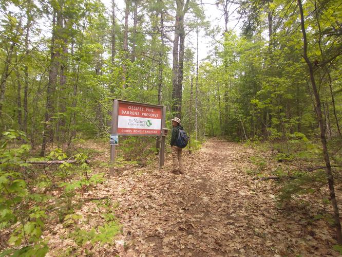
Cooks Pond Forest Trail
Location
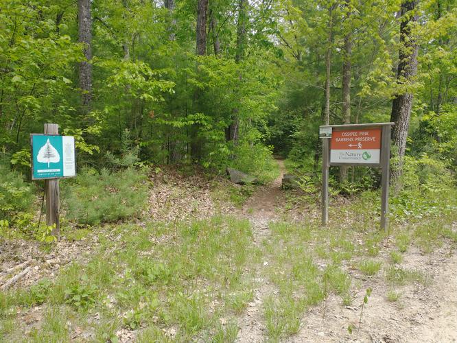
Ossipee Pine Barrens, Lead Mine Road, Madison NH
Permitted uses
Hiking, Nature Study, Snowshoeing, Cross Country skiing
Prohibited uses
No Snowmobiling, No Camping and No open fires. No motorized vehicles and no Horses.
Hours
Dawn to dusk.
Fees and Parking
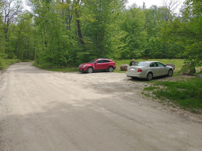
There is no fee to park or use the trail. The access road to the trailhead is not maintained from December 10th to April 10th annually. There is a small parking area across from the trailhead that can accommodate four or five cars.
Pets
Pets must be leashed to avoid disturbing flora and wildlife.
Accessibility
This trail is not wheelchair accessible.
Hiker amenities
There is no information kiosk, no restroom and no trash bins at the trailhead. It’s best to visit The Nature Conservancy website to review the map of the trail as there are no maps provided at the trailhead.
Length and Trail information
This hike was done as a loop hike and is roughly 2.4 miles in length. The trail is marked by a yellow arrow on a green background as well as wooden engraved signs with green painted lettering. The hike is considered to be a moderate hike due to the changes in elevation and the length. The trail is narrow and can comfortably accommodate hiking in single file. The trail is flanked by vegetation and a tick check is warranted at the end of the hike.
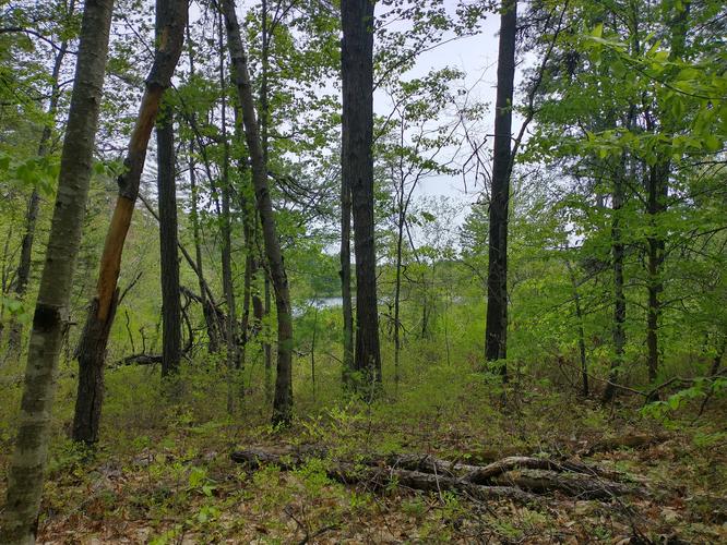
We were hoping that we would be able to get a nice view of Cooks Pond during this hike but we were only able to see tiny glimpses of the pond through the forest from the trail. A better closer view of Cooks Pond would involve hiking off trail and hikers are discouraged from doing so. So instead of having a nice view of the Pond, we shifted our focus to the flora we were able to observe along the wooden trail and the many many birds we were able to hear and see during our hike.
If forest flora is of interest to you then you will be delighted to find Lady Slippers, Scrub Oak, low bush Blueberries, Winterberry, Pipsissewa and Mayflowers. If you have any interest in identifying birds, then you will be in for a real treat. There were so many different birds! We were able to identify the following: Hermit Thrush, Ovenbird, Brown Creeper, Scarlet Tanager, Black and White Warbler, Red eyed Vireo, Black Throated Blue Warbler, Pine Warbler, Chestnut Sided Warbler, Common Yellowthroat, Black Capped Chickadee, Song Sparrow and a Hairy Woodpecker.
So if you are in the Madison NH area,this is a lovely hike even if you are unable to get a good view of the pond, and if birds are your thing, then you will really enjoy your visit.