Loading...

WINTER SALE! 50% OFF Supporter Accounts — now through January 31st. Learn More.

Connor Bayou West Loop

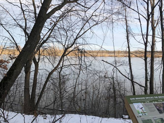
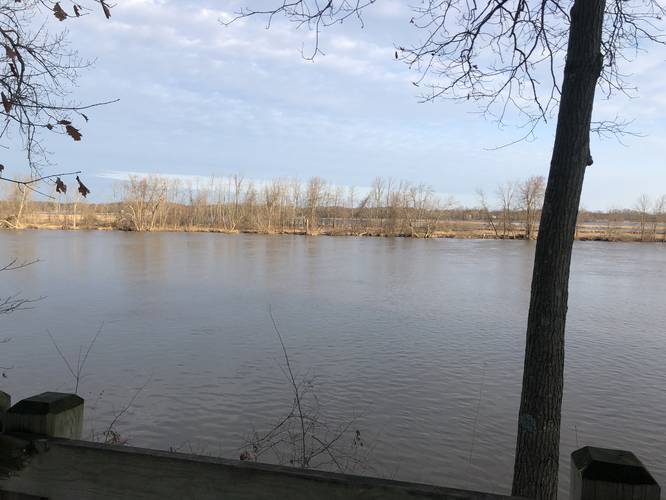
The Connor Bayou West Loop at Connor Bayou in Grand Haven, Michigan is an easy 1.1-mile loop trail that features views of Michigan's Grand River.

This trail encompasses the western side of Connor Bayou and includes an short access trail that connects to 132nd Ave (not shown in this GPS track). The trailhead can be found behind the buildings located next to the parking lot. The trail runs along Grand River before heading south and looping back to the parking lot for a 1.1-mile loop hike.

Pets
Dogs are allowed if leashed and their waste must be carried out by the hiker.

Parking
Hikers can find parking at the coordinates provided. The lot is large enough to fit about a dozen vehicles.
Explore 16 trails near Grand Haven, MI

Know Before You Go

  • Connor Bayou West Loop is an easy, 1.1-mile loop trail in Grand Haven, MI, offering views of the Grand River.
  • The trailhead is located behind the buildings near the parking lot and includes a short access trail to 132nd Ave.
  • Dogs are allowed on the trail if leashed, and hikers must clean up after their pets; parking is available for about a dozen vehicles.
Interactive topographic map for Connor Bayou West Loop located in Grand Haven, MI. Click the "View Map" button to load GPS coordinates and trail markers.
Get directions
Distance
1.1 mi
Difficulty
Easy
Type
Loop
Est. Time
33 min
Elev. Gain
44'
Rating
0.0
Added
January 15, 2020
Updated
February 04, 2020

Weather Forecast

Loading...
Total Change
24'
Ascent
44'
Descent
44'
Loading...

Download the GPX Data for Offline Use

Supporters get exclusive access to download trail routes to the MyHikes app for offline use. Stay prepared on your adventure, even without an internet connection! Become a Supporter today to unlock this feature and hike with confidence.

Download Connor Bayou West Loop GPX Data to the MyHikes Mobile App

Features

Vista / Lookout Point
Dogs

Points of interest

  1. Parking

    43.037947, -86.109771
  2. Main Trailhead

    43.037977, -86.110715

Safety information

For your own safety: plan ahead, let someone know where you'll be, and hike at your own risk.

Availability

All seasons

Surface type

Dirt

Trip Reports (Reviews)

Your opinion matters! Be the first to rate this trail.

Ready to help fellow hikers? Add a trip report to share your experience and provide valuable insights for other hikers!

No community routes found. To add your own hike as a Community Route for this Trail guide, leave a Trip Report with an attached GPX file.

Popular categories

Scenic mountain view representing vista trails
Vista trails
Scenic gorge of cascades representing waterfall trails
Waterfall hikes
Rugged mountain terrain representing summit trails
Summit trails
Scenic mountain view representing dog-friendly trails
Dog-friendly
Scenic campsite with a view representing camping trails
Camping trails
Appalachian Trail logo representing A.T. hikes
A.T. hikes

You May Also Like

Colorado's Million Dollar Highway - Plan a day's drive adventure along the iconic Million Dollar Highway in Colorado. Explore the best short trails, roadside stops, waterfalls, vistas, ghost towns, and hot springs within a ~6 hour road trip.
Explore

Colorado's Million Dollar Highway

Plan a day's drive adventure along the iconic Million Dollar Highway in Colorado. Explore the best short trails, roadside stops, waterfalls, vistas, ghost towns, and hot springs within a ~6 hour road trip.

Read
Glacier's Going-to-the-Sun Road - Discover the breathtaking beauty of Glacier National Park along the iconic Going-to-the-Sun Road. From stunning roadside stops to picturesque waterfalls and vistas, this engineering marvel offers endless opportunities for exploration.
Explore

Glacier's Going-to-the-Sun Road

Discover the breathtaking beauty of Glacier National Park along the iconic Going-to-the-Sun Road. From stunning roadside stops to picturesque waterfalls and vistas, this engineering marvel offers endless opportunities for exploration.

Read
🍪 We use cookies to learn about site usage and to serve map tiles. You may block cookies manually in the browser. By continuing you agree. Learn more