The Coal Creek Falls Viewpoint at San Juan National Forest
near Silverton, Colorado is an easy 0.1-mile out-and-back roadside walk
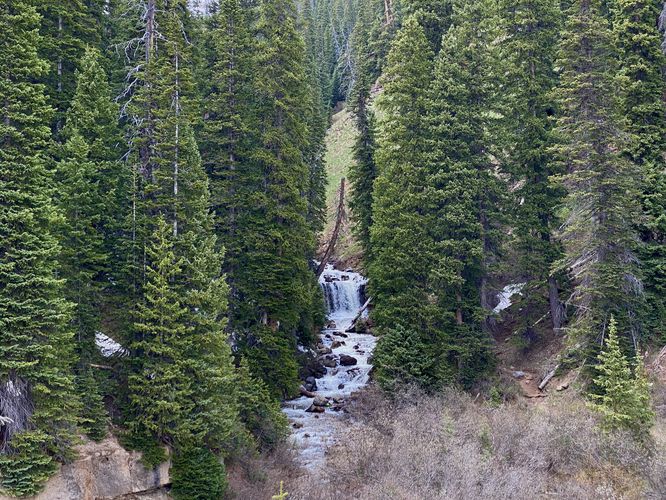
that features views of Coal Creek Falls, located along the Million Dollar
Highway.
This is not a hike but rather a short roadside walk along the Million Dollar Highway that leads to views of Coal Creek Falls. During our visit in early June 2024, we found a trail that ran along the east side of Coal Creek, to reach the base of Coal Creek Falls; however, in keeping good time on our roadtrip we decided to enjoy Coal Creek Falls from the road instead. Visitors will find a nice viewpoint of Coal Creek Falls from the western edge of the Million Dollar Highway where you'll find Coal Creek cascading over a cliff's edge at about 10-feet tall with evergreens surrounding the waterfall.
Parking
Visitors will find a small parking turnout at the coordinates provided, located on the west side of the Million Dollar Highway. The turnout is large enough to fit a couple of vehicles as of June 2024.
Pets
Dogs are allowed if leashed and should be cleaned up after.