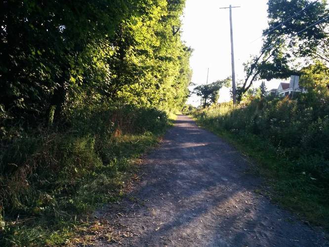
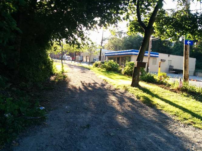
Clearview Park Trail
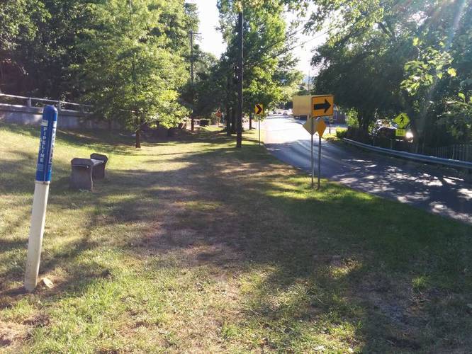
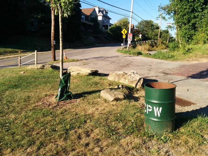
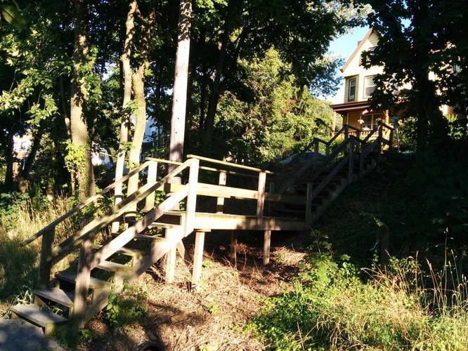
The current end of this trail is at Crafton Boulevard and Noblestown Road. The Crafton section, which runs to Lawson Avenue, is Crafton's Clearview Park.
There are plans by the City of Pittsburgh to extend this trail (West End trolley trail) from the current northeast end into the city's West End neighborhood.
Know Before You Go
Interactive topographic map for Clearview Park Trail located in Crafton, PA. Click the "View Map" button to load GPS coordinates and trail markers.
View map
Get directions
- Distance
- 0.8 mi
- Difficulty
- Easy
- Type
- One-Way
- Est. Time
- 24 min
- Elev. Gain
- 160'
- Rating
- 0.0
- Added
- January 04, 2017
- Updated
- September 21, 2018
Weather Forecast
Don't let Google decide who you trust.


Loading...
<strong>Trail map and elevation chart not rendering in print mode?</strong> Simply scroll to the trail map section, then try printing again!
Total Change
147 ft.
45 m
45 m
Ascent
160 ft.
49 m
49 m
Descent
85 ft.
26 m
26 m
Loading...
Features
- Dogs
- Biking
Points of interest
-
Parking
40.430508, -80.061951 -
Main Trailhead
40.430579, -80.062027 -
Trail follows adjacent to the road
40.430687, -80.061134 -
Trail junction with road
40.436947, -80.059273
-
Parking
40.430508, -80.061951 -
Main Trailhead
40.430579, -80.062027
Safety information
For your own safety: plan ahead, let someone know where you'll be, and hike at your own risk.
Availability
All seasons
Surface type
Dirt
Trip Reports (Reviews)
Ready to help fellow hikers? Add a trip report to share your experience!
No community routes found. To add your own hike as a Community Route for this Trail guide, leave a Trip Report with an attached GPX file.


You may also like

Explore
Pennsylvania's Grand Canyon
Explore Pennsylvania's Grand Canyon, officially named Pine Creek Gorge, including hiking trails, vistas, overlooks, waterfalls, backcountry campsites, backpacking trails.

Explore
New York's Best Waterfalls
Whether you're planning a day hike, roadside stop, or a leisurely short walk, this guide provides hikers, travelers, and locals alike with 63 different locations to over 100 scenic waterfalls to help plan your next adventure!

Explore
25 Best Day Hikes in West Virginia
Discover 25 of the best day hikes in West Virginia, from scenic overlooks to wilderness trails—perfect for every level of hiker.

Explore
Best of the Alps: Hiking, Adventure & Scenery
Plan your ultimate European Alps adventure! Discover the best hiking trails, epic scenery, and villages in the Swiss Alps, Dolomites, Chamonix, and Lake Como.
clearview park

