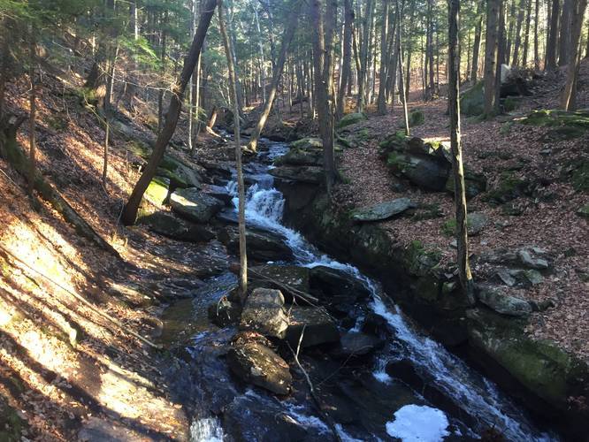
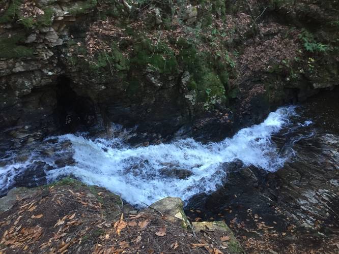
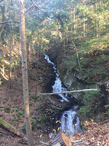
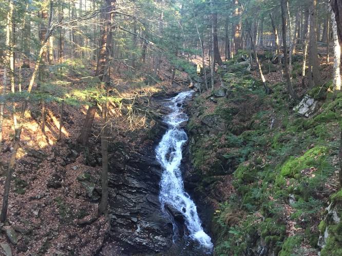
The Chesterfield Gorge Trail at the Chesterfield Gorge Natural Area in Chesterfield, New Hampshire is an easy 0.7-mile out-and-back hike that features a beautiful gorge and a series of waterfalls.
This half-mile out-and-out/loop combination trail should be considered easy for the most part. It is very short but there are some steeper sections and it can be full of roots, so hikers should watch their step.
The trail first leads down from the parking lot to Wilde Brook where the trail splits by a small bridge. Hikers make take either side of the loop trail at the first bridge - both paths offer great views and loop around at the bottom of the gorge; however, the eastern trail offers more views of the cliffs themselves. Along many sections of the trail are low fences for safety but there's a lot of evidence of people walking down into the gorge itself, this can be safe depending on water levels.
Parking
Hikers can find parking at 1823 NH-9, Chesterfield, NH. Parking is free and there's a large lot that can accommodate a few dozen vehicles.
Pets
Dogs are allowed if leashed and their waste must be carried out by the hiker.
Warnings
Hikers should be aware that the creek can be dangerous when the water level is high. Hike at your own risk and only hike down into the gorge along well-defined paths off of the main trail.