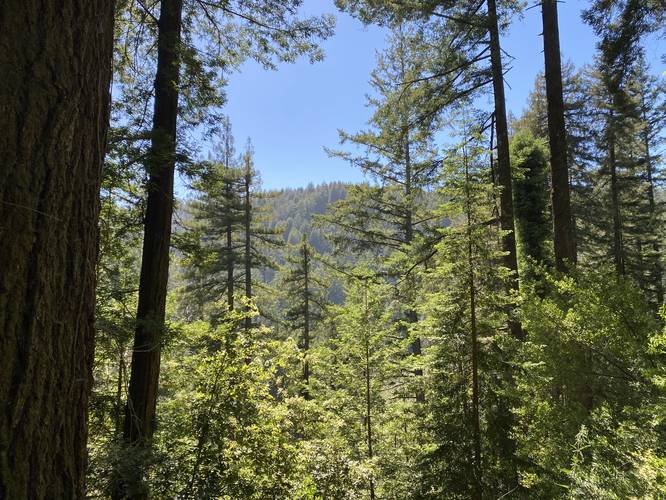
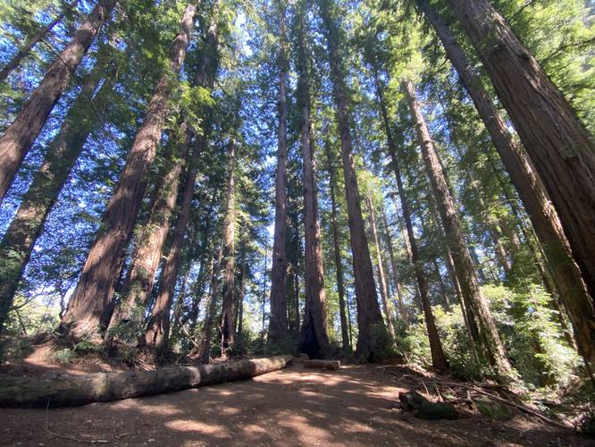
The Cathedral Redwood Grove at Henry Cowell Redwoods State Park in Felton, California is a moderate 4.1-mile loop hike that leads to an old-growth redwood grove where the stand is situated in an almost-perfect circle, which provides hikers a unique view directly toward the sky in the middle of the grove.
Trails
This hike follows several named trail at the park as follows: Redwood Grove Loop Trail, Pipeline Road, Rincon Fire Road, River Trail.
Hike Description
This hike begins at the official entrance to the Redwood Grove Loop Trail, adjacent to the visitors center and follows the the southern half of the loop before reaching a short connector trail to the Pipeline Trail. Once on the Pipeline Trail, hikers will follow that route for about 1.2 miles before reaching the next turn, located at the Rincon Fire Road. Before the Rincon Fire Road junction, hikers will pass a sharp right-hand turn just before-hand - skip this right-hand turn and continue until you locate a trail sign at the junction.
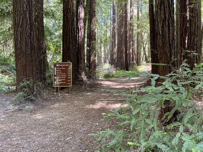
Once on the Rincon Fire Road, hikers will follow this path (keeping left at the River Trail connector junction) until they reach a top of the mountain ridge, where the trail continues south to head toward the Cathedral Redwood grove. Once hikers reach the Big Rock Hole Trail, stay right to continue toward the Cathedral Redwoods grove. The trail will eventually run into yet another junction with the Big Rock Hole Trail to the south - here is where the Cathedral Redwood grove sits.
Hiking Out
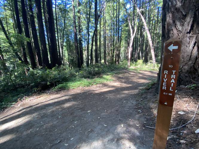
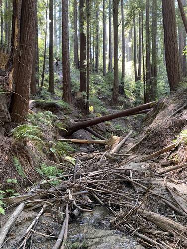
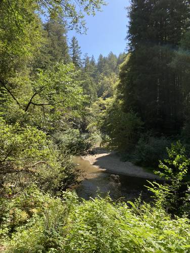
After visiting the Cathedral Redwood grove, hikers can head back exactly the way they came in for an out-and-back, or they can take the River Trail for somewhat of an out-and-back / loop combination hike. This recording takes the Eagle Creek Trail to reach the River Trail, which then leads directly back to parking. Note that to connect Eagle Creek Trail to the River Trail, hikers must make their way across Eagle Creek. Along the River Trail, hikers will pass Cable Car Beach which sits along the banks of the San Lorenzo River.
Prohibited
No dogs, no biking, no horses.
Parking & Fee
There's a small $10 entry fee for vehicles, as of May 2022. If you show up early, parking is abundant. Later in the day, parking may get tricky during certain times of the year as "no parking" signs are littered along the road where overflow usually occurs.
Trails
This hike follows several named trail at the park as follows: Redwood Grove Loop Trail, Pipeline Road, Rincon Fire Road, River Trail.
Hike Description
This hike begins at the official entrance to the Redwood Grove Loop Trail, adjacent to the visitors center and follows the the southern half of the loop before reaching a short connector trail to the Pipeline Trail. Once on the Pipeline Trail, hikers will follow that route for about 1.2 miles before reaching the next turn, located at the Rincon Fire Road. Before the Rincon Fire Road junction, hikers will pass a sharp right-hand turn just before-hand - skip this right-hand turn and continue until you locate a trail sign at the junction.
Once on the Rincon Fire Road, hikers will follow this path (keeping left at the River Trail connector junction) until they reach a top of the mountain ridge, where the trail continues south to head toward the Cathedral Redwood grove. Once hikers reach the Big Rock Hole Trail, stay right to continue toward the Cathedral Redwoods grove. The trail will eventually run into yet another junction with the Big Rock Hole Trail to the south - here is where the Cathedral Redwood grove sits.
Hiking Out
After visiting the Cathedral Redwood grove, hikers can head back exactly the way they came in for an out-and-back, or they can take the River Trail for somewhat of an out-and-back / loop combination hike. This recording takes the Eagle Creek Trail to reach the River Trail, which then leads directly back to parking. Note that to connect Eagle Creek Trail to the River Trail, hikers must make their way across Eagle Creek. Along the River Trail, hikers will pass Cable Car Beach which sits along the banks of the San Lorenzo River.
Prohibited
No dogs, no biking, no horses.
Parking & Fee
There's a small $10 entry fee for vehicles, as of May 2022. If you show up early, parking is abundant. Later in the day, parking may get tricky during certain times of the year as "no parking" signs are littered along the road where overflow usually occurs.