Trail name(s)
Cascades Trail
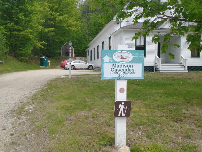
Location
19 East Madison Road, Madison NH. Madison Historical Society Museum
Permitted uses
Hiking, Nature Study
Prohibited uses
No hunting, No camping, No fires and no overnight sleeps. Not suitable for cross country skiing or snowshoeing as the trail is not maintained during winter months.
Hours
There are no posted hours at the trailhead or on the Hiking Trails pamphlet produced by the Madison Conservation Commission. A call to the Madison Town Hall (603) 367-4332 x 302, provided information that the hours are from dawn to dusk. Also the trail is not maintained during winter.
Fees and Parking
There is no fee to park or to use the trail. There is limited parking for approximately 6 vehicles at the Madison Historical Society Museum
Pets
Dogs are welcome on the trail, but must be kept on a leash.
Accessibility
This trail is not wheelchair accessible.
Hiker amenities
There is a porta-potty restroom in the parking area near the trailhead. There are no trash bins and no information kiosk.
Length and Trail information
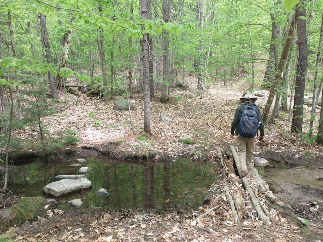
This hike was done as an out and back hike and is considered to be moderate. The hike is short, only 1 mile long, but the reason for the moderate rating is due to the steepness of some sections of the trail. The trail begins at the end of the parking area up a set of concrete stairs. The trail is marked by a red circle with a silver hiker's silhouette embossed on the medallion. There were not many of the markers placed along the trail, but due to the amount of visitors the Cascades receives the path is well worn and quite obvious. The Town of Madison bought this 25 acre parcel in 2004 and the stewardship of the area is handled by the Madison Conservation Commission.
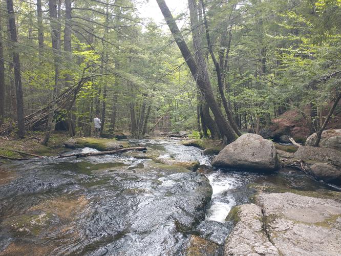
The trail begins with a steep but short ascent that can be a challenge for those with limited physical capabilities. The trail is a fairly wide path that is flanked on either side by a dense mixed forest. The trail crosses a stream where hikers can choose to make their way across by using a rudimentary wooden bridge or carefully making their way over by use of river rocks. The trail substrate is cushioned by a thick layer of pine needles.
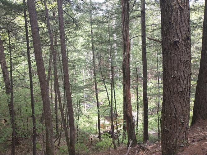
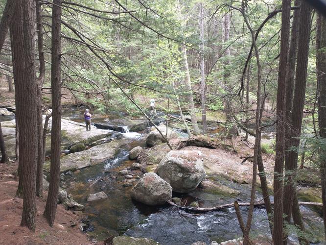
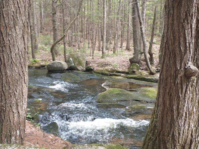
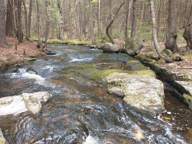
Hikers will be able to see glimpses of the Forest Brook as they hike and the sounds of the rushing water will let you know that you are getting closer to the Cascades. There is a steep descent to the Cascades, and the thick layer of pine needles can make for slippery footing. Please use caution when traveling in this area.
Once safely down to the trail to the banks of Foster Brook, hikers will enjoy the beautiful Cascades. There are several areas to explore that take you into the heart of Forest Brook. Hopefully your visit will be one similar to ours, when the water is flowing swiftly and the Cascades are more dramatic.