The Bullock-pens Park Outer Loop Trail in Pittsburgh, Pennsylvania is a moderate 3 mile hike through the secluded Bullock-Pens Park. This trail starts at the main parking lot at the park on Beulah Rd just south of the intersection with Long Rd. The trail can be hiked in either direction, but this hike starts off at the parking lot and crosses the bridge at the parking lot to head north across Beulah Rd.
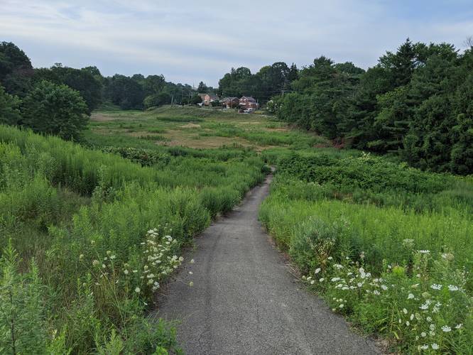
The northern section of the park is likely where the most elevation gain can be found. For the most part, this trail is flat, but the northern section is bit more hilly. The trail is mostly paved, but some of the pavement is uneven and broken up, so watch your steps.
By staying right at most trail intersections, you can easily stay along the outer loop trail. You'll also find shortcuts through the grass that cut through some of the trails' turnaround loops. On the northern side of the trail is a small creek with a few footbridges to cross it. If you have a water filter you can use this creek for a water source as the water is crystal clear.
Views: While there are no real lookout points at this park, there are plenty of areas with great views of the entire park, nearby hills, and the surrounding neighborhoods.
Parking: The main parking lot can be found at the coordinates provided; however, there's another small parking lot at the southern end of this trail where the small spur section heads to McCrady Rd.
Caution: The bridges at the park have not been updated in some time, so some of the bridge floorboards are not in the best shape. Watch your steps on the bridges.