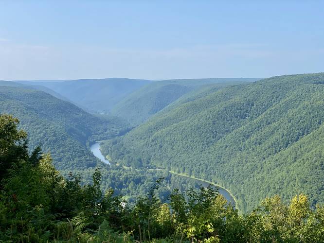
Bull Run Vista at Tiadaghton State Forest in Waterville, Pennsylvania is an easy drive-able roadside view that features stunning views of the PA Grand Canyon, Pine Creek, and Huntley Mountain from high above Waterville.
Note that hikers can also explore this vista via a moderate-to-difficult hike along the Bull Run Vista Loop; however, this guide is simply for the explorer who wishes to walk a minimal distance to enjoy the same view. This is not a hike but rather a walk that visitors can also drive. For folks who do not wish to or cannot walk, this is a great drive-up vista; however, you'll have to fare dirt roads to reach it. Bull Run Vista provides views of the PA Grand Canyon, Pine Creek, and Huntley Mountain from high above Waterville.
Camping
Note that camping is permitted at Tiadaghton State Forest. Camping is likely allowed here, but please follow all state forest rules and regulations.
Parking
Visitors will find parking at the dead-end of Bull Run Road, at the coordinates provided.
Pets
Dogs are allowed if leashed and should be cleaned up after.