The Buffam Falls Blue Loop Trail at the Buffam Falls Conservation Area in Pelham, Massachusetts is an easy 0.7 mile hike past three waterfalls along Buffam Brook and Buffam Falls itself. This trail is the easiest way to get to Buffam Falls, but the trailhead can be difficult to find and parking is a bit of a pain as well.
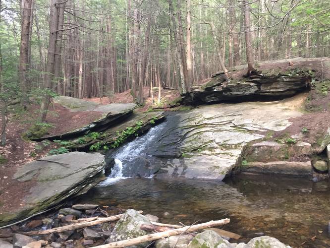
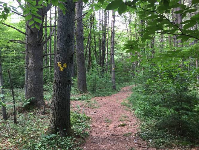
The hike starts off by crossing Buffam Creek over a wooden bridge where you'll reach a sign for Buffam Falls Conservation Area. Take a right-hand turn to follow the blue blazes. Along the way you'll pass two different cascades before reaching Buffam Falls.
Follow the blue blazes all the way to Buffam Falls. Turning back at the falls, the trail continues along blue blazes before reaching yellow blazes. Take this left-hand turn at the yellow blazes and follow the trail for about 0.2 miles. Once you see the split along the yellow-blazed trail, turn left to continue back to parking. Eventually the yellow-blazed trail will reach the blue blazes again before crossing Buffam Creek back to the trailhead.
Trailhead: The trailhead can be found directly across the street from a small white house on the hill located at the parking marker (Get Directions link). It's really difficult to spot, but there's a small metal reflector right next to the trailhead. Once you're on the side of the road, you can't miss it.
Parking: Parking can be found in one of two places - you can technically park at the trailhead, but make sure your vehicle is off the road at least half-way. This spot sits on a curve in the road. Alternatively, there's a larger parking turnout just south of the parking marker along N Valley Rd - you can't miss it.