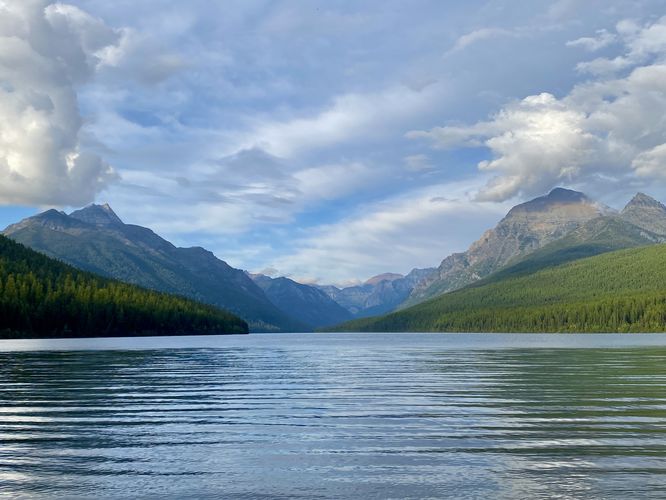
The Bowman Lake Hike at Glacier National Park in Flathead County, Montana is an easy 1.2-mile out-and-back hike that features stunning views of Bowman Lake and the alpine mountains that surround its colorful and reflective waters.
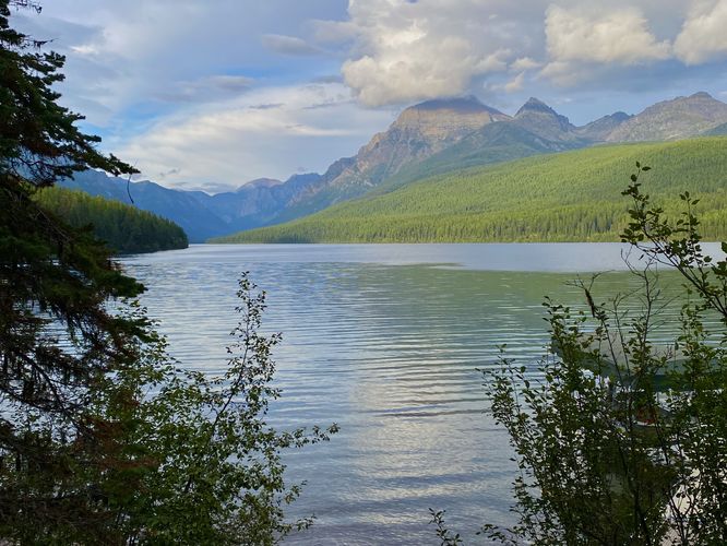
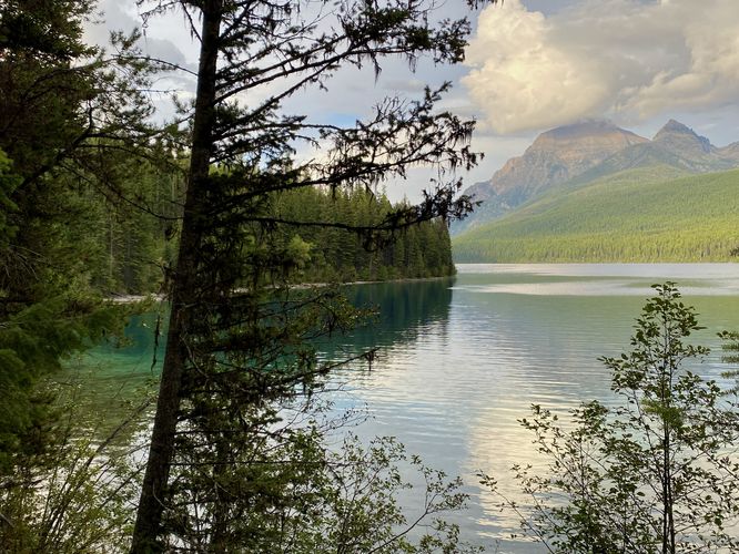
After exploring the lake's beach section near the trailhead, the actual Bowman Lake Trail can be found on the northern side. The Bowman Lake Trail runs for just over 7-miles which is the length of the lake and has designated backcountry campsites. This short section does not reach any campsites, but does lead to a couple of lookout points above the lake where hikers will find beautiful pools of turquoise-colored water within small coves along the lake's north shore. The trail follows a mostly-flat grade as it runs the north shore of Bowman Lake, but it also hits patches of undulating terrain along the way. This exact route ends along the northern section of the lake's first cove where you can find views of the colorful water. During our hike here, we were trying to explore before the sun went down, so we had to hike out before it got too dark for a short 1.2-mile out-and-back hike.
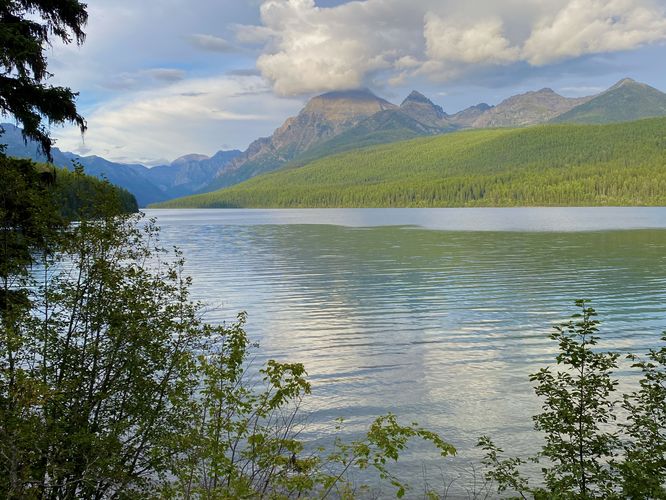
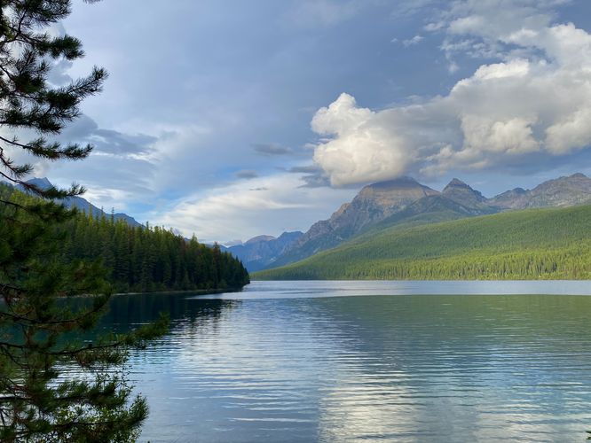
Hiking along Bowman Lake
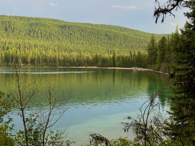
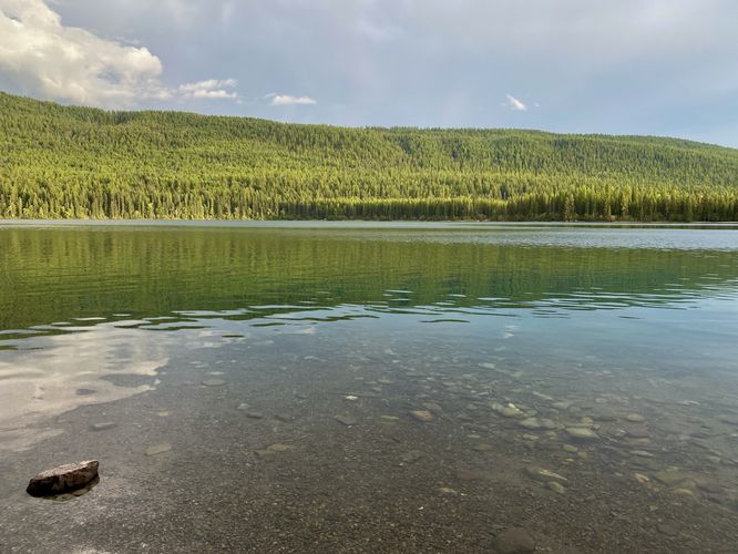
This hike is just a very short out-and-back jaunt along Bowman Lake to take-in views just before sunset, so the distance is not very far; however, visitors will find this trail is an easy and enjoyable walk along the lake. The trailhead begins at the main day-use parking area for Bowman Lake where a small footpath leads from parking out toward the boat launch and beach area. At the beach, you'll find the best views of Bowman Lake without having to hike long distances. On a still day when the air isn't moving too much, you can find Bowman Lake's glassy water reflect the distant alpine mountains that tower along its shores to the north. Regardless of the water's calmness, you'll also find colorful rocks of red, orange, blue-ish gray, and tan hues that sit at the bottom of the lake.After exploring the lake's beach section near the trailhead, the actual Bowman Lake Trail can be found on the northern side. The Bowman Lake Trail runs for just over 7-miles which is the length of the lake and has designated backcountry campsites. This short section does not reach any campsites, but does lead to a couple of lookout points above the lake where hikers will find beautiful pools of turquoise-colored water within small coves along the lake's north shore. The trail follows a mostly-flat grade as it runs the north shore of Bowman Lake, but it also hits patches of undulating terrain along the way. This exact route ends along the northern section of the lake's first cove where you can find views of the colorful water. During our hike here, we were trying to explore before the sun went down, so we had to hike out before it got too dark for a short 1.2-mile out-and-back hike.