Blue Loop Trail
Nothing special about this trail, but it's quiet and you often don't see other hikers. The occasional mountain biker will pass through, but even that's rare.
Excellent place to walk or hike a leash-reactive dog or just get away from the city and people.
Know Before You Go
Interactive topographic map for Blue Loop Trail located in Tarentum, PA. Click the "View Map" button to load GPS coordinates and trail markers.
View map
Get directions
- Distance
- 2.0 mi
- Difficulty
- Easy
- Type
- Loop
- Est. Time
- 1 hrs
- Elev. Gain
- 331'
- Rating
- 0.0
- Added
- October 10, 2015
- Updated
- June 06, 2018
Weather Forecast
Don't let Google decide who you trust.


Loading...
<strong>Trail map and elevation chart not rendering in print mode?</strong> Simply scroll to the trail map section, then try printing again!
Total Change
129 ft.
39 m
39 m
Ascent
331 ft.
101 m
101 m
Descent
354 ft.
108 m
108 m
Loading...
Features
- Dogs
- Biking
Points of interest
-
Parking
40.627907, -79.822609 -
Main Trailhead
40.628036, -79.8231 -
Trail heads straight after field junction
40.628158, -79.816292 -
Trail heads downhill from junction with field
40.628147, -79.816436
Safety information
For your own safety: plan ahead, let someone know where you'll be, and hike at your own risk.
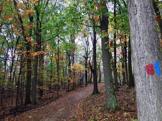
Markers
Blaze Color
Blue
0000cc
Availability
Fall
Surface type
Dirt
Trip Reports (Reviews)
Ready to help fellow hikers? Add a trip report to share your experience!
2.0
miles
/ 3.2 km
November 09, 2020
Hiking
No community routes found. To add your own hike as a Community Route for this Trail guide, leave a Trip Report with an attached GPX file.


You may also like

Explore
Pennsylvania's Grand Canyon
Explore Pennsylvania's Grand Canyon, officially named Pine Creek Gorge, including hiking trails, vistas, overlooks, waterfalls, backcountry campsites, backpacking trails.

Explore
New York's Best Waterfalls
Whether you're planning a day hike, roadside stop, or a leisurely short walk, this guide provides hikers, travelers, and locals alike with 63 different locations to over 100 scenic waterfalls to help plan your next adventure!

Explore
25 Best Day Hikes in West Virginia
Discover 25 of the best day hikes in West Virginia, from scenic overlooks to wilderness trails—perfect for every level of hiker.

Explore
Best of the Alps: Hiking, Adventure & Scenery
Plan your ultimate European Alps adventure! Discover the best hiking trails, epic scenery, and villages in the Swiss Alps, Dolomites, Chamonix, and Lake Como.
deer lakes park

