Loading...

📌 Love our trails? Set MyHikes as your preferred Google source. Add Now ⛰️

Bingham Falls via Mill Trail

Trail name(s)

Mill Trail to Bingham Falls

Location

Notchbrook Road, Stowe VT; Smugglers' Notch State Park

Permitted uses

Hiking, Hunting and fishing within legal seasons and in accordance with Vermont regulations

Prohibited uses

No motorized vehicles, bikes or horses. No cutting new trails. No overnight camping or fires.

Hours

Dawn to Dusk

Fees and Parking

There is no fee to park or use the trail, however, visitors are welcome to make a donation to the Stowe Land Trust. A QR code is posted at the kiosk to support the stewardship of this protected land. Parking is limited and many visitors park alongside the road. Use caution when crossing the road.

Pets

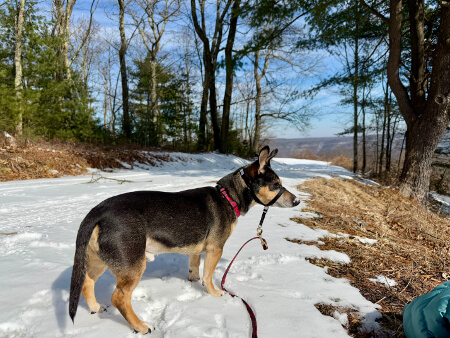
Dogs must be leashed or under voice control of the owner. Please pick up after your pet.

Accessibility

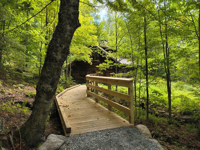
The main part of the Mill Trail has recently been upgraded by the Stowe Land Trust to meet U.S. Forest Service Universal Access (UA) standards. These changes included UA trail surface, upgraded bridges and stream crossings and gentler trail grades. There is now a UA side trail to the historic Moravian Cabin. Access to Bingham Falls is not wheelchair accessible at this time.

Hiker amenities

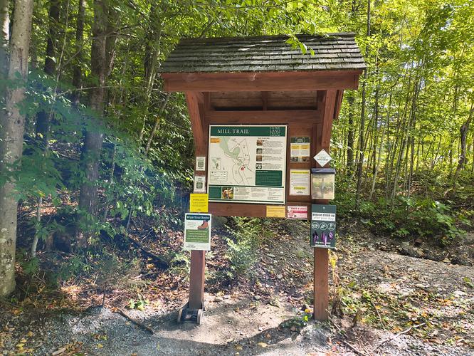
There is an information kiosk at the trailhead that has a posted map and maps to take with you along the hike. There are no restrooms and no trash bins. Please carry out all trash and waste, including pet waste. Pet waste bags are available to visitors at the kiosk. There is a boot brush at the kiosk and visitors are encouraged to wipe their boots before and after visiting this area. This will help prevent the spread of invasive plants.

Length and Trail information

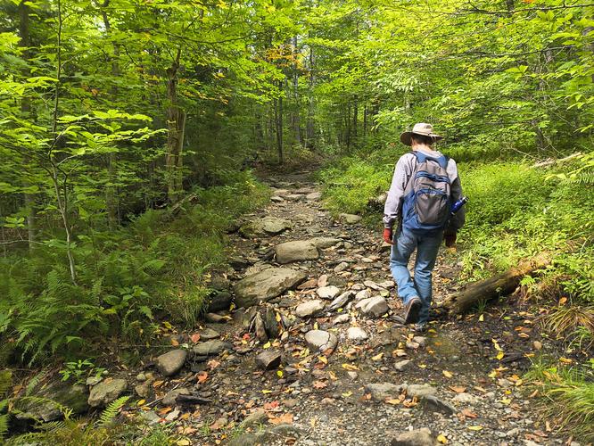
This hike was done as an out and back hike. The hike is roughly 2. miles round trip and is an easy hike. There are no trail blazes but the trail is obvious and blazes are not necessary. The majority of the trail substrate is packed gravel. The trail was once a logging road and so it is wide enough for two hikers to comfortably walk side by side.

Our goal for this hike was to make our way to Bingham Falls which is part of Smuggler’s Notch State Park, and explore the waterfalls.

Our first stop along the hike was to visit the Cabin that was built in 1935 by Dr. Marguerite Lichtenthaeler. During the summer, visitors can learn more about the cabin and its history from the Stowe Land Trust’s Naturalist Program. During our visit the cabin was closed, but we were able to access the screen porch and read a historic banner that is mounted inside the porch. Thanks to the banner, we learned about this special cabin and its history with the ski tourism in the Stowe area.

A short distance from the Cabin, the trail becomes rougher and is no longer UA accessible, however it is by no means difficult to hike. We made our way along the trail, stopping along the way to enjoy the views of the West Branch of the Little River and the streams that feed into it from higher up.

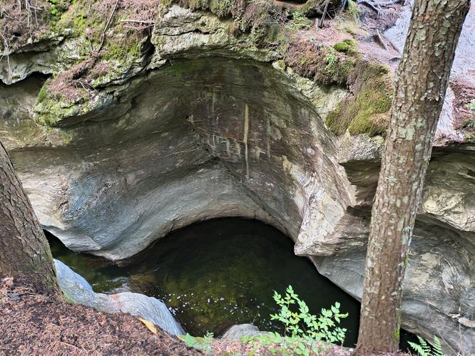
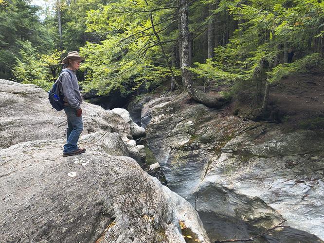
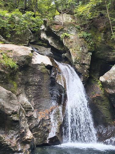
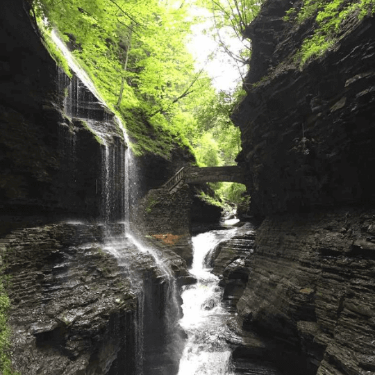
As we approached the falls, we could hear the sound of the rushing water. We hiked up to the top of the falls and got closer to the rocky edge. The gorges and rounded pots that have been carved by water are very impressive, and a little bit scary if you get too close to the edge. We hiked past the falls to the next trail junction before turning around where the river is fed from two angles. On the way back we hiked down the side of the trail to see the biggest waterfall. Use caution hiking down as the water spray from the falls can cause the rocks to be slippery.

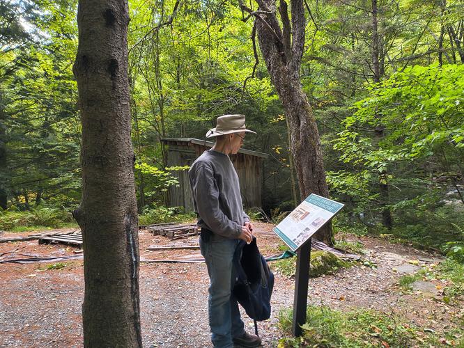
After getting our fill of the waterfall, we hiked past the cabin and took a side trail to see the Old Mill and Blacksmith Shop site. There is a bench and a picnic bench here and some information posted about the history of the site. We explored the former mill pond down to the river and then made our way back to the main trail.

This was a lovely hike. Easy to do and loaded with history, education and natural beauty.
Explore 2 trails near Stowe, VT

Know Before You Go

  • The Mill Trail offers an easy 2-mile round-trip hike with U.S. Forest Service Universal Access (UA) sections leading to the historic Moravian Cabin. However, note that the final stretch to Bingham Falls becomes rougher and is not wheelchair accessible.
  • Parking is free but limited along Notchbrook Road, so plan to arrive early and exercise caution when crossing. There are no restrooms or trash bins on-site, so visitors must carry out all waste and use the boot brush at the trailhead kiosk to prevent invasive species.
  • Leashed dogs and dogs under voice control are welcome on the trail, and waste bags are provided at the kiosk. Motorized vehicles, bikes, horses, overnight camping, and fires are strictly prohibited.
Interactive topographic map for Bingham Falls via Mill Trail located in Stowe, VT. Click the "View Map" button to load GPS coordinates and trail markers.
Get directions
Distance
2.2 mi
Difficulty
Moderate
Type
Out-and-Back
Est. Time
1.1 hrs
Elev. Gain
444'
Rating
0.0
Added
October 01, 2026
Updated
October 27, 2026

Weather Forecast

Don't let Google decide who you trust.

Loading...
Total Change
271 ft.
83 m
Ascent
444 ft.
135 m
Descent
428 ft.
130 m
Loading...

Download the GPX Data for Offline Use

Supporters get exclusive access to download trail routes to the MyHikes app for offline use. Stay prepared on your adventure, even without an internet connection! Become a Supporter today to unlock this feature and hike with confidence.

Download Bingham Falls via Mill Trail GPX Data to the MyHikes Mobile App

Features

Dogs
Waterfalls
Water Source

Points of interest

  1. Parking

    44.509848, -72.758784
  2. Main Trailhead

    44.510111, -72.758981
  3. Trailhead Kiosk

    44.510226, -72.758943
    Trailhead Kiosk
  4. Upgraded access to the cabin

    44.5116, -72.7591
    Upgraded access to the cabin

Safety information

For your own safety: plan ahead, let someone know where you'll be, and hike at your own risk.

Hazards

Rockfalls, Ledges, or Scrambles

Availability

All seasons

Surface type

Dirt

Trip Reports (Reviews)

Your opinion matters! Be the first to rate this trail.

Ready to help fellow hikers? Add a trip report to share your experience!

No community routes found. To add your own hike as a Community Route for this Trail guide, leave a Trip Report with an attached GPX file.

Explore Autumn Foliage

No Change
Some Color
Low Color
Moderate Color
High Color
Peak Color
Past Peak
Sept 1 Sept 8 Sept 15 Sept 22 Sept 29 Oct 6 Oct 13 Oct 20 Oct 27 Nov 3 Nov 10 Nov 17 Nov 24

Find Hiking Trails Near Me

You may also like

Colorado's Million Dollar Highway - Plan a day's drive adventure along the iconic Million Dollar Highway in Colorado. Explore the best short trails, roadside stops, waterfalls, vistas, ghost towns, and hot springs within a ~6 hour road trip.
Explore

Colorado's Million Dollar Highway

Plan a day's drive adventure along the iconic Million Dollar Highway in Colorado. Explore the best short trails, roadside stops, waterfalls, vistas, ghost towns, and hot springs within a ~6 hour road trip.

Read
Glacier's Going-to-the-Sun Road - Discover the breathtaking beauty of Glacier National Park along the iconic Going-to-the-Sun Road. From stunning roadside stops to picturesque waterfalls and vistas, this engineering marvel offers endless opportunities for exploration.
Explore

Glacier's Going-to-the-Sun Road

Discover the breathtaking beauty of Glacier National Park along the iconic Going-to-the-Sun Road. From stunning roadside stops to picturesque waterfalls and vistas, this engineering marvel offers endless opportunities for exploration.

Read
🍪 We use cookies to learn about site usage and to serve map tiles. You may block cookies manually in the browser. By continuing you agree. Learn more