The Beech Forest Trail at Cape Cod National Seashore in Provincetown, Massachusetts is an easy 1.1-mile loop hike that features pond views and a colorful mossy landscape.
Hike Description
This hike begins at the large parking lot at the coordinates provided and follows the Beech Forest Trail in a counter-clockwise direction. The trail starts off along a boardwalk that leads over a small section of swampy forest, but the trail follows a sandy substrate for most of the way. Within the first 100-feet is an off-trail view of the pond and not long after the short boardwalk ends, the vibrant green moss begins to appear along the trail. I personally felt like the moss, trees, and sandy substrate of the trail really were the stars of show along this trail and that the pond views were second-best. Once you're hiking along the different shades of vibrant green moss, you'll understand what I mean.
The trail itself is fairly easy walking despite the sandy substrate - there's not a ton of undulation and when there is, it's not steep or difficult. Most sections of the trail, that would be steep, have staircases built into the hillsides to make it a bit easier.
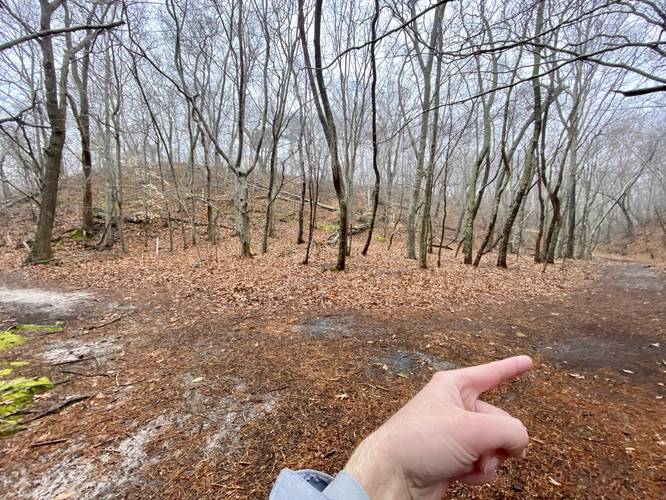
Junction - Mile 0.4
At mile 0.4, hikers will reach a fork in the trail - this GPS track keeps right for a longer walk which leads up a forest staircase with moss growing along the side. The easier route here is to stay left as that path is a bit flatter and shorter mileage.
Vibrant Moss - Mile 0.7
If you choose to hike the longer way, around mile 0.7, hikers will reach a larger section of vibrant green moss growing on the hillside adjacent to the trail - this was my favorite part of the hike especially due to the the gray and rainy day when I visited.
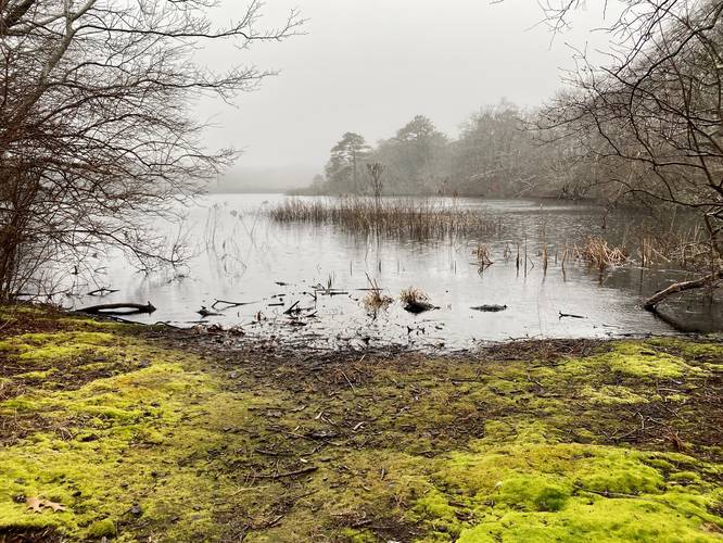
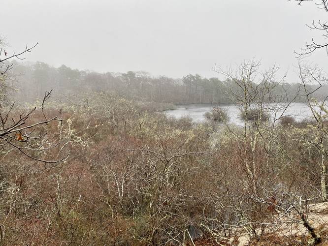
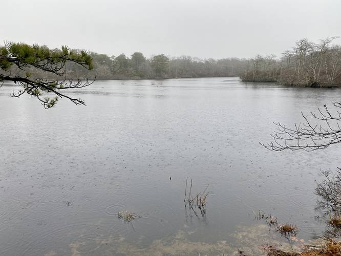
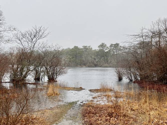
Pond Views - Mile 0.8 to 1.1
From mile 0.8, until you reach the end of the trail at the parking lot, hikers have three different chances to get decent views of the blackwater pond. The hike ends around mile 1.1 with the last view of the pond adjacent to the parking lot.
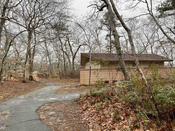
Restrooms
There are restrooms available during warmer months located near the parking lot.
Parking
Hikers will find a massive parking lot at the coordinates provided. It's large enough to fit several dozen vehicles.
Pets
Dogs are not allowed on this trail.
Hike Description
This hike begins at the large parking lot at the coordinates provided and follows the Beech Forest Trail in a counter-clockwise direction. The trail starts off along a boardwalk that leads over a small section of swampy forest, but the trail follows a sandy substrate for most of the way. Within the first 100-feet is an off-trail view of the pond and not long after the short boardwalk ends, the vibrant green moss begins to appear along the trail. I personally felt like the moss, trees, and sandy substrate of the trail really were the stars of show along this trail and that the pond views were second-best. Once you're hiking along the different shades of vibrant green moss, you'll understand what I mean.
The trail itself is fairly easy walking despite the sandy substrate - there's not a ton of undulation and when there is, it's not steep or difficult. Most sections of the trail, that would be steep, have staircases built into the hillsides to make it a bit easier.
Junction - Mile 0.4
At mile 0.4, hikers will reach a fork in the trail - this GPS track keeps right for a longer walk which leads up a forest staircase with moss growing along the side. The easier route here is to stay left as that path is a bit flatter and shorter mileage.
Vibrant Moss - Mile 0.7
If you choose to hike the longer way, around mile 0.7, hikers will reach a larger section of vibrant green moss growing on the hillside adjacent to the trail - this was my favorite part of the hike especially due to the the gray and rainy day when I visited.
Pond Views - Mile 0.8 to 1.1
From mile 0.8, until you reach the end of the trail at the parking lot, hikers have three different chances to get decent views of the blackwater pond. The hike ends around mile 1.1 with the last view of the pond adjacent to the parking lot.
Restrooms
There are restrooms available during warmer months located near the parking lot.
Parking
Hikers will find a massive parking lot at the coordinates provided. It's large enough to fit several dozen vehicles.
Pets
Dogs are not allowed on this trail.