The Beaver Run Viewing Trail at the Quehanna Wild Area near Benezette, Pennsylvania is an easy 0.6-mile out-and-back trail that leads to a viewing area alongside the Beaver Run shallow water impoundment.
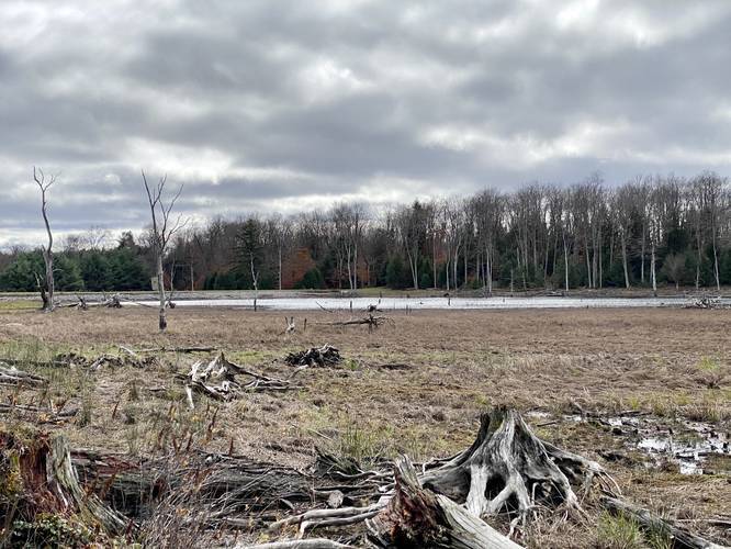
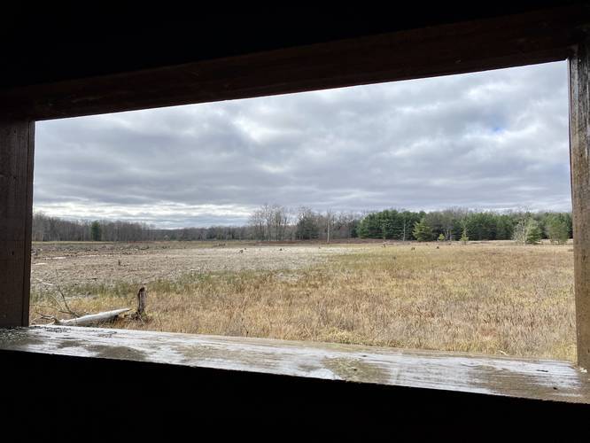
This short trail is well-maintained and mostly flat, making it an easy hike. The Beaver Run impoundment is a wetland that changes each season. Based on the abundance of water the shallow water pond could be much larger or very small (as when this trail was tracked in October 2020). The water impoundment is a sanctuary for animals to find water, homes, and mate. There's a sheltered viewing area at the end of the trail, which is handy for hikers looking for wild animals. Wild elk live in the forests and mountains nearby, so this is a popular place for folks to try and find elk early in the morning or just before sunset; however, we did not see any mid-day while visiting on this trip.
This water impoundment used to be a hemlock forest until it was logged decades ago. After the area was logged it became saturated with too much water since there were no hemlock trees to soak it up, which is the reason why today the land is mostly wetlands with wide open views.
Parking
Hikers will find parking at the large lot located near the coordinates provided.
Pets
Dogs are allowed if leashed.