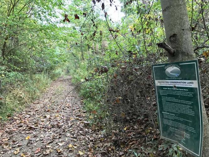
The Uplands Trail at Barking Slopes Conservation Area outside of Pittsburgh, PA is an easy 1 mile loop/out-and-back combo hike with a great overlook of the Allegheny River on the west side of the trail.
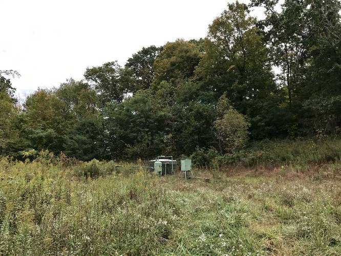
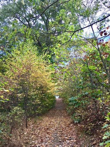
To get to this trail, you'll need to hike in on the Easement Trail which is 0.5 miles one-way, so plan for a 1.5 to 2 mile hike to the overlook and back to parking. The trail splits into two different directions - east and west - but has a loop in the middle. This GPS data starts by taking the immediate right and heads up two trails to the right side - the first section leads to a gas well which I turned back to get to the 2nd spur. The 2nd spur leads out to the power lines and keeps going for a bit, but I decided to head back to the west side instead.
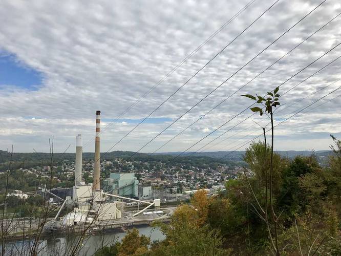
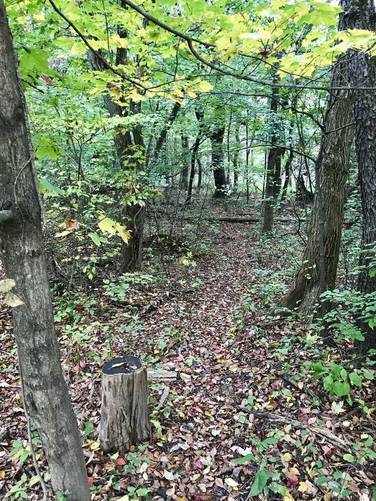
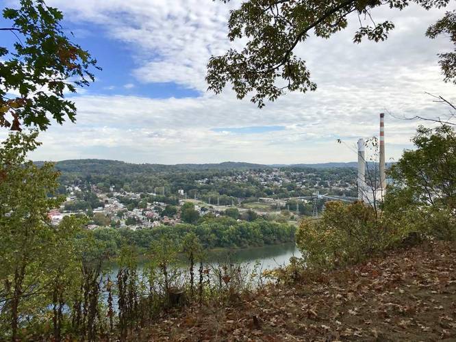
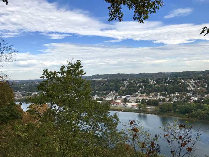
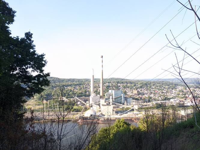
On your way back to the loop portion of the trail, look to your right to find a small trail - this is the loop. This section of the loop is not well marked and kind of hard to follow in the fall with leaves on the ground, but continue on until you see the main trail again. From here, you'll hike uphill slightly for about 0.2 to 0.3 miles before you reach a small Allegheny Land Trust sign pointing to a nice overlook of the Allegheny River.
You can continue for about 0.1 or 0.2 miles to the west before the Allegheny Land Trust property ends. Here you can turn back and take the remaining portion of the loop back to where the Easement Trail ends.
To get to this trail, you'll need to hike in on the Easement Trail which is 0.5 miles one-way, so plan for a 1.5 to 2 mile hike to the overlook and back to parking. The trail splits into two different directions - east and west - but has a loop in the middle. This GPS data starts by taking the immediate right and heads up two trails to the right side - the first section leads to a gas well which I turned back to get to the 2nd spur. The 2nd spur leads out to the power lines and keeps going for a bit, but I decided to head back to the west side instead.
On your way back to the loop portion of the trail, look to your right to find a small trail - this is the loop. This section of the loop is not well marked and kind of hard to follow in the fall with leaves on the ground, but continue on until you see the main trail again. From here, you'll hike uphill slightly for about 0.2 to 0.3 miles before you reach a small Allegheny Land Trust sign pointing to a nice overlook of the Allegheny River.
You can continue for about 0.1 or 0.2 miles to the west before the Allegheny Land Trust property ends. Here you can turn back and take the remaining portion of the loop back to where the Easement Trail ends.