Riverside Trail
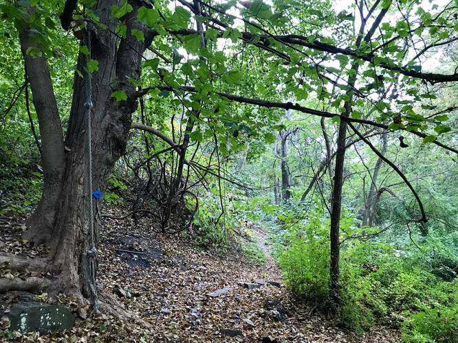
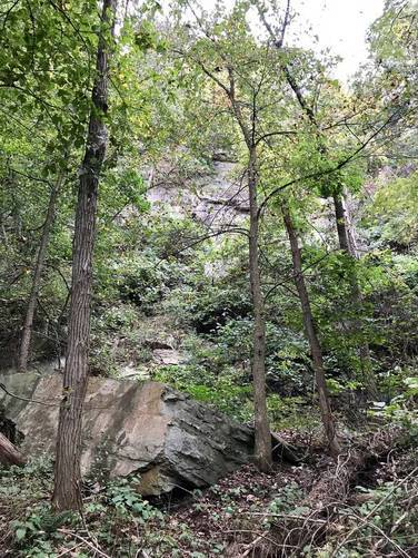
This trail is unique in that it runs along large ledges and weaves through section of tall bamboo plants. The trailhead can be found at the entrance to the parking lot right where Barking rd meets the hairpin turn that leads to a dead end. The trail meets up again with Barking Rd about 0.6 to 0.7 miles down. We almost made it to the end of the trail before turning back since there wasn't much else to see.
Follow the blue blaze/arrow signs on the trees.
Know Before You Go
Interactive topographic map for Riverside Trail located in New Kensington, PA. Click the "View Map" button to load GPS coordinates and trail markers.
View map
Get directions
- Distance
- 1.2 mi
- Difficulty
- Easy
- Type
- Out-and-Back
- Est. Time
- 36 min
- Elev. Gain
- 117'
- Rating
- 0.0
- Added
- October 02, 2017
- Updated
- June 06, 2018
Weather Forecast
Don't let Google decide who you trust.


Loading...
<strong>Trail map and elevation chart not rendering in print mode?</strong> Simply scroll to the trail map section, then try printing again!
Total Change
82 ft.
25 m
25 m
Ascent
117 ft.
36 m
36 m
Descent
119 ft.
36 m
36 m
Loading...
Features
- Dogs
Points of interest
-
Parking
40.532913, -79.781814 -
Main Trailhead
40.532817, -79.781859 -
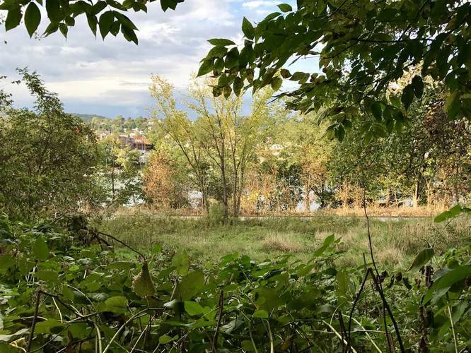
Allegheny River view
40.532528, -79.783608 -
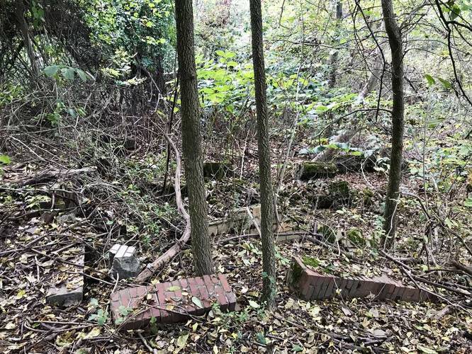
Old structure with foundation
40.53274, -79.785067
-
Parking
40.532913, -79.781814 -
Main Trailhead
40.532817, -79.781859
Safety information
For your own safety: plan ahead, let someone know where you'll be, and hike at your own risk.
Markers
Blaze Color
Blue
0000cc
Availability
All seasons
Surface type
Dirt
Trip Reports (Reviews)
Ready to help fellow hikers? Add a trip report to share your experience!
No community routes found. To add your own hike as a Community Route for this Trail guide, leave a Trip Report with an attached GPX file.


You may also like

Explore
Pennsylvania's Grand Canyon
Explore Pennsylvania's Grand Canyon, officially named Pine Creek Gorge, including hiking trails, vistas, overlooks, waterfalls, backcountry campsites, backpacking trails.

Explore
New York's Best Waterfalls
Whether you're planning a day hike, roadside stop, or a leisurely short walk, this guide provides hikers, travelers, and locals alike with 63 different locations to over 100 scenic waterfalls to help plan your next adventure!

Explore
25 Best Day Hikes in West Virginia
Discover 25 of the best day hikes in West Virginia, from scenic overlooks to wilderness trails—perfect for every level of hiker.

Explore
Best of the Alps: Hiking, Adventure & Scenery
Plan your ultimate European Alps adventure! Discover the best hiking trails, epic scenery, and villages in the Swiss Alps, Dolomites, Chamonix, and Lake Como.
barking slopes conservation area

