The Barclay Cemetery at State Game Lands 12 near Canton, Pennsylvania is an easy 0.8-mile out-and-back walk that leads to the long-lost Village of Barclay's remote forest cemetery.
Walk Description
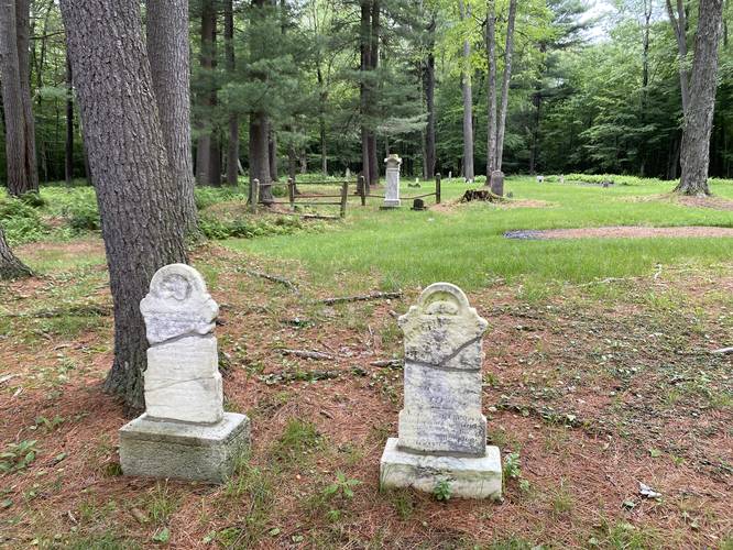
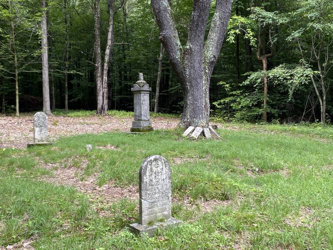
This is not a hike, but rather a short walk that leads down a forest road and out to the historic Barclay Cemetery. The Village of Barclay was a thriving coal-mining town starting in the 1860s - 1880s. By the 1890s the coal had run out and was no longer profitable, so the town collapsed. Life in Barclay was not easy as there were many outbreaks of smallpox and other diseases. The cemetery holds graves of many of the people that died in Barclay - many of which are children. The folks that died in Barclay, often died from disease or a mine accident; however, not all buried here died from either.
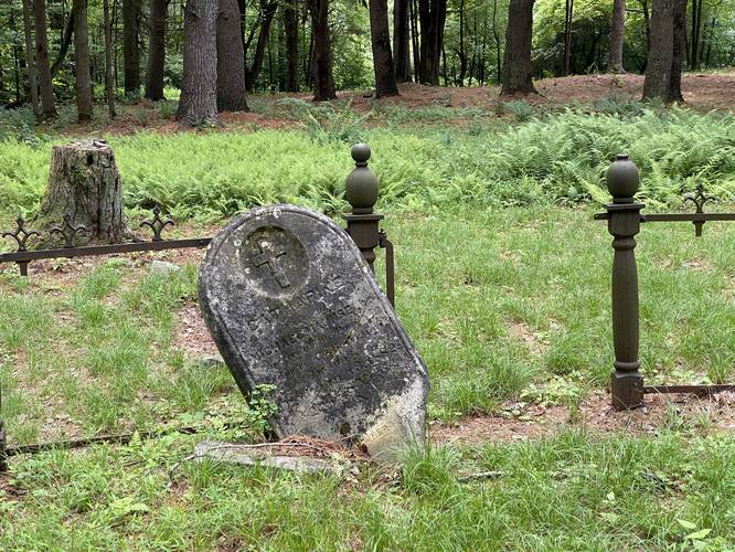
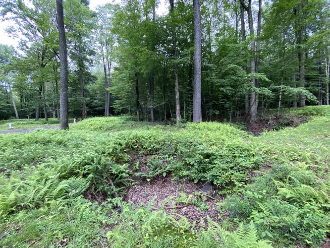
The Barclay Cemetery has suffered greatly over the decades from underground mining, neglect, and vandalism. Visitors today will find large sinkholes scattered throughout the cemetery - these are sinkholes created by collapsed mines, creating the depressions in the earth. This undermining was caused by unethical mining which became illegal under state law in 1937, but before then caused numerous graves to be disturbed. Active subsidence from that mine under the cemetery is still occurring today.
As of 2023, the cemetery is under the care of volunteer contributors who keep the place maintained; however, the cemetery is in a state of fragile repair, so please tread lightly when visiting.
Do not handle, sit, or climb on headstones, monuments, or fencing.
Parking
Visitors will find parking at the coordinates provided. The lot is large enough to fit a dozen vehicles or so.
Pets
Dogs are allowed if leashed and should be cleaned up after.
Warnings
Hunting: Hunting is permitted during specified open seasons. Wearing blaze orange is smart to avoid being shot.
Sinkholes: This cemetery is littered with sinkholes created by a long-closed coal mine. Undermining and sinking still occurrs even today, so stay out of the sinkholes for your own safety.
Walk Description
This is not a hike, but rather a short walk that leads down a forest road and out to the historic Barclay Cemetery. The Village of Barclay was a thriving coal-mining town starting in the 1860s - 1880s. By the 1890s the coal had run out and was no longer profitable, so the town collapsed. Life in Barclay was not easy as there were many outbreaks of smallpox and other diseases. The cemetery holds graves of many of the people that died in Barclay - many of which are children. The folks that died in Barclay, often died from disease or a mine accident; however, not all buried here died from either.
The Barclay Cemetery has suffered greatly over the decades from underground mining, neglect, and vandalism. Visitors today will find large sinkholes scattered throughout the cemetery - these are sinkholes created by collapsed mines, creating the depressions in the earth. This undermining was caused by unethical mining which became illegal under state law in 1937, but before then caused numerous graves to be disturbed. Active subsidence from that mine under the cemetery is still occurring today.
As of 2023, the cemetery is under the care of volunteer contributors who keep the place maintained; however, the cemetery is in a state of fragile repair, so please tread lightly when visiting.
Do not handle, sit, or climb on headstones, monuments, or fencing.
Parking
Visitors will find parking at the coordinates provided. The lot is large enough to fit a dozen vehicles or so.
Pets
Dogs are allowed if leashed and should be cleaned up after.
Warnings
Hunting: Hunting is permitted during specified open seasons. Wearing blaze orange is smart to avoid being shot.
Sinkholes: This cemetery is littered with sinkholes created by a long-closed coal mine. Undermining and sinking still occurrs even today, so stay out of the sinkholes for your own safety.