The Back Nine Trail to Pond hike at the Hyannis Ponds Wildlife Management Area in Barnstable, Massachusetts is an easy 1-mile out-and-back hike that leads to a view of a small kettle hole pond.
Hike Description
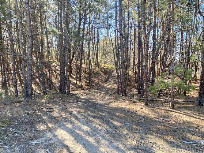
This hike begins at a small parking area and heads in on the main trail that leads into the Hyannis Ponds Wildlife Management Area. The trail follows a sandy substrate and leads through a forest filled predominantly with pine trees.
Right-Hand Turn to Back Nine Trail - Mile 0.13
Around mile 0.13, hikers will notice a small unmarked right-hand turn. Take this trail, this is the Back Nine Trail. The Back Nine Trail runs adjacent to the service road, but provides a lot more shade for hikers. Follow this trail for approximately 0.3-miles to reach another right-hand turn.
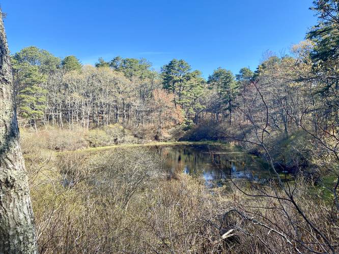
Pond View - Mile 0.5
After taking the next right-hand turn on the Back Nine Trail, hikers will reach a small campsite that sits adjacent to a nice view of one of the small kettle hole ponds.
Parking
Hikers will find a very small parking area at the coordinates provided, located off of Mary Dunn Road. The turnout is large enough to fit just a couple of vehicles.
Pets
Dogs are allowed if leashed and must be cleaned up after.
Hike Description
This hike begins at a small parking area and heads in on the main trail that leads into the Hyannis Ponds Wildlife Management Area. The trail follows a sandy substrate and leads through a forest filled predominantly with pine trees.
Right-Hand Turn to Back Nine Trail - Mile 0.13
Around mile 0.13, hikers will notice a small unmarked right-hand turn. Take this trail, this is the Back Nine Trail. The Back Nine Trail runs adjacent to the service road, but provides a lot more shade for hikers. Follow this trail for approximately 0.3-miles to reach another right-hand turn.
Pond View - Mile 0.5
After taking the next right-hand turn on the Back Nine Trail, hikers will reach a small campsite that sits adjacent to a nice view of one of the small kettle hole ponds.
Parking
Hikers will find a very small parking area at the coordinates provided, located off of Mary Dunn Road. The turnout is large enough to fit just a couple of vehicles.
Pets
Dogs are allowed if leashed and must be cleaned up after.