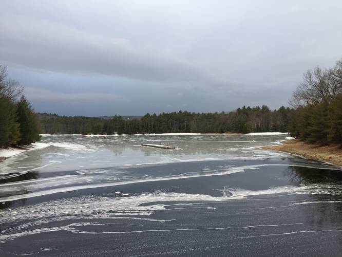
1.5 mi Easy Loop Add to Trailmix: Log in to create a Trailmix What are Trailmixes? Federal St Trail Belchertown, Massachusetts 0
4.4 mi Moderate Out-and-Back Add to Trailmix: Log in to create a Trailmix What are Trailmixes? Taylor Notch via M & M trail Hadley, Massachusetts 0
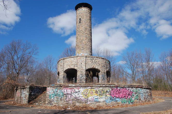
1.8 mi Easy Out-and-Back Add to Trailmix: Log in to create a Trailmix What are Trailmixes? Scott Tower Trail Holyoke, Massachusetts 0
2.0 mi Easy Loop Add to Trailmix: Log in to create a Trailmix What are Trailmixes? Mt Warner - Salamander Loop Trail Hadley, Massachusetts 0
2.5 mi Easy Out-and-Back Add to Trailmix: Log in to create a Trailmix What are Trailmixes? Gate 31 New Salem, Massachusetts 0
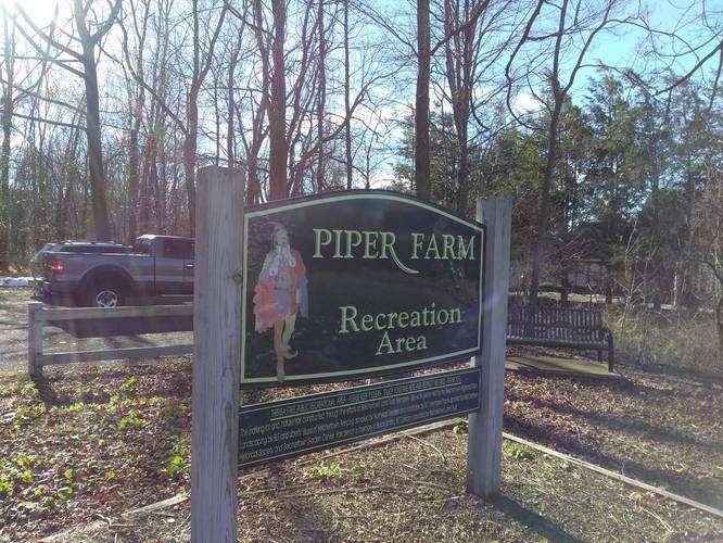
0.7 mi Easy Loop Add to Trailmix: Log in to create a Trailmix What are Trailmixes? Piper Farm Loop Trail Belchertown, Massachusetts 0
0.8 mi Easy Loop Add to Trailmix: Log in to create a Trailmix What are Trailmixes? Wentworth Farm Loop Amherst, Massachusetts 0
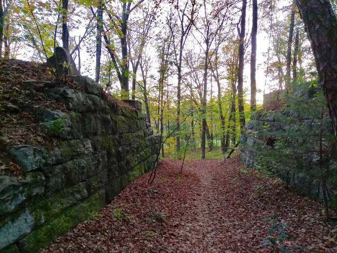
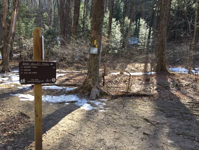
2.1 mi Moderate Loop Add to Trailmix: Log in to create a Trailmix What are Trailmixes? Bray Loop Trail Holyoke, Massachusetts 0
1.0 mi Easy Loop Add to Trailmix: Log in to create a Trailmix What are Trailmixes? Mill River Conservation Area Loop Amherst, Massachusetts 0
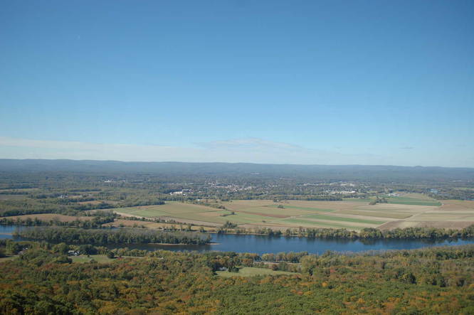
2.0 mi Moderate Out-and-Back Add to Trailmix: Log in to create a Trailmix What are Trailmixes? Mount Holyoke Hadley, Massachusetts 0
1.0 mi Easy Loop Add to Trailmix: Log in to create a Trailmix What are Trailmixes? Granby Sand Plain State Park Granby, Massachusetts 0
1.3 mi Easy Loop Add to Trailmix: Log in to create a Trailmix What are Trailmixes? Aldrich Lake Loop Trail Granby, Massachusetts 0