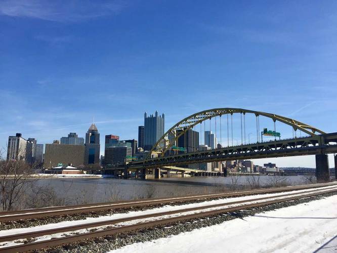
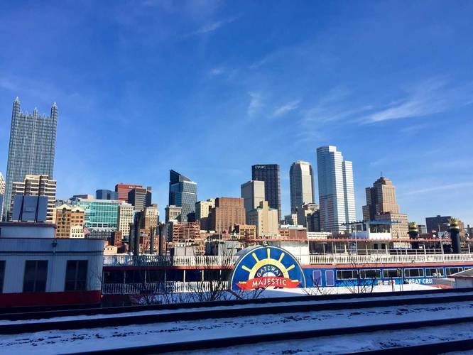
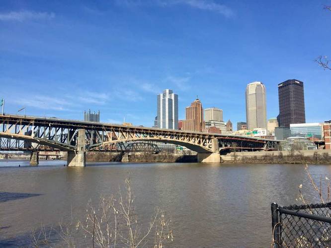
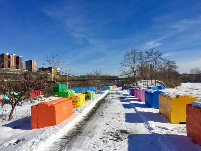
The Station Square Trail in Pittsburgh, Pennsylvania is a popular and easy 3.8 mile trail that runs along the south shores of the Monongahela River with views of downtown and Mount Washington. The trail is technically part of the Three Rivers Heritage Trail system and continues beyond the end of this section to run along the South Side portion of the TRHT before connecting to the Great Allegheny Passage trail. This track starts at the parking lot for the Duquesne Incline and ends just beyond where the South Side trail starts near S 4th Street.
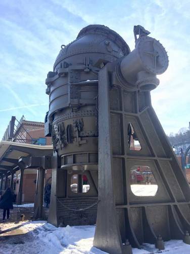
Just before reaching the Smithfield Street Bridge, the trail passes Clinton Furnace - Pittsburgh's first successful pig iron furnace. Operations began in 1859 near this area, using Connellsville coke as fuel. The furnace's technology lead to more advanced technologies, like the blast furnace, capable of producing huge amounts of iron. Clinton Furnace played an important role in establishing Pittsburgh's dominance in iron and steel production, but its operations ended in 1927.
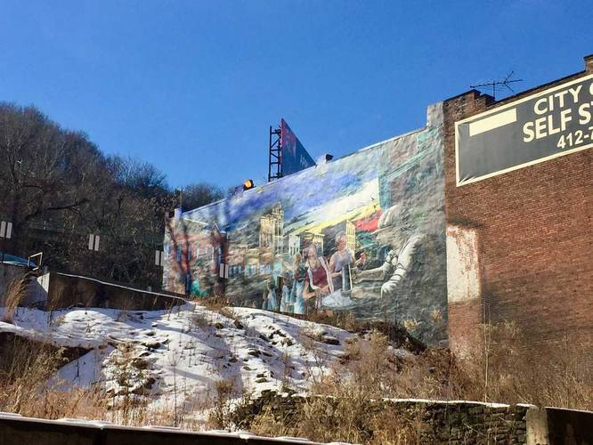
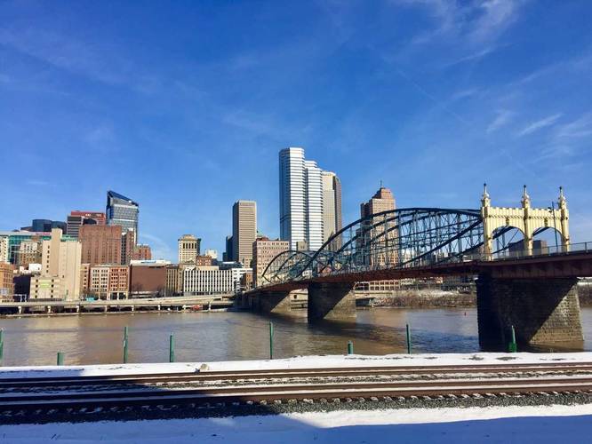
Sights: Downtown Pittsburgh, Mount Washington, Smithfield Street Bridge, Liberty Bridge, Liberty Tunnel, Clinton Furnace.
Important Detour Note: Near the portion of the trail where you reach Smithfield Street Bridge the trail is blocked off and rerouted due to construction. Once you reach the bridge, climb the stairs and walk down the street towards West Carson Street. Cross the street and continue walking through the main parking lot. Follow signs with arrows that say "River Trail Detour" until you reach S 4th Street. Follow S 4th Street all the way to the water where the trail picks back up again and turns into the South Side portion of the Three Rivers Heritage Trail. Once construction has been completed, this GPS track will be updated to include the proper trail in this section and not the detour.
Parking & Fees: Parking can be found at various points along this trail, but parking is not free. 0 - 2 hours is $5 with extra charges for additional hours. For more parking areas, check out this TRHT trail map PDF.
Just before reaching the Smithfield Street Bridge, the trail passes Clinton Furnace - Pittsburgh's first successful pig iron furnace. Operations began in 1859 near this area, using Connellsville coke as fuel. The furnace's technology lead to more advanced technologies, like the blast furnace, capable of producing huge amounts of iron. Clinton Furnace played an important role in establishing Pittsburgh's dominance in iron and steel production, but its operations ended in 1927.
Sights: Downtown Pittsburgh, Mount Washington, Smithfield Street Bridge, Liberty Bridge, Liberty Tunnel, Clinton Furnace.
Important Detour Note: Near the portion of the trail where you reach Smithfield Street Bridge the trail is blocked off and rerouted due to construction. Once you reach the bridge, climb the stairs and walk down the street towards West Carson Street. Cross the street and continue walking through the main parking lot. Follow signs with arrows that say "River Trail Detour" until you reach S 4th Street. Follow S 4th Street all the way to the water where the trail picks back up again and turns into the South Side portion of the Three Rivers Heritage Trail. Once construction has been completed, this GPS track will be updated to include the proper trail in this section and not the detour.
Parking & Fees: Parking can be found at various points along this trail, but parking is not free. 0 - 2 hours is $5 with extra charges for additional hours. For more parking areas, check out this TRHT trail map PDF.