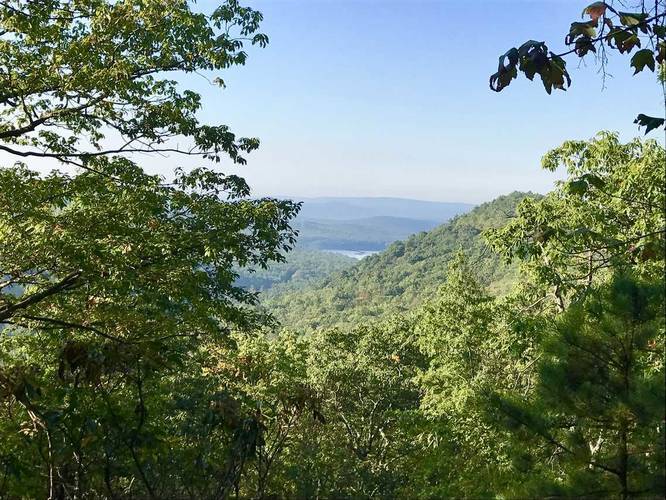
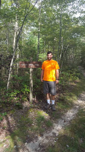
The Rocky Knob Trail at Michaux State Forest in Pennsylvania is a moderate 5.5 mile loop hike that has some amazing views of Pennsylvania's Appalachian mountains while being tucked away in the secluded Michaux forest. The trail's traffic is very light even though it's one of the popular trails at Michaux.
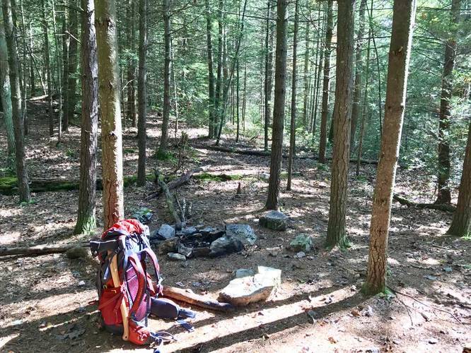
The trail has two trailheads, but it only has parking at the northern trailhead, so it's easiest to start there and hike down. Follow the orange blazes and you'll find your way easily. The trail splits off into two directions while heading south. If you take a right-hand turn at the loop, you'll hike downhill along a creek before reaching the southern spur of the Rocky Knob Trail; however, the creek is not visible from the trail and is not easy to hear it either. If you camp along the west side of the loop you can use the creek as a water source to refill and filter.
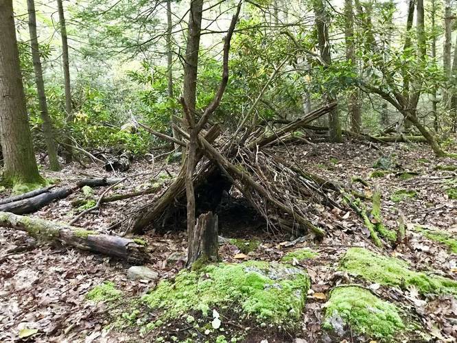
If you take a left at the loop (going east), there is no water source, but there are plenty of campsites and views along Seir Hill.
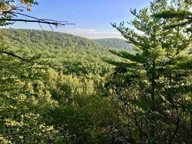
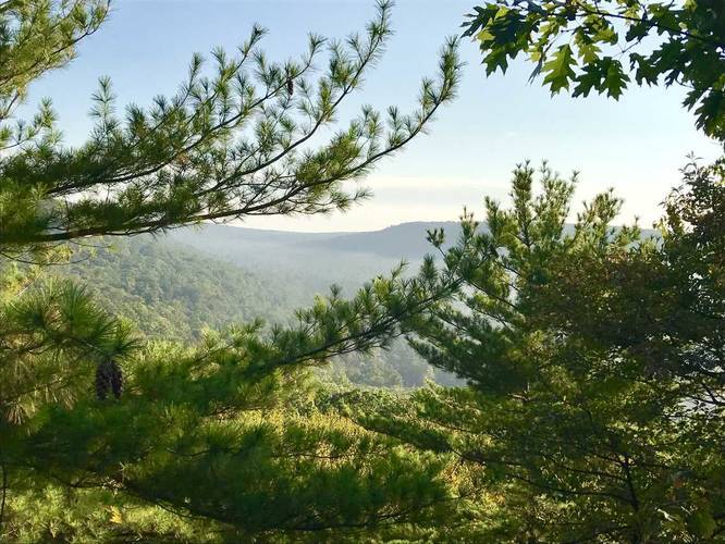
Sights: this trail has some of the best views of Michaux and the Long Pine Run Reservoir below. All of the lookout points are on the east side of the loop. You'll find numbered posts that represent a point of interest as well. At post #8 you'll see a large boulder field with an outcropping at the top with a view - this is actually Rocky Knob hill. You can climb the boulders to get up to the lookout point - note the random small spur trail off of the eastern side in the GPS data, this is Rocky Knob. At post #5 you'll find an amazing view of the reservoir and Rocky Knob to the south while standing on Seir Hill. At post #6 (or post #7, don't recall), you'll find an Allegheny Mound Ant hill - ants that are known to build mounds 3 - 4 feet tall and are only found in Pennsylvania's Appalachian regions.
Southern terminus: The southern terminus of the trail leads on to Birch Run Rd and across the street is the Beaver Trail that runs along the Long Pine Run Reservoir. If you're hiking in from the Beaver Trail or from Birch Run Rd, the trail may be hard to spot. To find it easily, walk along the guard rail along the road until you see a trail heading into the woods, just before the creek passes under the road - this is the Rocky Knob Trail.
The trail has two trailheads, but it only has parking at the northern trailhead, so it's easiest to start there and hike down. Follow the orange blazes and you'll find your way easily. The trail splits off into two directions while heading south. If you take a right-hand turn at the loop, you'll hike downhill along a creek before reaching the southern spur of the Rocky Knob Trail; however, the creek is not visible from the trail and is not easy to hear it either. If you camp along the west side of the loop you can use the creek as a water source to refill and filter.
If you take a left at the loop (going east), there is no water source, but there are plenty of campsites and views along Seir Hill.
Sights: this trail has some of the best views of Michaux and the Long Pine Run Reservoir below. All of the lookout points are on the east side of the loop. You'll find numbered posts that represent a point of interest as well. At post #8 you'll see a large boulder field with an outcropping at the top with a view - this is actually Rocky Knob hill. You can climb the boulders to get up to the lookout point - note the random small spur trail off of the eastern side in the GPS data, this is Rocky Knob. At post #5 you'll find an amazing view of the reservoir and Rocky Knob to the south while standing on Seir Hill. At post #6 (or post #7, don't recall), you'll find an Allegheny Mound Ant hill - ants that are known to build mounds 3 - 4 feet tall and are only found in Pennsylvania's Appalachian regions.
Southern terminus: The southern terminus of the trail leads on to Birch Run Rd and across the street is the Beaver Trail that runs along the Long Pine Run Reservoir. If you're hiking in from the Beaver Trail or from Birch Run Rd, the trail may be hard to spot. To find it easily, walk along the guard rail along the road until you see a trail heading into the woods, just before the creek passes under the road - this is the Rocky Knob Trail.