Phins Trail Photo Gallery

Vista from Upper Perch Rock

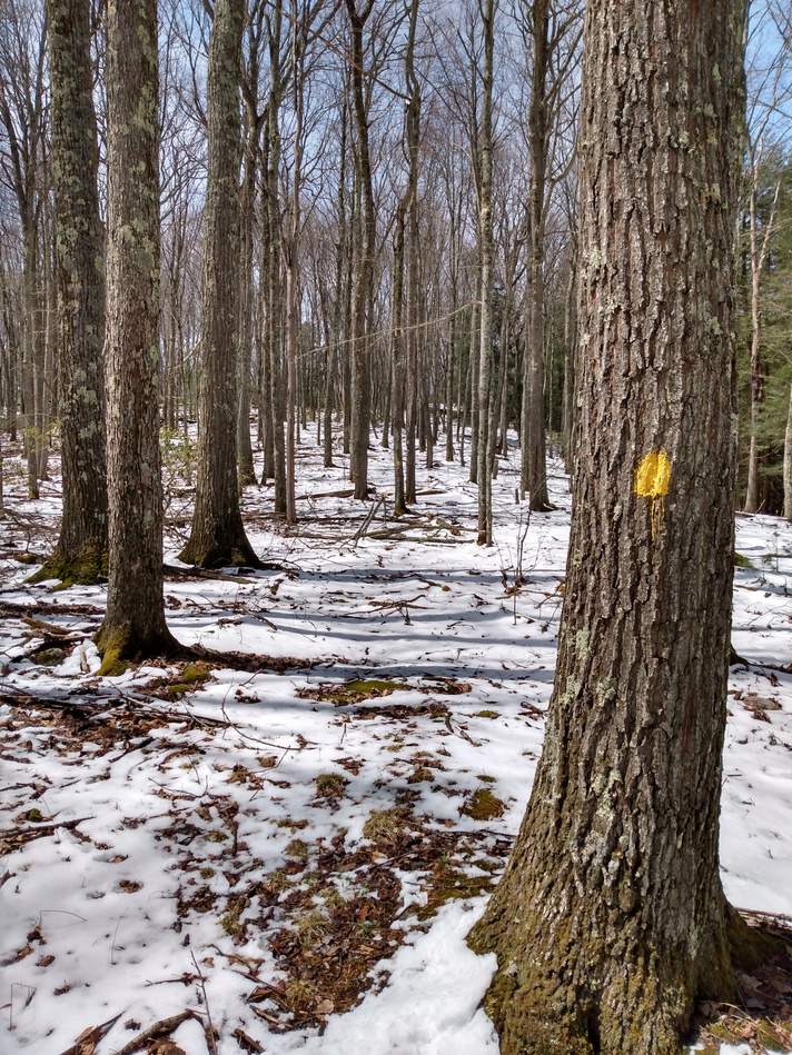
First Switch Back

Park Area with Map Kiosk

Trail Head at PA-872

Obstructed Vista on Switchback Trail

Rock Face

Rock Outcroppings near Ridgeline

Chimney Rock

Rock Face at Ridgelilne

Obstructed View at Lower Perch Rock


Trail Along Ridgeline

Upper Perch Rock

Trail Along Ridgeline

Vista from Upper Perch Rock

Vista from Upper Perch Rock

Trail Along Ridgeline

Trail Along Ridgeline

Obstructed View Along Ridgeline

Obstructed View Along Ridgeline

Thick Mountain Laurel Grove

Lushbaugh Trail Junction

Upper Lushbaugh Trail

Upper Lushbaugh Trail

Scramble Upper Lushbaugh Trail

Scramble Upper Lushbaugh Trail

Scramble Upper Lushbaugh Trail

Scramble Upper Lushbaugh Trail

Mid Lushbaugh Trail

Small Waterfall on Lushbaugh Trail

Lower Lushbaugh Trail

Lower Lushbaugh Trail

Brooks Run Ranger House


Brooks Forest Ranger House

Brooks Run

Lushbaugh Trailhead on Brooks Run Road


