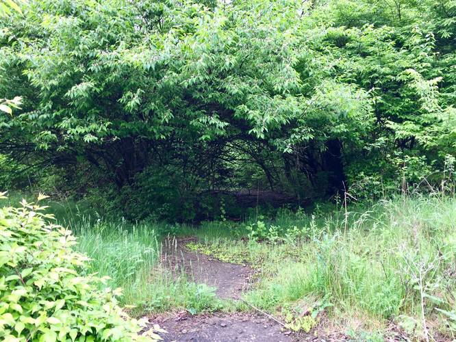
The Glen Hazel Trail (Rivermont Drive) in Pittsburgh, Pennsylvania is an easy 0.7-mile out-and-back trail that leads to an old abandoned neighborhood. The trail is an old overgrown road that follows the abandoned portion of Rivermont Drive in the city and sits high above the Hazelwood neighborhood. This is an excellent trail for urban exploration in Pittsburgh.
Rivermont Drive is a very short street with a few houses on it. At the end of the street is a cement barricade that blocks motor vehicles from driving down the condemned portion of the street. This recording is about 0.4-miles long (one-way) and runs from the barricade to just beyond the cul-de-sac at the end of the road. The trail technically follows the powerlines down the hill all the way to 2nd Ave and the Glenwood Bridge, but we did not follow the entire trail.
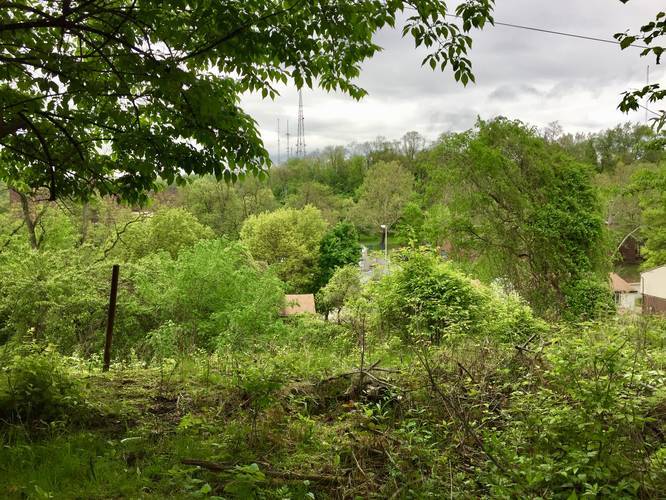
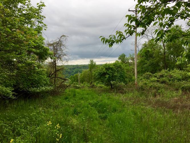
Views: There are a couple of spots along the trail with views facing north towards the Hazelwood Greenway. Unfortunately, there are no views of the Monongahela River.
Caution: There's plenty of broken glass, ceramics, and other random broken objects. Dogs are allowed here, but be cautious of where you allow them to walk. Also wearing proper footwear is recommended.
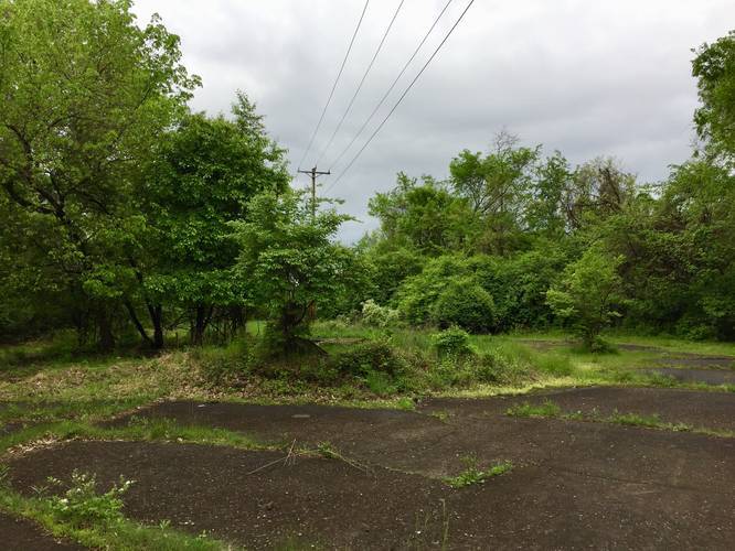
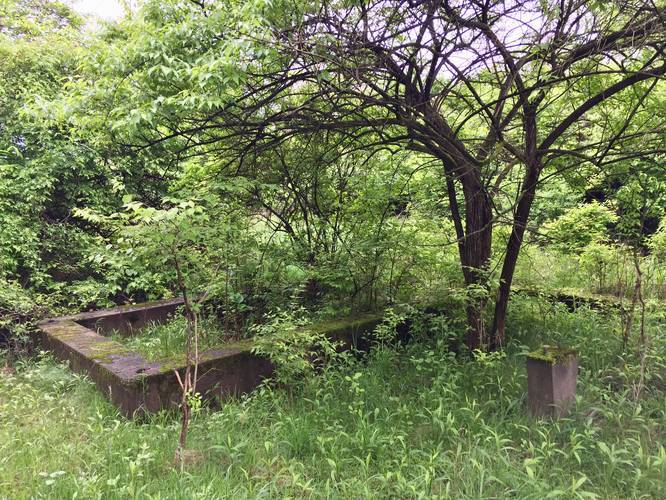
History: Following a geological survey, the area was deemed unfit for habitation due to undermining. The buildings were razed and people moved out; however, the city has yet to find a use for the area since. Today all that remains is an overgrown street, broken cement and concrete slabs, building foundations, old driveways, and a skinny trail that follows the powerlines down the slopes to Hazelwood - if you wish to hike it.
Surveillance: Some residents along Rivermont Drive have surveillance cameras setup to monitor the street and trail -- likely for good reasons considering the abandoned area of woods next to their houses or maybe just out of paranoia. Please be considerate of the residents and the surrounding neighborhood when exploring.
Rivermont Drive is a very short street with a few houses on it. At the end of the street is a cement barricade that blocks motor vehicles from driving down the condemned portion of the street. This recording is about 0.4-miles long (one-way) and runs from the barricade to just beyond the cul-de-sac at the end of the road. The trail technically follows the powerlines down the hill all the way to 2nd Ave and the Glenwood Bridge, but we did not follow the entire trail.
Views: There are a couple of spots along the trail with views facing north towards the Hazelwood Greenway. Unfortunately, there are no views of the Monongahela River.
Caution: There's plenty of broken glass, ceramics, and other random broken objects. Dogs are allowed here, but be cautious of where you allow them to walk. Also wearing proper footwear is recommended.
History: Following a geological survey, the area was deemed unfit for habitation due to undermining. The buildings were razed and people moved out; however, the city has yet to find a use for the area since. Today all that remains is an overgrown street, broken cement and concrete slabs, building foundations, old driveways, and a skinny trail that follows the powerlines down the slopes to Hazelwood - if you wish to hike it.
Surveillance: Some residents along Rivermont Drive have surveillance cameras setup to monitor the street and trail -- likely for good reasons considering the abandoned area of woods next to their houses or maybe just out of paranoia. Please be considerate of the residents and the surrounding neighborhood when exploring.