Exploring the unmarked Double Barrel Hollow near Austin, Pennsylvania is the trace of this hike, which is a 4.1-mile loop within Elk State Forest.
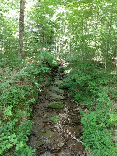
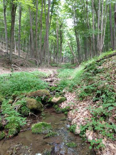
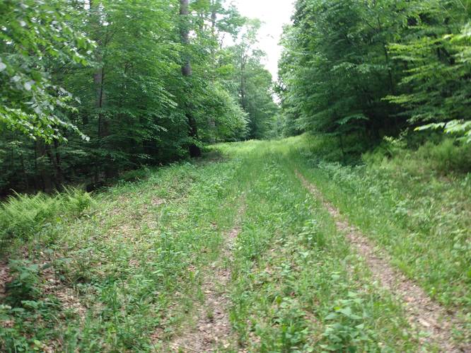
A pre-hike look at the topographic map for this area revealed the arrangement of the natural physical features named "Double Barrel Hollow" which sure caught my eye. This geography has a west valley draft "or barrel" and an east valley draft "or barrel", both running more or less in a northerly direction from a common point along the East Cowley Run Road. This allowed for a loop trail made by following the east barrel up stream to the logging roads at the summit connecting the heads of both barrels, and then returning on the west barrel back down stream to same East Cowley Run Road trailhead. Even though this trek was technically unmarked, the path that was easily followed by using the small stream beds that sat in valleys or barrels. Simply put, the hiker followed the topography up and back on the double barrel branches.
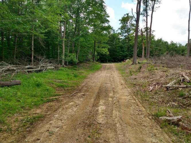
The trail along the Double Barrel Hollow is a moderate walk, with a continuous gradual steepness for the 2.5 mile ascent up the east valley draft "or barrel". The summit has large clear cuts that are "un-hike-able" but the logging roads can be followed and hiked on. At the top of the Double Barrel Hollow ascent turn left on the unmarked state forest logging roads at the summit. Follow these roads for about a mile along the top ridge. Read your map, and look for the downward east valley draft "or barrel" along the way and follow that barrel back to the East Cowley Run Road trailhead.
Trails
The trails hiked along this route include the unmarked Double Barrel Hollow Trails and unnamed state forest logging road at the head of Double Barrel Hollow.
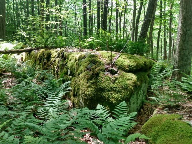
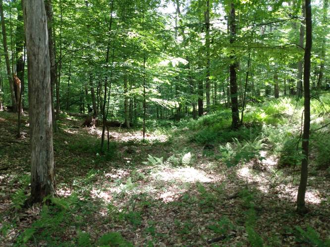
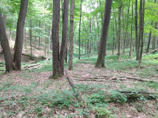
This trek has scenic forest glens with small water flows and the possibility of over-night camping stays.
Length and Difficulty
The difficulty should still be considered moderate because of the elevation gain along the path. Also, some experience hiking on unmarked trails is needed and how to traverse terrain using topographic maps.
On occasion, you might hear yourself ask “Are we lost?” as the branches brush across your face. Don't panic, but learn to read the map and the terrain as you go.
Parking
Hikers can find parking at the coordinates provided; next to the trailhead, along East Cowley Run Road.
Pets
Dogs are allowed if leashed. It might be best to leave your furry friend at home because of several creek crossings and the need to scale across a number of blowdowns and the fact that the unmarked and uneven terrain will need your full attention during the hike.
Camping and Backpacking
Backpackers are allowed to camp off-trail only within the Elk State Forest section of this route. Backpackers need to follow the state forest rules and regulations for dispersed / primitive / backcountry camping.
Water Source
Hikers can use water filters along the adjacent creeks along this hike at the lower elevations.
Water - This may seem obvious, but because you are on a mountain top, there are very limited water options. You need to bring adequate amounts of water with you to the summit. Bringing more than you think you will need; you will often find it’s the right amount.
Warnings
Unmarked Trails: Since the trails and logging roads in this area are unmarked, it is important to use a detailed topographic map that does more than just show how to get from A to B. It enables the hiker to form a mental picture of the terrain which the hiker will be traversing.
Creek crossings: This trek requires the hiker to cross creeks several times. Come prepared with the proper footwear and gear for when crossing the Double Barrel Hollow branches especially during the Spring.
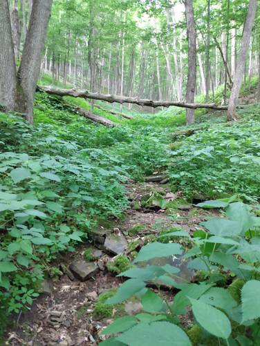
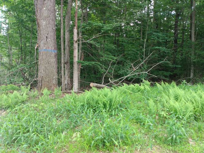
Blowdowns: Some trail problems of concern to hikers including blowdowns on the paths on steep slope hillsides.
Stinging Nettles: These paths have large patches of Stinging Nettles. Both the stems and the leaves of stinging nettles are covered by structures that look like hairs. These “hairs” act like needles when they come into contact with the skin. Chemicals flow through them into the skin, which causes a stinging sensation and a rash. Wear long pants, and don't touch the Stinging Nettles.
A pre-hike look at the topographic map for this area revealed the arrangement of the natural physical features named "Double Barrel Hollow" which sure caught my eye. This geography has a west valley draft "or barrel" and an east valley draft "or barrel", both running more or less in a northerly direction from a common point along the East Cowley Run Road. This allowed for a loop trail made by following the east barrel up stream to the logging roads at the summit connecting the heads of both barrels, and then returning on the west barrel back down stream to same East Cowley Run Road trailhead. Even though this trek was technically unmarked, the path that was easily followed by using the small stream beds that sat in valleys or barrels. Simply put, the hiker followed the topography up and back on the double barrel branches.
The trail along the Double Barrel Hollow is a moderate walk, with a continuous gradual steepness for the 2.5 mile ascent up the east valley draft "or barrel". The summit has large clear cuts that are "un-hike-able" but the logging roads can be followed and hiked on. At the top of the Double Barrel Hollow ascent turn left on the unmarked state forest logging roads at the summit. Follow these roads for about a mile along the top ridge. Read your map, and look for the downward east valley draft "or barrel" along the way and follow that barrel back to the East Cowley Run Road trailhead.
Trails
The trails hiked along this route include the unmarked Double Barrel Hollow Trails and unnamed state forest logging road at the head of Double Barrel Hollow.
This trek has scenic forest glens with small water flows and the possibility of over-night camping stays.
Length and Difficulty
The difficulty should still be considered moderate because of the elevation gain along the path. Also, some experience hiking on unmarked trails is needed and how to traverse terrain using topographic maps.
On occasion, you might hear yourself ask “Are we lost?” as the branches brush across your face. Don't panic, but learn to read the map and the terrain as you go.
Parking
Hikers can find parking at the coordinates provided; next to the trailhead, along East Cowley Run Road.
Pets
Dogs are allowed if leashed. It might be best to leave your furry friend at home because of several creek crossings and the need to scale across a number of blowdowns and the fact that the unmarked and uneven terrain will need your full attention during the hike.
Camping and Backpacking
Backpackers are allowed to camp off-trail only within the Elk State Forest section of this route. Backpackers need to follow the state forest rules and regulations for dispersed / primitive / backcountry camping.
Water Source
Hikers can use water filters along the adjacent creeks along this hike at the lower elevations.
Water - This may seem obvious, but because you are on a mountain top, there are very limited water options. You need to bring adequate amounts of water with you to the summit. Bringing more than you think you will need; you will often find it’s the right amount.
Warnings
Unmarked Trails: Since the trails and logging roads in this area are unmarked, it is important to use a detailed topographic map that does more than just show how to get from A to B. It enables the hiker to form a mental picture of the terrain which the hiker will be traversing.
Creek crossings: This trek requires the hiker to cross creeks several times. Come prepared with the proper footwear and gear for when crossing the Double Barrel Hollow branches especially during the Spring.
Blowdowns: Some trail problems of concern to hikers including blowdowns on the paths on steep slope hillsides.
Stinging Nettles: These paths have large patches of Stinging Nettles. Both the stems and the leaves of stinging nettles are covered by structures that look like hairs. These “hairs” act like needles when they come into contact with the skin. Chemicals flow through them into the skin, which causes a stinging sensation and a rash. Wear long pants, and don't touch the Stinging Nettles.