The Red Creek Trail at Dolly Sods Wilderness in Laneville, West Virginia is a moderate 7.5 mile out-and-back trail that runs from the southern part of Dolly Sods up to the central area to the Blackbird Knob Trail (TR-511). Please note, the GPS data provided for this trail is not complete; we were not able to cross Red Creek to continue any more north than about 3.8 miles one-way, hence the 7.5 miles out-and-back. If you plan to hike the entire trail, you also need to plan to cross Red Creek - getting you and likely your gear wet. Red Creek is not very deep, but it varies depending on the time of year.
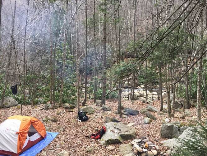
The trail starts on the southwestern corner of Dolly Sods and traverses the Red Creek. There are plenty of campsites along the way, starting fairly close to the trailhead. If you're looking for a short hike and a nice quiet creek-side campsite, this trail may be for you. The hike starts out flat for the first mile or so, but then quickly climbs the side of the nearest hill and does not flatten out until you get closer to the Red Creek crossing.
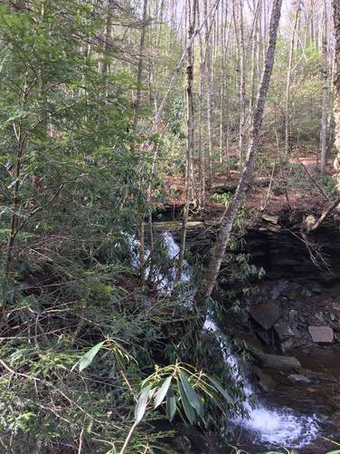
Waterfalls: Within the first 4 miles, hiking north, you'll find a couple of large waterfalls and a few smaller waterfalls along the way.
WWII Ammunition: Dolly Sods was used for bombing training back during WWII and there are still live rounds scattered throughout the wilderness. Dolly Sods is also a very popular backpacking spot and has been combed through by many people, so you're unlikely to find any ammunition rounds, but if you find any, take note of where it was - DO NOT TOUCH IT - and call authorities when you can.
Blazes: The trail is not blazed and can be slightly confusing. Follow stone cairns and the sign posts when available.
No biking allowed.
Dolly Sods trail map PDF
The trail starts on the southwestern corner of Dolly Sods and traverses the Red Creek. There are plenty of campsites along the way, starting fairly close to the trailhead. If you're looking for a short hike and a nice quiet creek-side campsite, this trail may be for you. The hike starts out flat for the first mile or so, but then quickly climbs the side of the nearest hill and does not flatten out until you get closer to the Red Creek crossing.
Waterfalls: Within the first 4 miles, hiking north, you'll find a couple of large waterfalls and a few smaller waterfalls along the way.
WWII Ammunition: Dolly Sods was used for bombing training back during WWII and there are still live rounds scattered throughout the wilderness. Dolly Sods is also a very popular backpacking spot and has been combed through by many people, so you're unlikely to find any ammunition rounds, but if you find any, take note of where it was - DO NOT TOUCH IT - and call authorities when you can.
Blazes: The trail is not blazed and can be slightly confusing. Follow stone cairns and the sign posts when available.
No biking allowed.
Dolly Sods trail map PDF