The Devil's Bathtub Trail at Mendon Ponds Park near Henrietta, New York is an easy 0.8-mile loop hike that features views of a kettle hole pond known as the Devil's Bathtub along with views of Deep Pond.
Hike Description
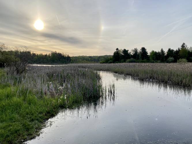
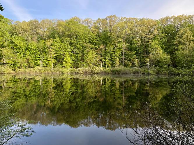
This hike begins just off of Pond Road at the coordinates provided, located at the southeastern trailhead for the Devil's Bathtub. First, hikers can step to the side of the parking lot to get a nice view of Deep Pond and the kame hills across the water before stepping on to the trail. Once on the trail, it'll run north along the western banks of Deep Pond, providing hikers with more views of Deep Pond and the kame hills. Hikers will pass one white blazed trail that cuts up the hillside (and is missing from the park map as of May 2023) - skip this trail and take the next left-hand turn. Once on the larger curve, the trail will turn left once again after about 0.1-miles to reach the western side of the Devil's Bathtub Trail.
Devil's Bathtub - Mile 0.5
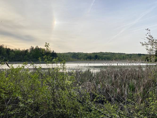
At mile 0.5, hikers will reach the banks of the Devil's Bathtub. The Devil's Bathtub is a kettle hole, formed long ago by glacial ice that calved off of a glacier, and buried itself in the ground. Over time the ice melted and left this deep depression in the earth, which now fills up with ground water. There's a nice wooden viewing platform that hikers can use to get a better view of the water too; however, it can be a bit buggy down in the Devil's Bathtub.
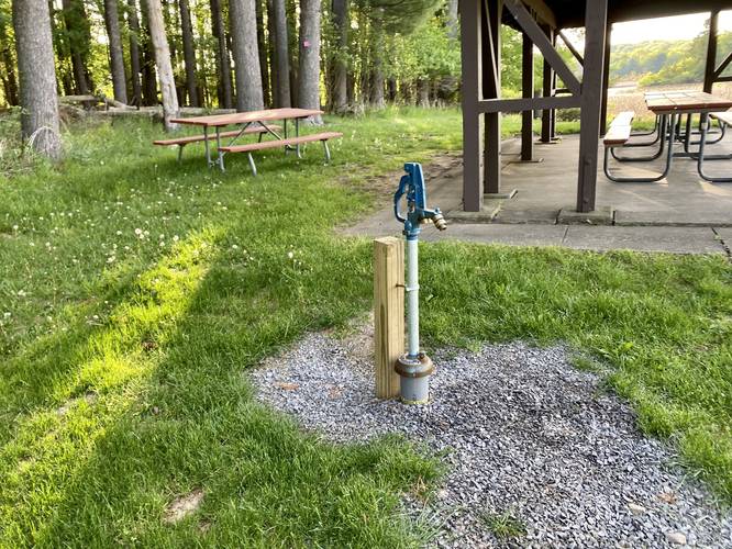
After visiting the kettle hole, hikers will have to walk up a steep series of stairs, at about 40-feet tall, to reach a large parking lot (which was gated-off on this hike). From the parking lot, hikers will head down the paved road to reach the bottom of the hill where you initially parked, adjacent to the pavilion to complete the hike at 0.8-miles.
Parking
Hikers will find a small parking lot at the coordinates provided just off of Pond Road. The lot is large enough for less than 6 vehicles. When the gate is open, hikers can find a larger parking lot almost next to the Devil's Bathtub, located on the paved road that leads up from Pond Road.
Pets
Dogs are allowed on this trail but must be leashed and cleaned up after.
Hike Description
This hike begins just off of Pond Road at the coordinates provided, located at the southeastern trailhead for the Devil's Bathtub. First, hikers can step to the side of the parking lot to get a nice view of Deep Pond and the kame hills across the water before stepping on to the trail. Once on the trail, it'll run north along the western banks of Deep Pond, providing hikers with more views of Deep Pond and the kame hills. Hikers will pass one white blazed trail that cuts up the hillside (and is missing from the park map as of May 2023) - skip this trail and take the next left-hand turn. Once on the larger curve, the trail will turn left once again after about 0.1-miles to reach the western side of the Devil's Bathtub Trail.
Devil's Bathtub - Mile 0.5
At mile 0.5, hikers will reach the banks of the Devil's Bathtub. The Devil's Bathtub is a kettle hole, formed long ago by glacial ice that calved off of a glacier, and buried itself in the ground. Over time the ice melted and left this deep depression in the earth, which now fills up with ground water. There's a nice wooden viewing platform that hikers can use to get a better view of the water too; however, it can be a bit buggy down in the Devil's Bathtub.
After visiting the kettle hole, hikers will have to walk up a steep series of stairs, at about 40-feet tall, to reach a large parking lot (which was gated-off on this hike). From the parking lot, hikers will head down the paved road to reach the bottom of the hill where you initially parked, adjacent to the pavilion to complete the hike at 0.8-miles.
Parking
Hikers will find a small parking lot at the coordinates provided just off of Pond Road. The lot is large enough for less than 6 vehicles. When the gate is open, hikers can find a larger parking lot almost next to the Devil's Bathtub, located on the paved road that leads up from Pond Road.
Pets
Dogs are allowed on this trail but must be leashed and cleaned up after.