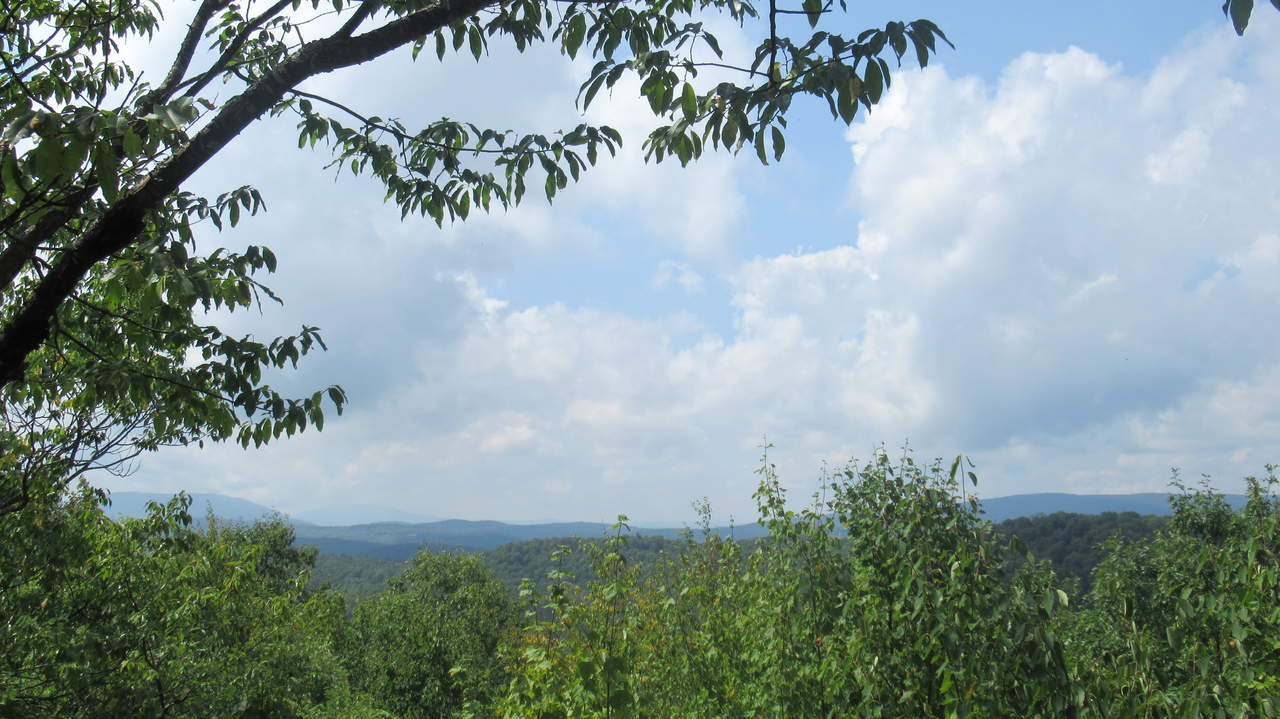
View from summit
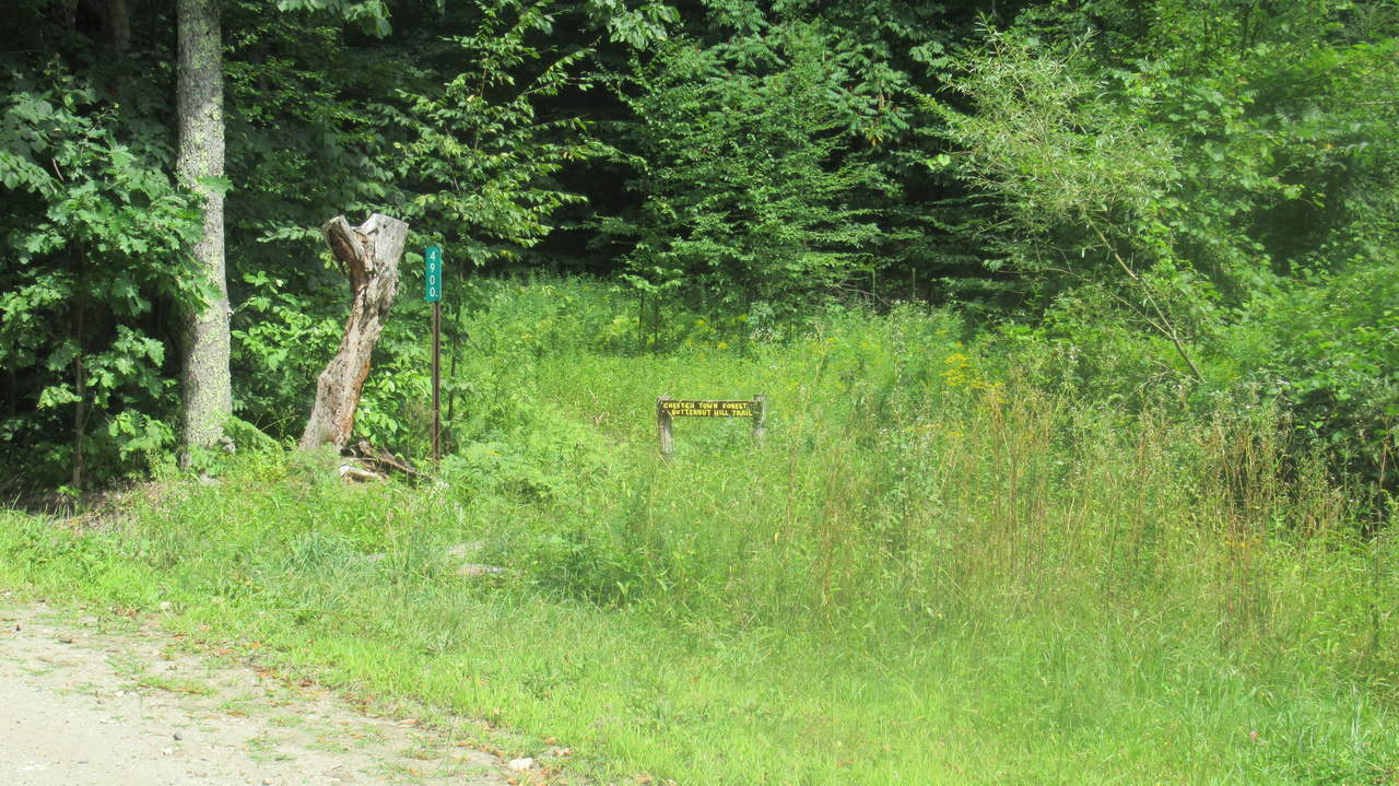
Very small sign at parking area for Chester Town Forest Butternut Hill Trail
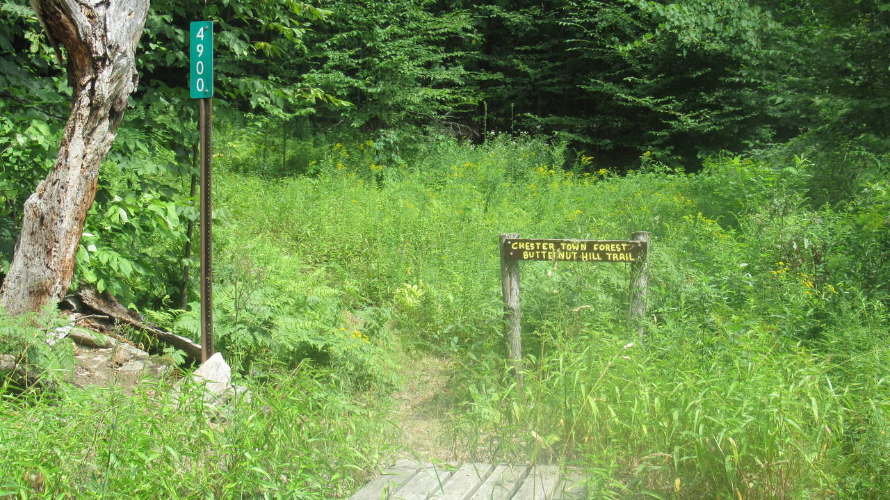
Road marker at 4900 Lovers Lane Road
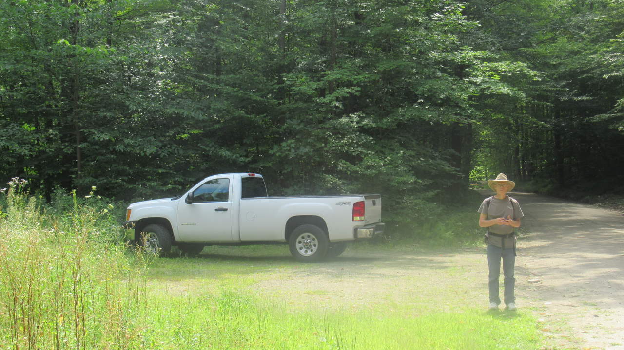
Parking area near trailhead
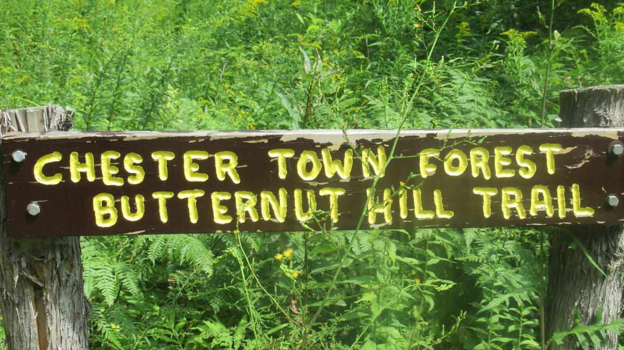
Trailhead Sign
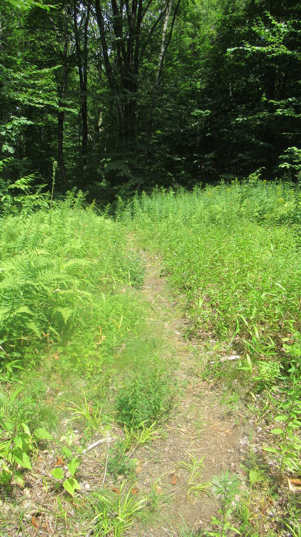
Trail substrate
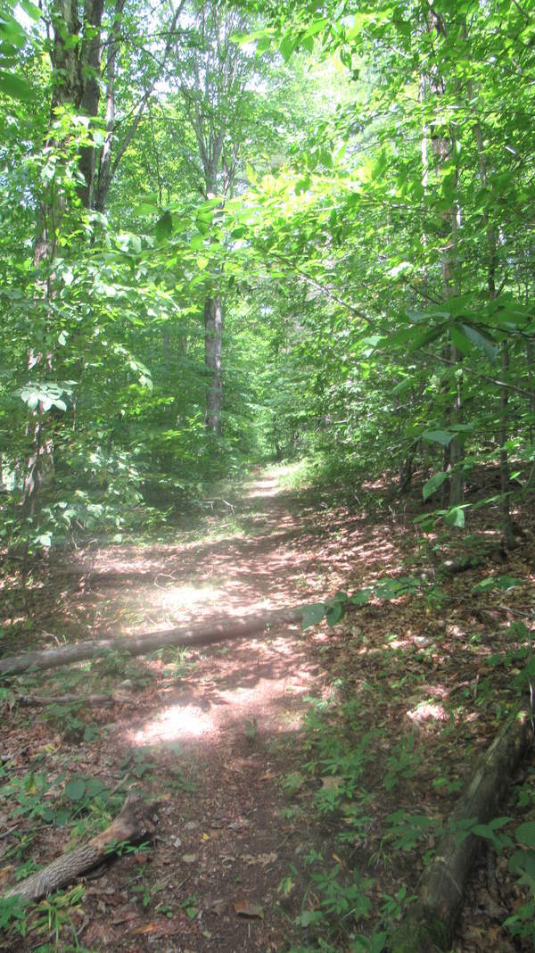
Trail substrate
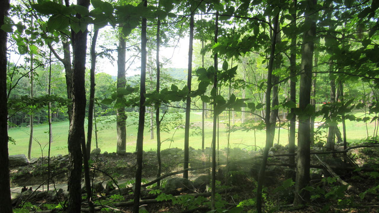
Trail runs beside Lovers Lane Road
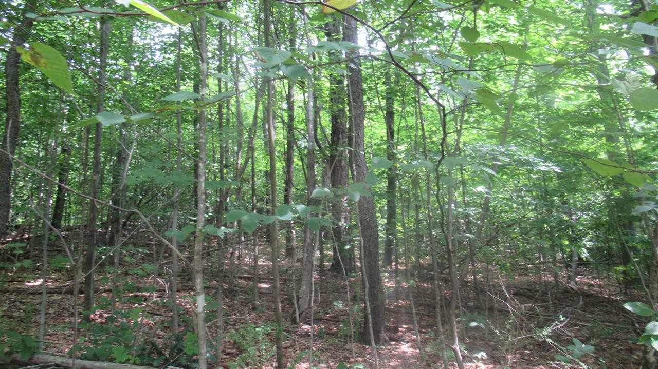
Trail heads up
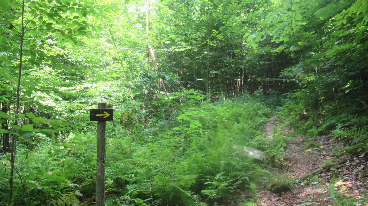
Trail Sign points the way
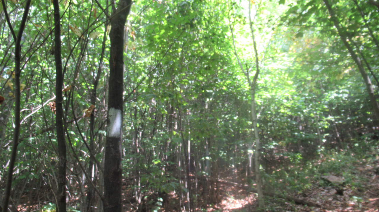
White Trail Blaze marker on tree
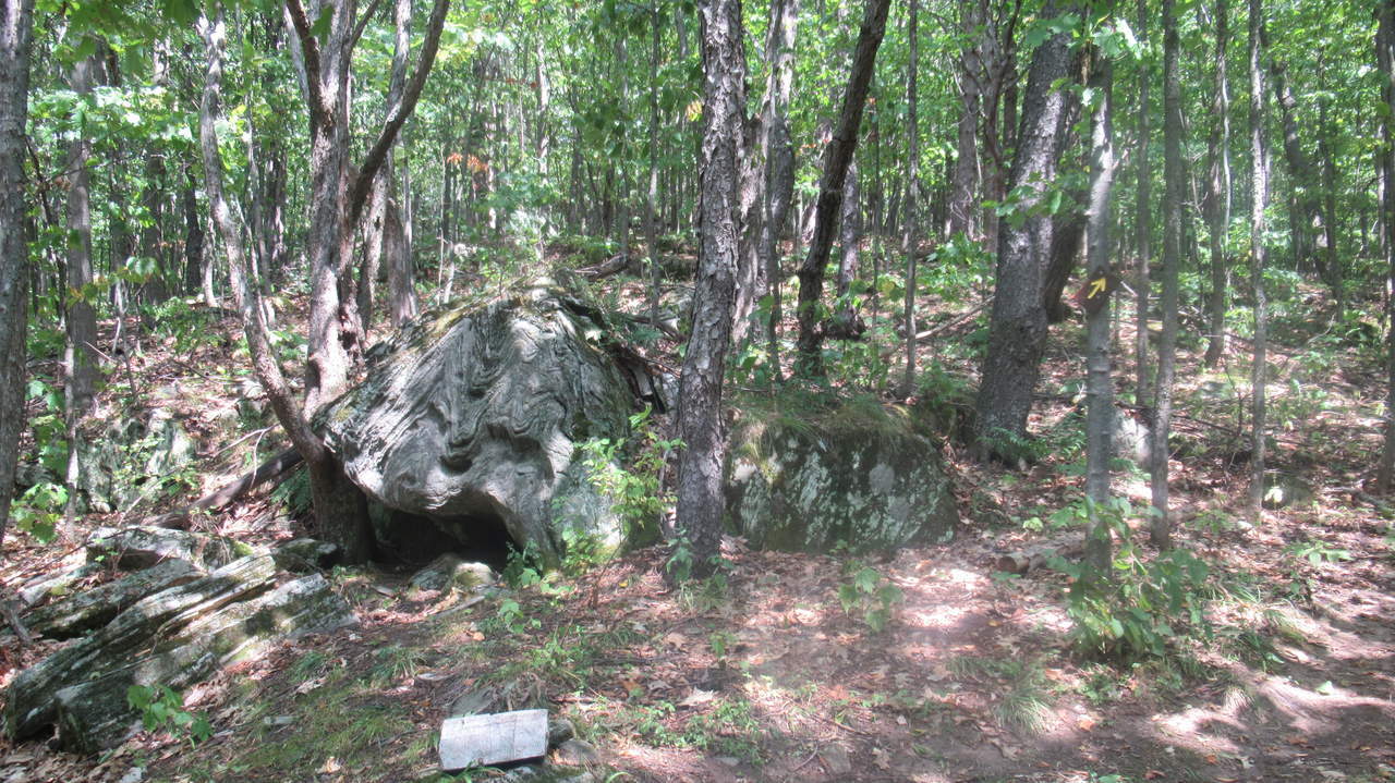
Unusual Rock formation along trail
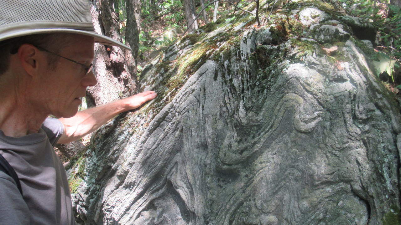
Close up of rock formation
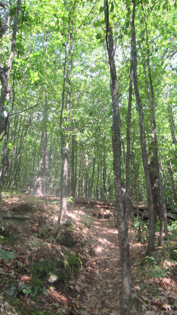
Trail continues uphill
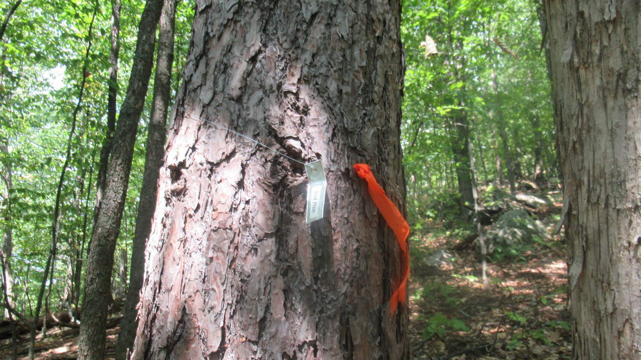
Trees are identified for education
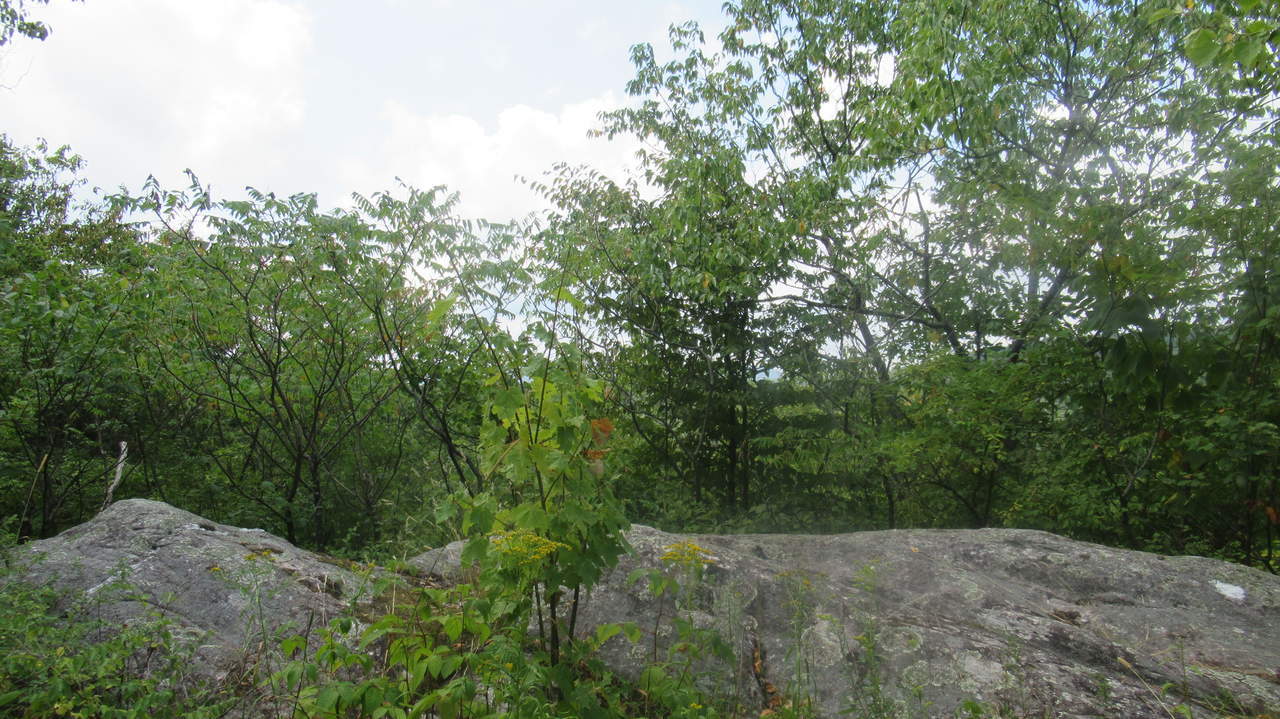
Rocky substate close to the summit
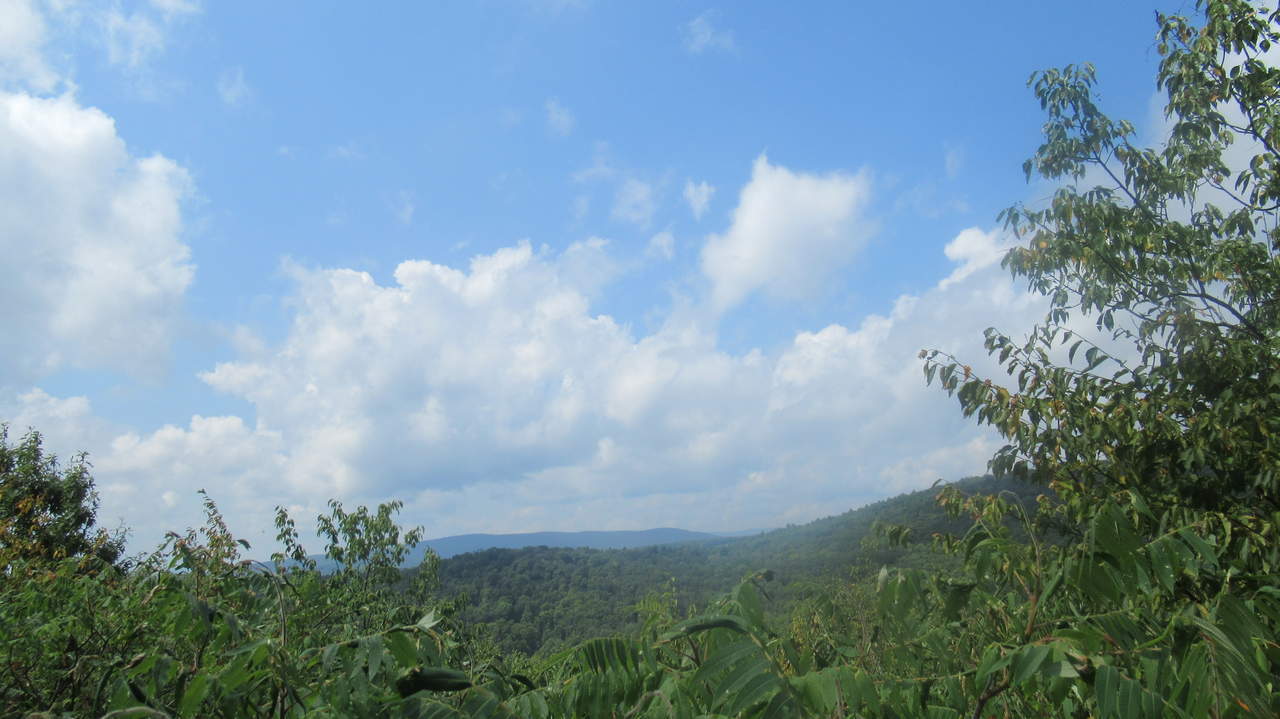
Beautiful Vista
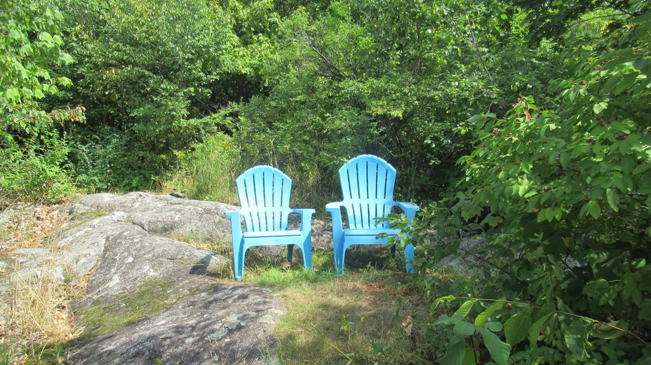
Adirondack Chairs for resting
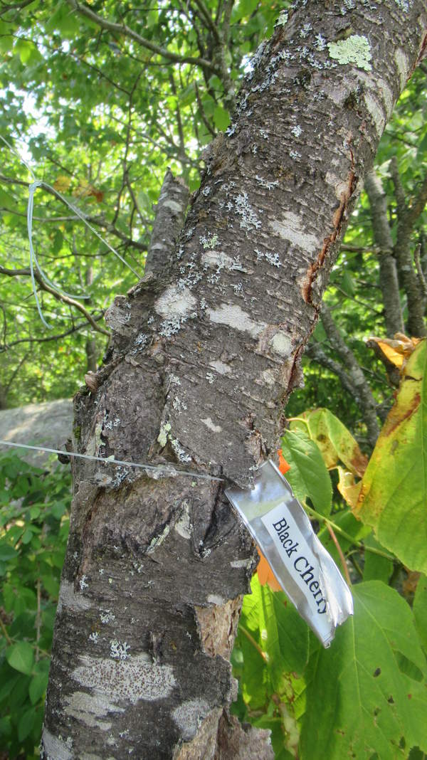
Trees are identified for education
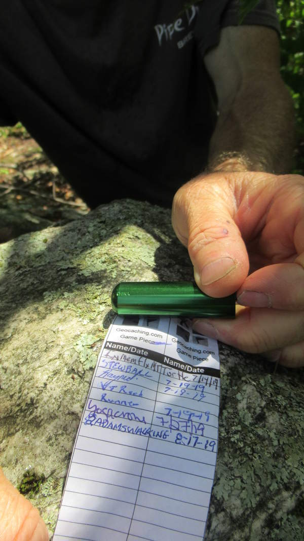
Fun geocache near summit
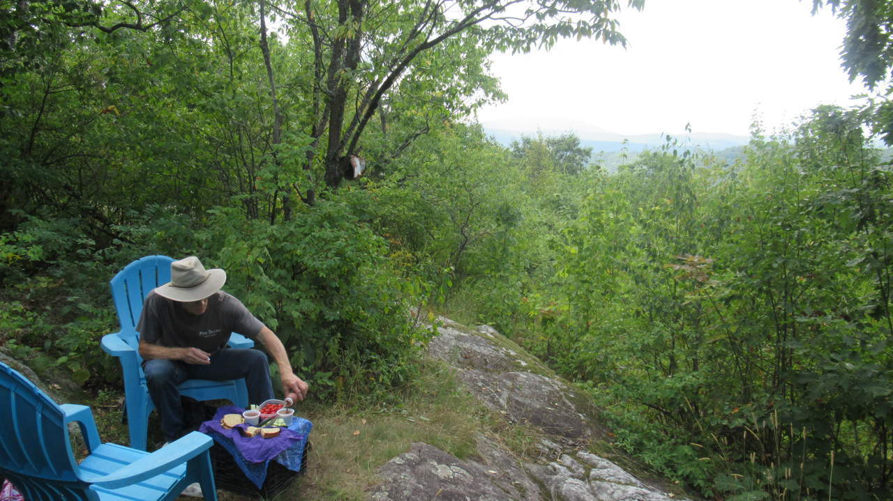
Great place for a picnic
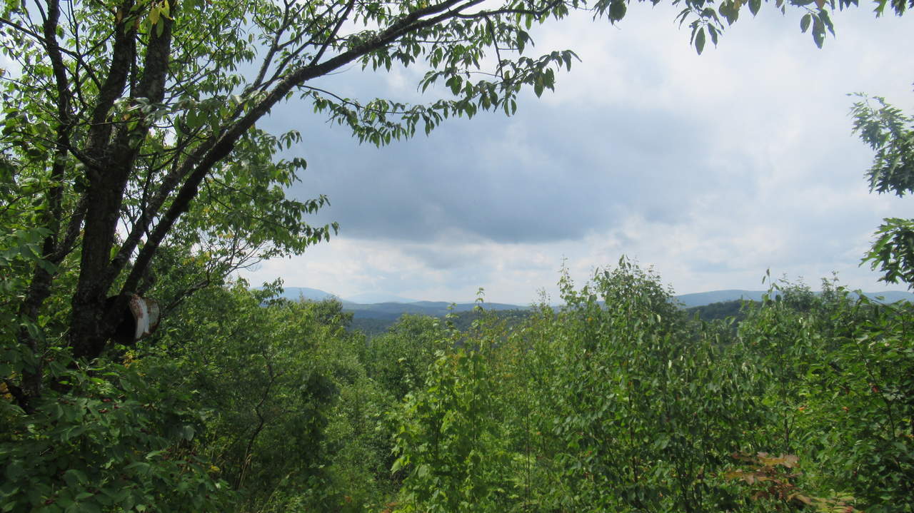
Beautiful Vista
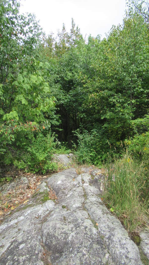
Trail exits summit to forest trail
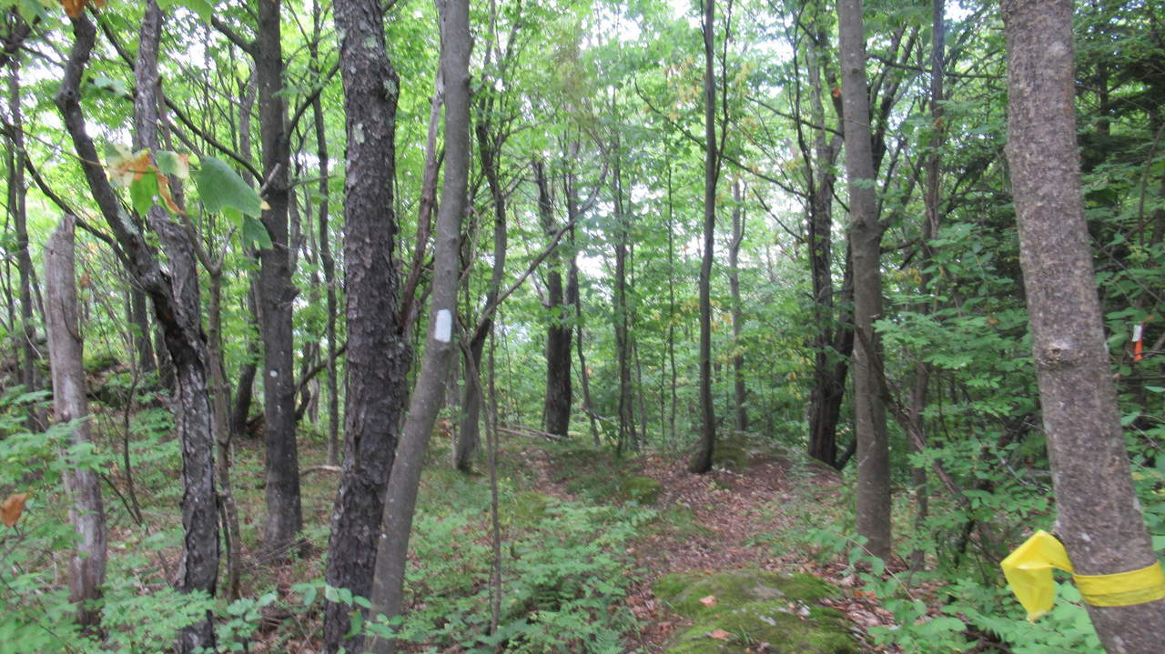
Trail substrate
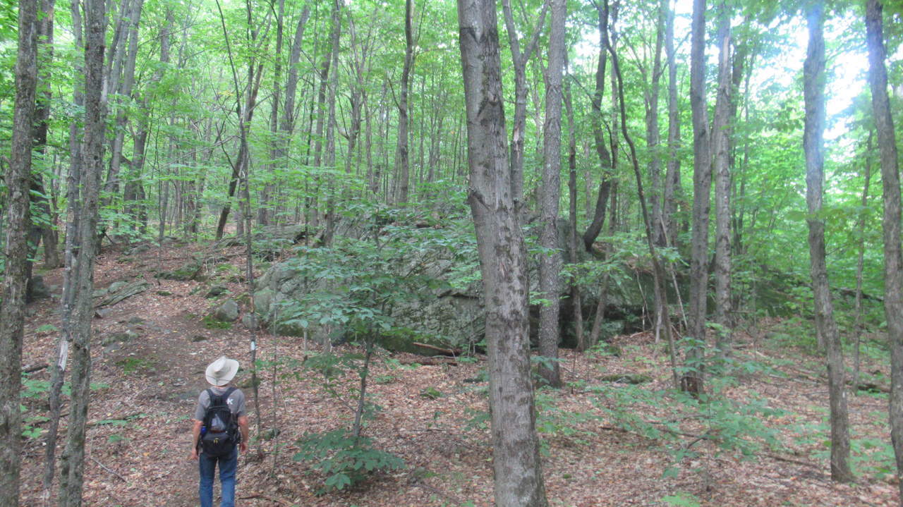
Large Rocky outcropping
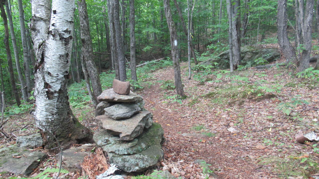
Cairn and trail blaze
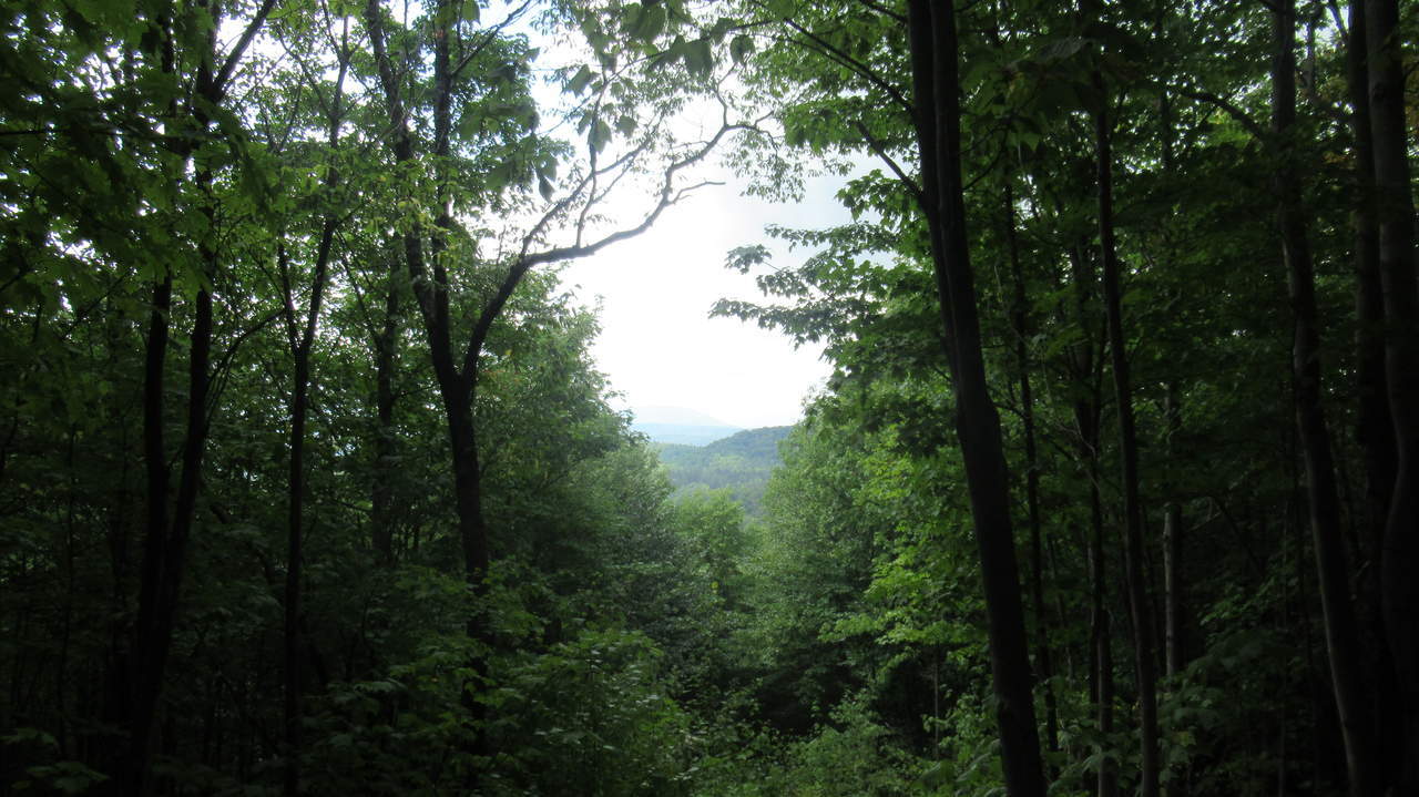
Beautiful Vista
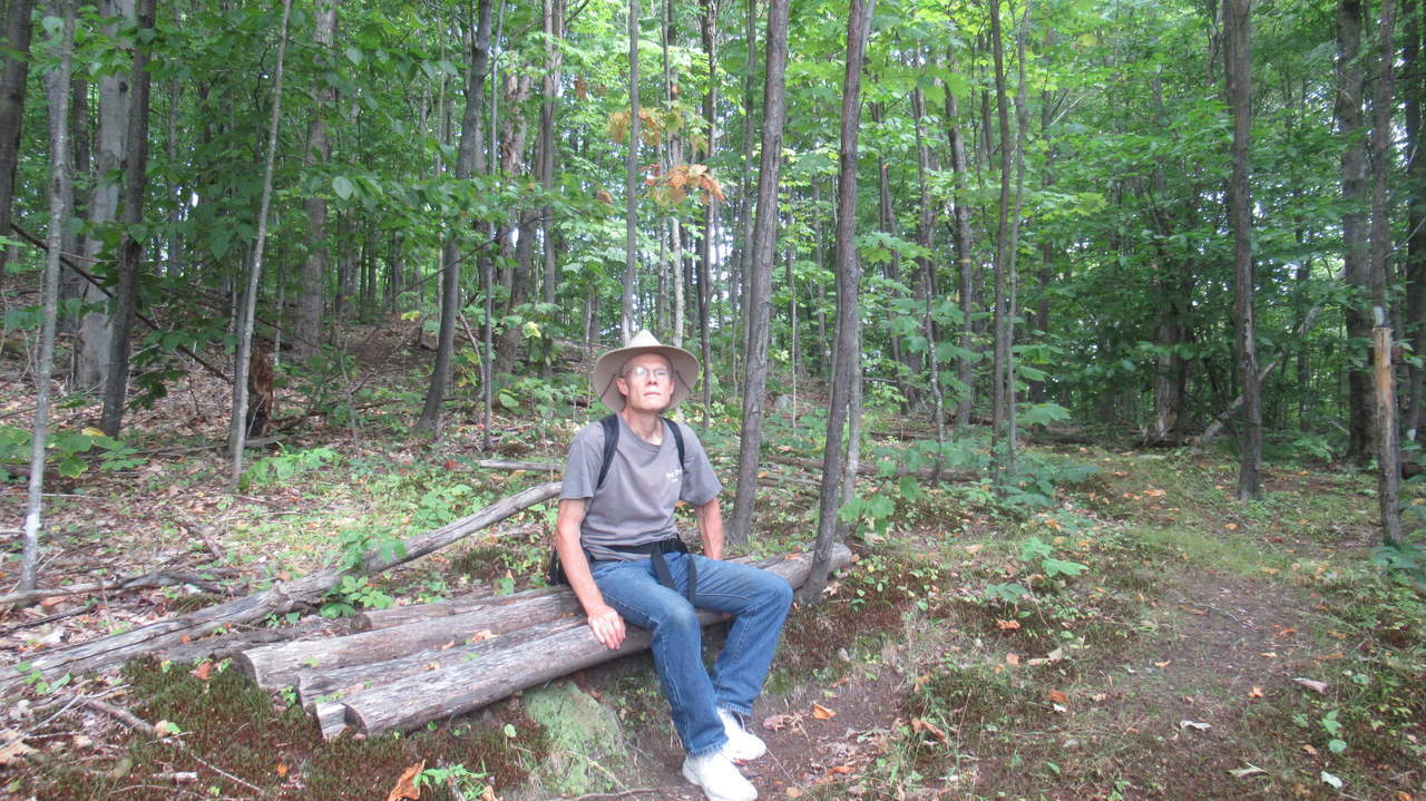
Thoughtfully placed bench for resting
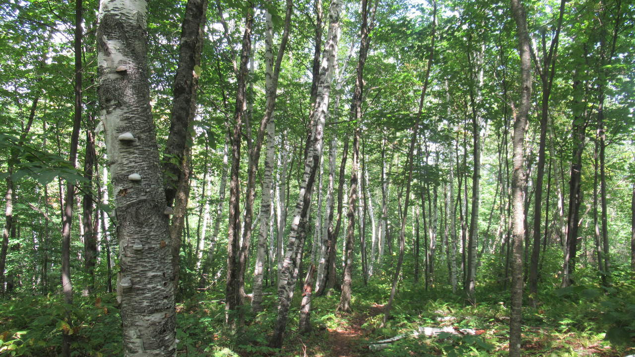
Young birch forest
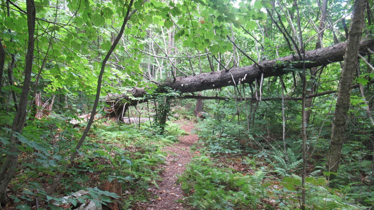
Watch your head when crossing under fallen trees
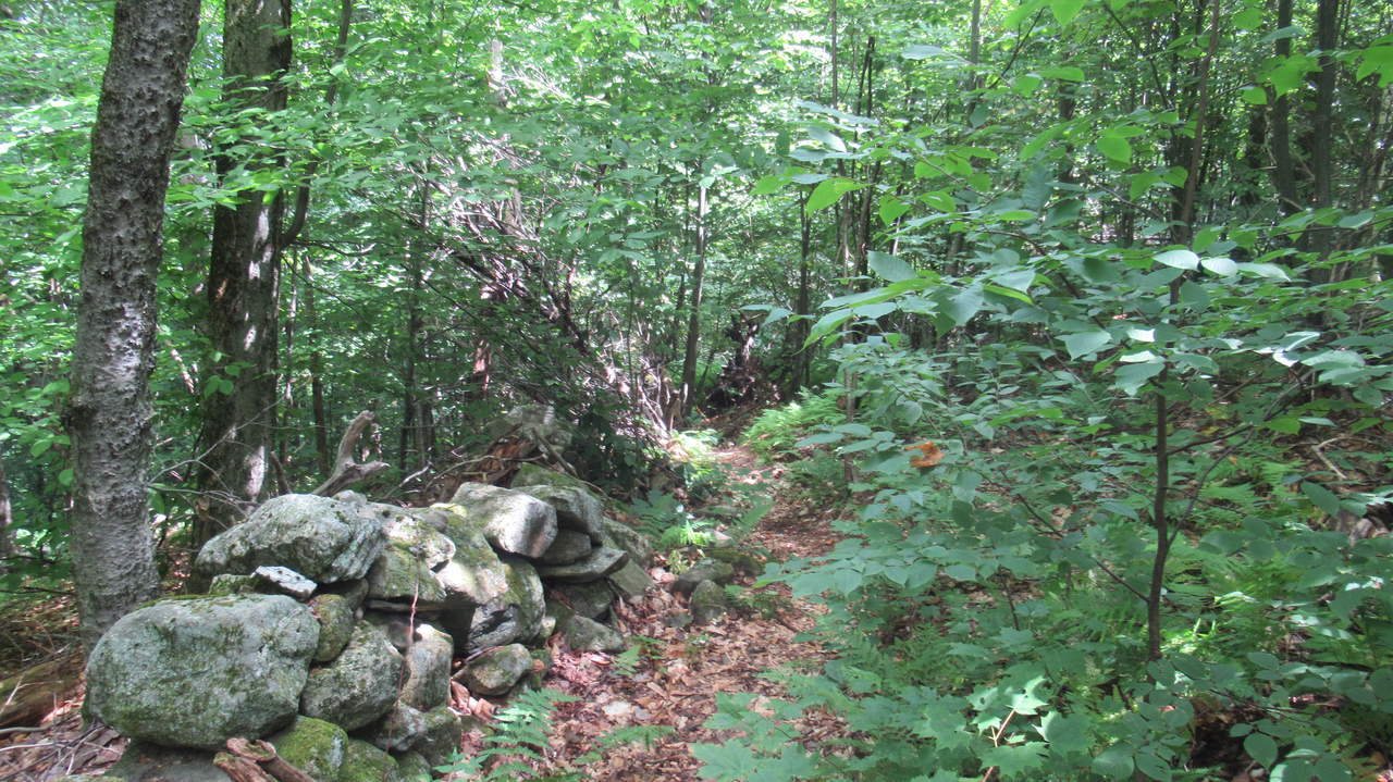
Trail along old rock wall
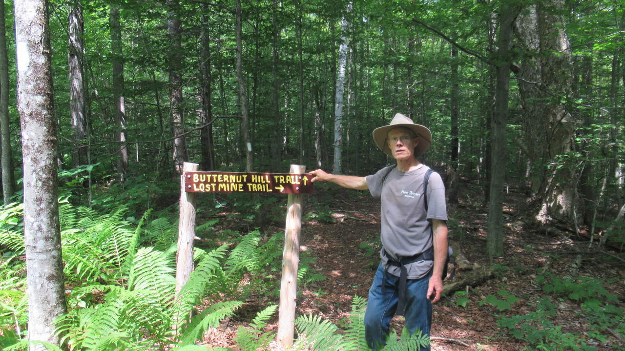
Sign at intersection of trail
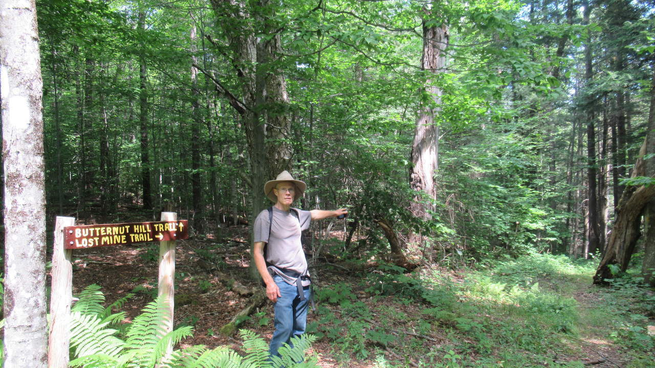
Lost Mine Trail continues to the left
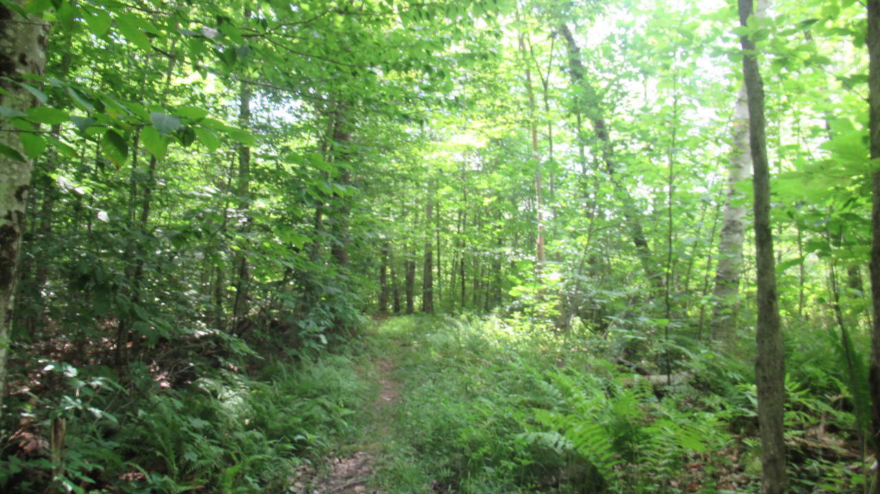
Trail substrate
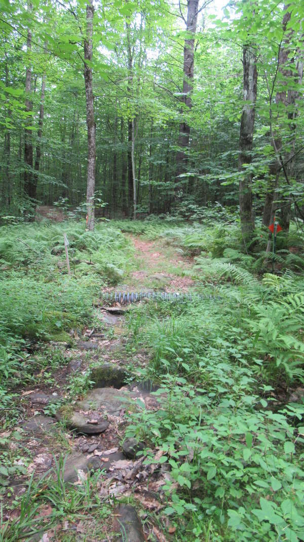
Watch your footing over wet areas
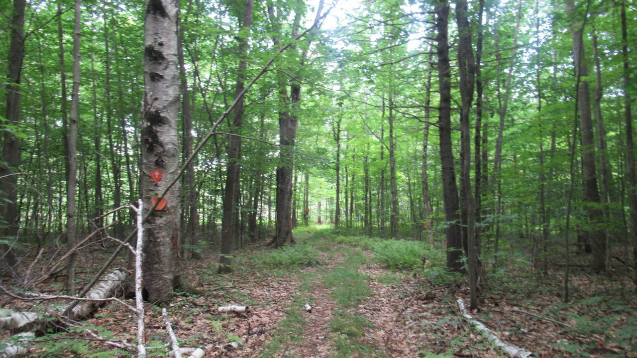
Trail substrate
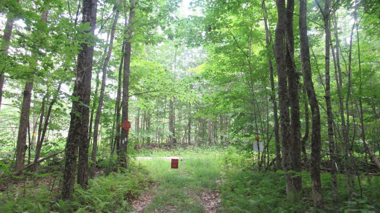
Snowmobile signage
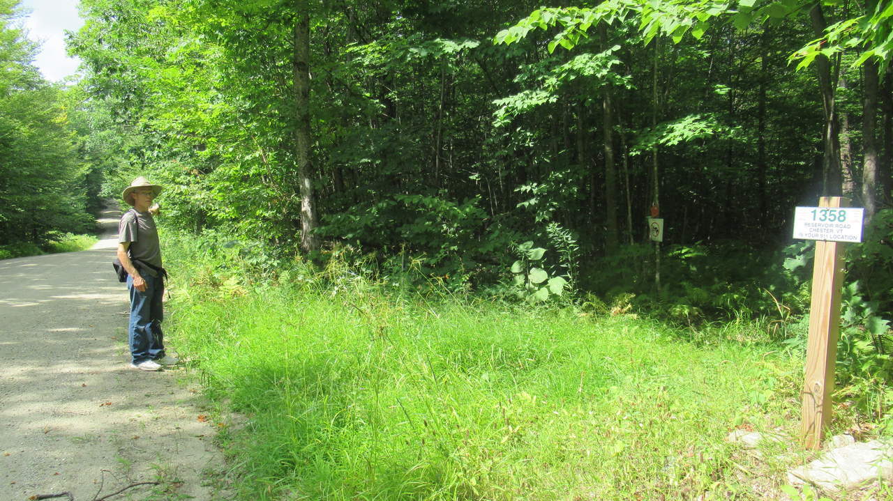
Butternut Hill Trail exits to Reservoir Rd at Road marker 1358 and heads up the road
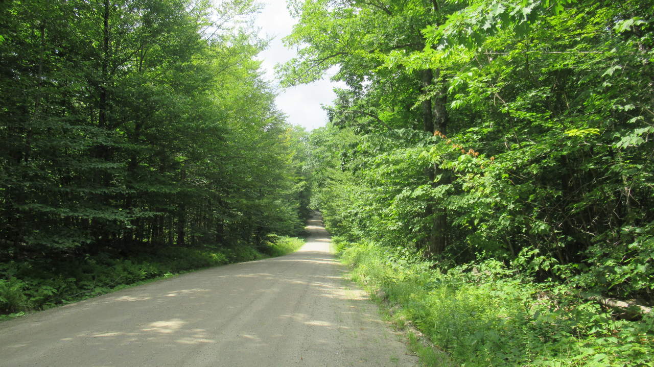
Look for white trail blaze markers on the right side of the road on trees
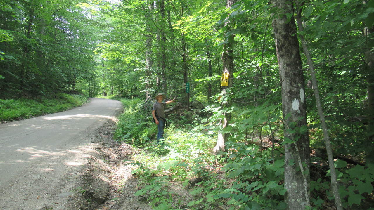
Butternut Hill Trail exits the road back to the woods
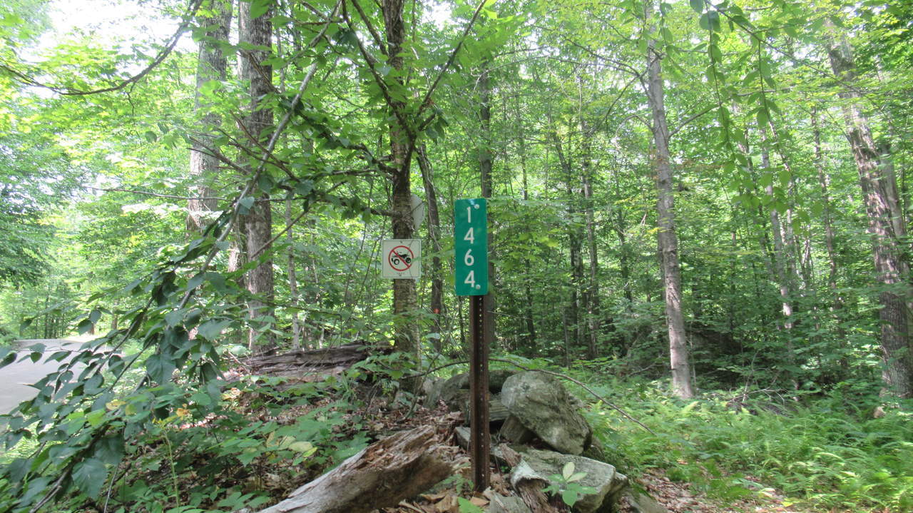
Re-enter the woods at road marker 1464
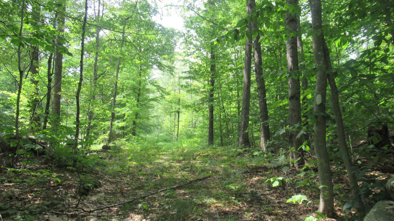
Trail substrate
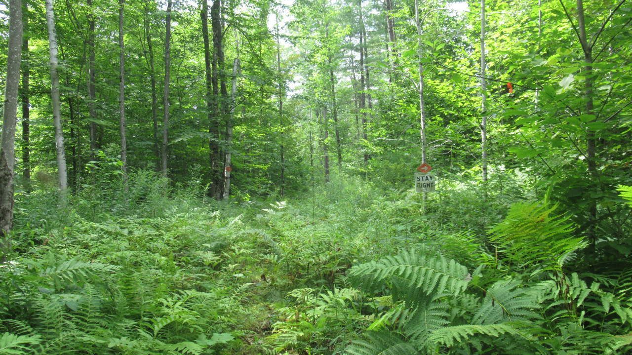
Trail vegetation thickens and Snowmobile trail veers to the right
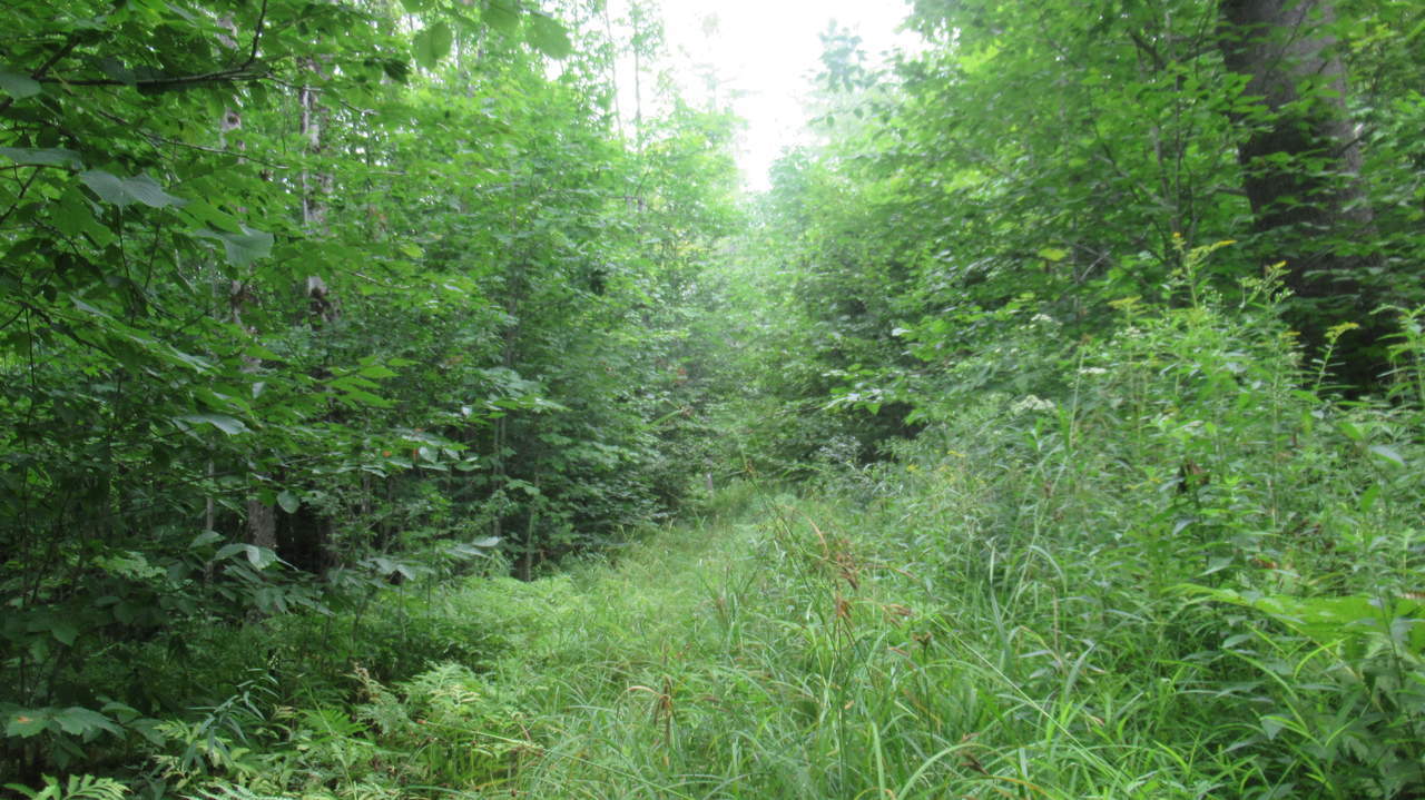
Trail substrate
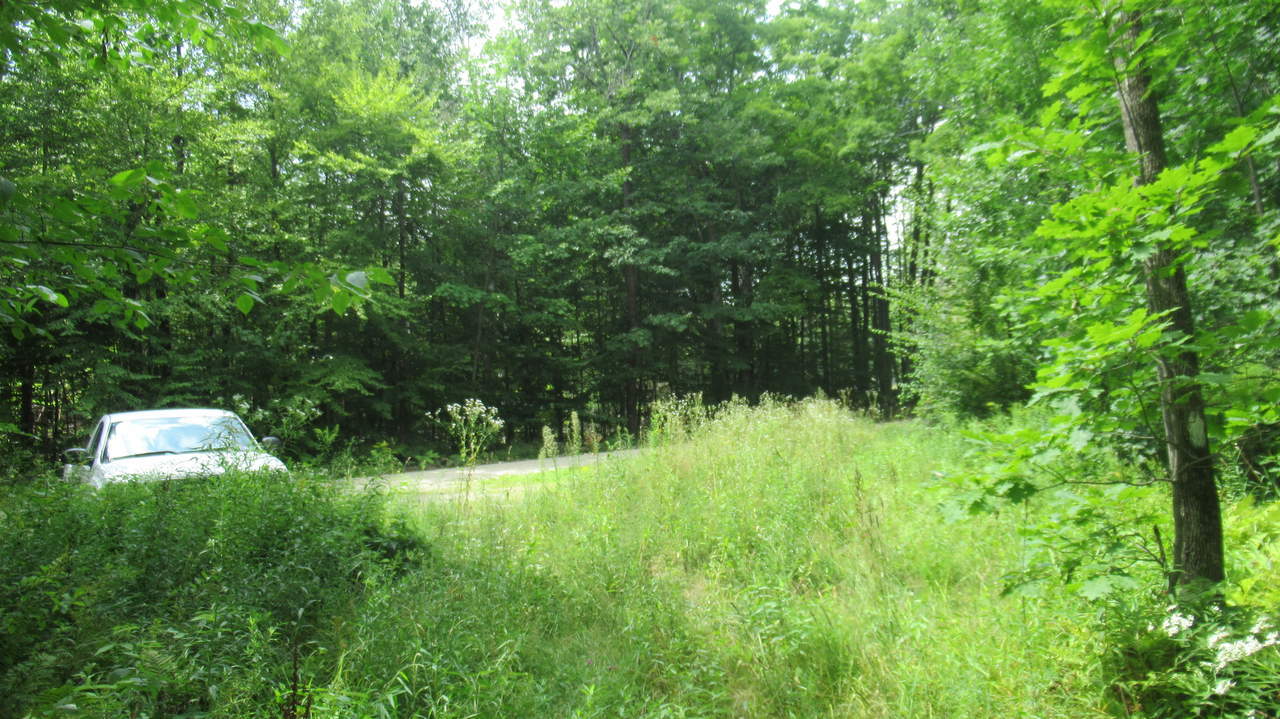
Butternut Hill Trail exits at parking area


Before you leave...
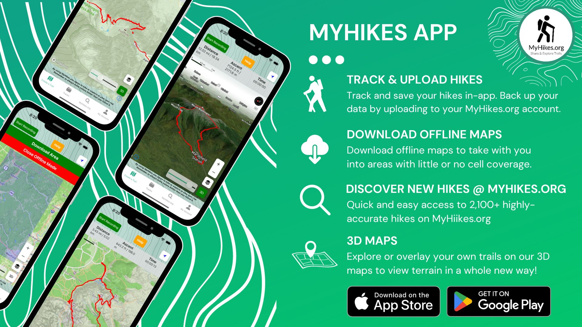
MyHikes is an indie web platform aimed to make exploring public trails easier for everyone. The site has no investors and is owned and operated by one person, Dave Miller (Founder & Admin). As the Founder, main contributor, and doer-of-all-things for MyHikes, I share my trips with over-detailed write-ups for fun on a volunteer basis and I believe that public trail information should be available to everyone.
It takes a lot of time 🕦, money 💰, and effort (including espresso shots ☕) to run MyHikes, including hiking , mapping , writing , and publishing new trails with high-quality content... along with building new features, moderating, site maintainance, and app development for iOS and Android . I simply ask that if you find MyHikes' trail guides helpful to please consider becoming a Supporter to help keep the site, iOS, and Android apps available to everyone.
Supporters unlock website and in-app perks with a one-time payment of $25 (you renew) 😎👍. Or you can simply make a Donation of your choice without a MyHikes user account. Otherwise, telling your friends about MyHikes is the next-best thing - both quick and free 🎉
Thanks for visiting MyHikes and have a great hike!️

Dave Miller
MyHikes Founder & Admin