The Briar Mountain Trail at Michaux State Forest in South Mountain, Pennsylvania is a moderate 1 mile out-and-back hike up to the top of Briar Mountain from Swift Run Rd. The trail initially climbs Briar Mountain to its ridge and then runs south until reaching the summit.
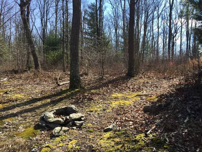
Once the trail levels out from the initial ascent, you'll find a campsite in the corner of the meadow adjacent to the trail. Continue onward and the trail comes to a fork of 3 different trails - follow the trail on your left and continue following this trail until you reach the summit. The summit does not have a trail that leads to it since there's nothing really at the summit, but this GPS data does lead you to it.
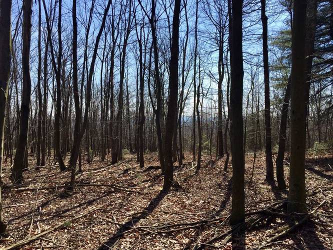
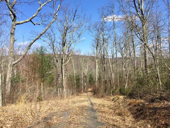
The downside to Briar Mountain is that there's no view or lookout point. During the colder months, you can see mountains in the distance through the trees, but that's about it.
Blazes: The trail does not have any blazes until you take the left-hand turn at the 3-way fork trail junction. Even then, the blazes are rare - sometimes found on the ground in the form of dead bark, or found as a blue ribbon on the trees.
Forest regrowth: Along the trail is a metal fence, about 8 feet tall, which exists to keep animals out of a certain part of the forest to allow the forest to regenerate. People are encouraged to go inside and there's a small metal gate visible from the trail. Hunters are also encouraged to go inside the contained space too, so it's best to wear orange if you go in there.
Once the trail levels out from the initial ascent, you'll find a campsite in the corner of the meadow adjacent to the trail. Continue onward and the trail comes to a fork of 3 different trails - follow the trail on your left and continue following this trail until you reach the summit. The summit does not have a trail that leads to it since there's nothing really at the summit, but this GPS data does lead you to it.
The downside to Briar Mountain is that there's no view or lookout point. During the colder months, you can see mountains in the distance through the trees, but that's about it.
Blazes: The trail does not have any blazes until you take the left-hand turn at the 3-way fork trail junction. Even then, the blazes are rare - sometimes found on the ground in the form of dead bark, or found as a blue ribbon on the trees.
Forest regrowth: Along the trail is a metal fence, about 8 feet tall, which exists to keep animals out of a certain part of the forest to allow the forest to regenerate. People are encouraged to go inside and there's a small metal gate visible from the trail. Hunters are also encouraged to go inside the contained space too, so it's best to wear orange if you go in there.