The Ancient Groves Trail at Olympic National Park near Port Angeles, Washington is an easy 0.6-mile loop hike that leads visitors through a forest full of ancient Douglas-fir and hemlock trees aging upwards of 750-years.
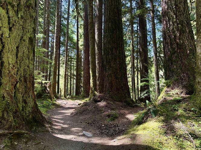
The trail starts by following a roadside path before it dips into the forest. Immediately, you'll find scenic Douglas-firs and hemlock trees lining the trail and dotting the mostly open forest landscape. Not long after entering the forest, the trail leads down to a wooden boardwalk or footbridge that spans, what appears to be, an often muddy area. Just on the other side of the boardwalk is a beautiful stand of several ancient Douglas-fir trees. Their age, to me is unknown, but these could be the ~750-year-old giants.
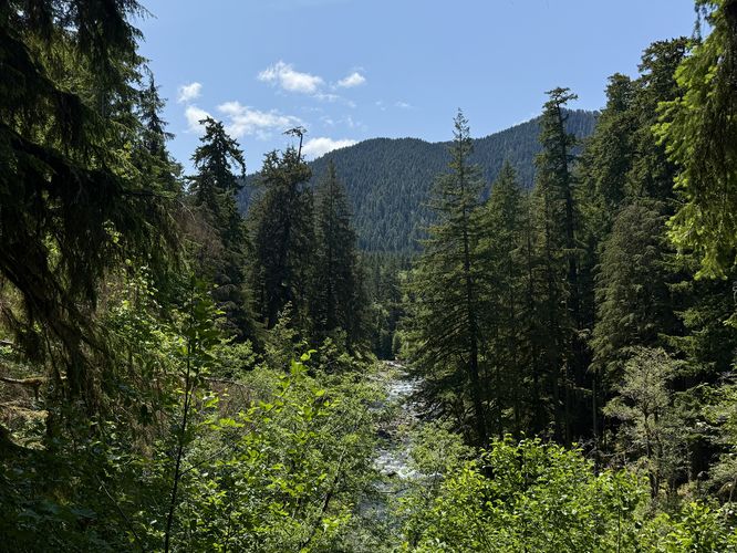
Further down the trail is where the loop begins and where this route follows the western side first. On the western side of the trail, you'll find a brighter and more exposed forest as it sits on the slopes of a very-steep plateau. The trail eventually cuts into the forest and immediately back out to reach obstructed views of the Sol Duc River and neighboring mountains.
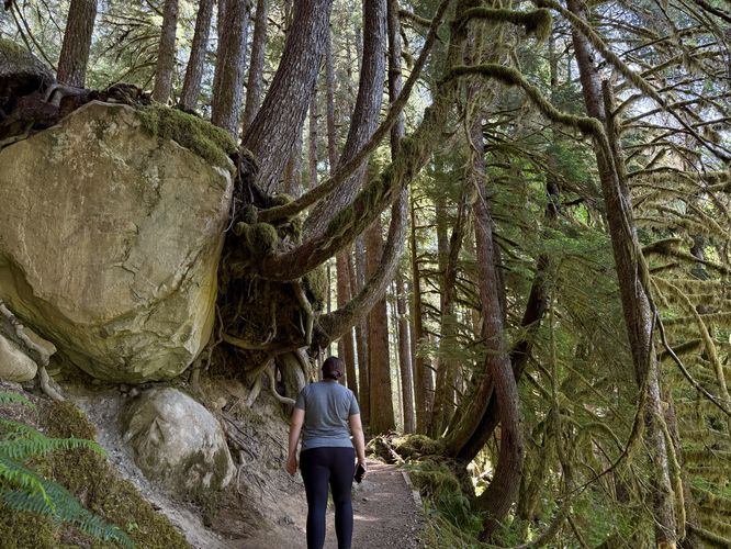
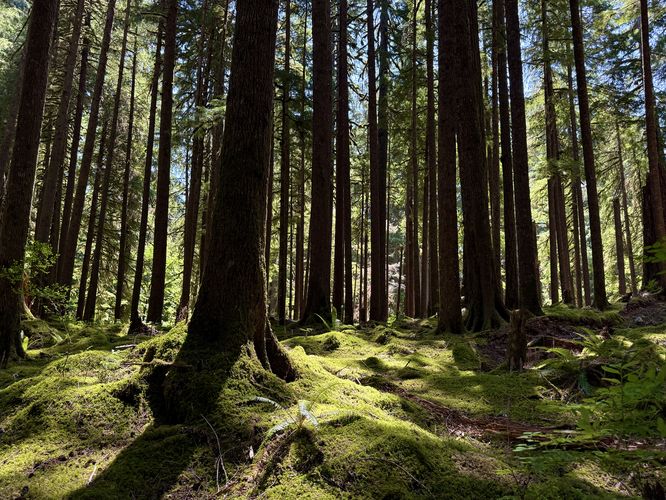
On the southern end of the trail, the forest becomes darker once more as the massive canopy of the ancient trees filters out the sunlight. Here, you'll find plenty of moss carpets that line the forest floor.
This route heads toward the road and back to complete the short spur to depict the southern trailhead location; however, near here as of June 2025 is a beautiful decaying stump with a small moss-covered hemlock sapling growing from it. This makes for a great photo-op.
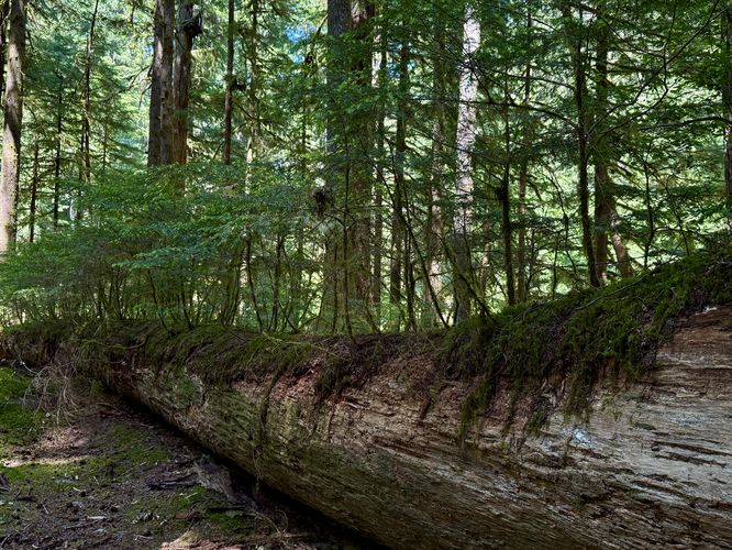
The last neat point-of-interest along the trail is near mile 0.38 where you'll find a nurselog with small hemlock saplings growing on the top of it. While the nurselog is full of saplings, you'll notice that on other trails with mature growth from nurselogs that only a few of the saplings will compete enough to win long-term.
The trail passes more carpets of vibrant green moss before reaching the loop fork in the north. From here, the hike back to parking is a short and easy jaunt across the boardwalk, passing some ancient Douglas-firs along the way.
Explore the Ancient Groves
You can choose to start this hike in one of two places, either the northern or southern trailhead. This guide follows the trail from the north, at the larger of the two parking turnouts, where you'll find historical information about the ancient trees along the route.The trail starts by following a roadside path before it dips into the forest. Immediately, you'll find scenic Douglas-firs and hemlock trees lining the trail and dotting the mostly open forest landscape. Not long after entering the forest, the trail leads down to a wooden boardwalk or footbridge that spans, what appears to be, an often muddy area. Just on the other side of the boardwalk is a beautiful stand of several ancient Douglas-fir trees. Their age, to me is unknown, but these could be the ~750-year-old giants.
Further down the trail is where the loop begins and where this route follows the western side first. On the western side of the trail, you'll find a brighter and more exposed forest as it sits on the slopes of a very-steep plateau. The trail eventually cuts into the forest and immediately back out to reach obstructed views of the Sol Duc River and neighboring mountains.
On the southern end of the trail, the forest becomes darker once more as the massive canopy of the ancient trees filters out the sunlight. Here, you'll find plenty of moss carpets that line the forest floor.
This route heads toward the road and back to complete the short spur to depict the southern trailhead location; however, near here as of June 2025 is a beautiful decaying stump with a small moss-covered hemlock sapling growing from it. This makes for a great photo-op.
The last neat point-of-interest along the trail is near mile 0.38 where you'll find a nurselog with small hemlock saplings growing on the top of it. While the nurselog is full of saplings, you'll notice that on other trails with mature growth from nurselogs that only a few of the saplings will compete enough to win long-term.
The trail passes more carpets of vibrant green moss before reaching the loop fork in the north. From here, the hike back to parking is a short and easy jaunt across the boardwalk, passing some ancient Douglas-firs along the way.