The DOC Trail to the Mt Tom Abandoned Ski Resort is an easy 1 mile one-way trail that starts along the M&M Trail along the Mt Tom Traverse and heads down the mountain along a service road to the old ski resort.
You can also start this trail at the abandoned ski resort and hike up to the Mt Tom Traverse and the M&M Trail; however, you need to hike in on Mt Park Rd to reach the ski resort first.
Heading downhill along the DOC Trail, you'll first hit a trail junction about 0.2 miles into the hike - take a left-hand turn here. Continue further and you'll hit another trail junction, stay right here.
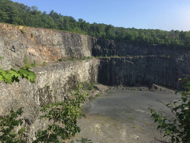
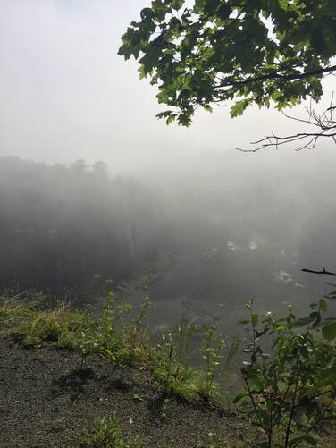
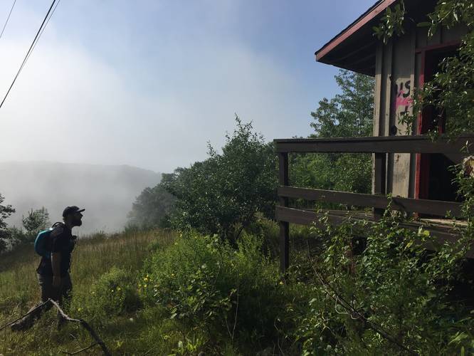
Shortly after the 2nd fork in the trail, you'll come to a service road. Cross this service road to reach an old ski lift with views of the old ski route and the surrounding hills. From here, continue down the service road and you'll find small spur trails with views of the Mt Tom Quarry below.
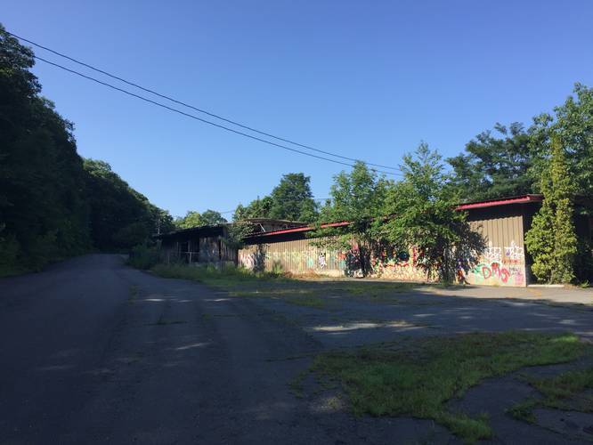
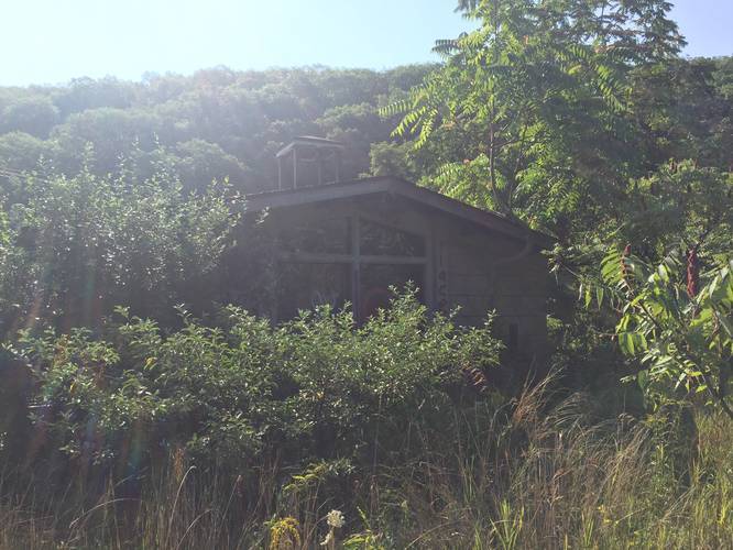
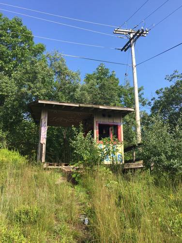
Eventually the trail will reach the old ski resort which is a small area of abandoned buildings that sit at the bottom of the old ski route. From here you can take a left-hand turn to hike over to the quarry.
Difficulty
If you're hiking this trail the opposite way and heading up the mountain, this is a moderate hike. Downhill is very easy.
Pets
Dogs are allowed if leashed and their waste must be carried out by the hiker.
Parking
Please note that the parking coordinates will bring hikers to the entrance to the southeastern section to the Mount Tom State Reservation. Depending on the time of year, this road can be closed up to a certain point to motorized vehicles. Hikers will find parking down this road, but how far is unpredictable - so plan on hiking down Mt Tom Ski Road until you reach the end of this trek to hike in the opposite direction.
You can also start this trail at the abandoned ski resort and hike up to the Mt Tom Traverse and the M&M Trail; however, you need to hike in on Mt Park Rd to reach the ski resort first.
Heading downhill along the DOC Trail, you'll first hit a trail junction about 0.2 miles into the hike - take a left-hand turn here. Continue further and you'll hit another trail junction, stay right here.
Shortly after the 2nd fork in the trail, you'll come to a service road. Cross this service road to reach an old ski lift with views of the old ski route and the surrounding hills. From here, continue down the service road and you'll find small spur trails with views of the Mt Tom Quarry below.
Eventually the trail will reach the old ski resort which is a small area of abandoned buildings that sit at the bottom of the old ski route. From here you can take a left-hand turn to hike over to the quarry.
Difficulty
If you're hiking this trail the opposite way and heading up the mountain, this is a moderate hike. Downhill is very easy.
Pets
Dogs are allowed if leashed and their waste must be carried out by the hiker.
Parking
Please note that the parking coordinates will bring hikers to the entrance to the southeastern section to the Mount Tom State Reservation. Depending on the time of year, this road can be closed up to a certain point to motorized vehicles. Hikers will find parking down this road, but how far is unpredictable - so plan on hiking down Mt Tom Ski Road until you reach the end of this trek to hike in the opposite direction.