Junction Hollow Trail
Distance:
0.6 Miles / 1.0 kmType:
One-WayDifficulty:
EasyTime to Hike:
~18 minutesFeatures:
Surface Type:
DirtLoading...
Loading...
The Junction Hollow Trail at Schenley Park in Pittsburgh, Pennsylvania is an easy 0.6-mile one-way hike that runs down the west side of the park.
This recording starts at the northern end of the trail next to Panther Hollow Lake and follows the trail all the way to the southern terminus where it ends. Please note that the main parking lot is located at the opposite end of where this trail recording starts where you can find the other trailhead.
At the southern terminus for the trail you'll also find the Zigzag Trail that runs up the nearest steep slopes of Schenely Park and leads to the Bridle Trail.
Parking: Parking can be found next to the Anderson Shelter - on the south side of the Panther Hollow Bridge. Or you can park at the main parking lot at the southern terminus at this trail (current parking marker).
Hazards
Season
Fall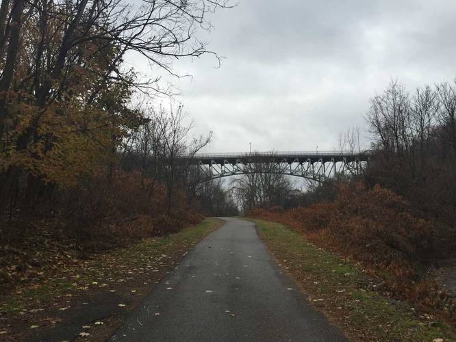
2 Trip Reports


Helpful Links
Find Hiking Trails Near Me:


")


Before you leave...
MyHikes is an indie web platform aimed to make exploring public trails easier for everyone. The site has no investors and is owned and operated by one person, Dave Miller (Founder & Admin). As the Founder, main contributor, and doer-of-all-things for MyHikes, I share my trips with over-detailed write-ups for fun on a volunteer basis and I believe that public trail information should be available to everyone.
It takes a lot of time 🕦, money 💰, and effort (including espresso shots ☕) to run MyHikes, including hiking , mapping , writing , and publishing new trails with high-quality content... along with building new features, moderating, site maintainance, and app development for iOS and Android . I simply ask that if you find MyHikes' trail guides helpful to please consider becoming a Supporter to help keep the site, iOS, and Android apps available to everyone.
Supporters unlock website and in-app perks with a one-time payment of $25 (you renew) 😎👍. Or you can simply make a Donation of your choice without a MyHikes user account. Otherwise, telling your friends about MyHikes is the next-best thing - both quick and free 🎉
Thanks for visiting MyHikes and have a great hike!️

Dave Miller
MyHikes Founder & Admin

