Dilworth Trail
Distance:
0.6 Miles / 1.0 kmType:
One-WayDifficulty:
ModerateTime to Hike:
~18 minutesFeatures:
Surface Type:
DirtLoading...
Loading...
The Dilworth Trail at Emerald View Park in Pittsburgh, Pennsylvania is a moderate 0.6 mile one-way trail that heads down the slopes of Mt Washington Park. The trail starts along the Emerald View Trail and connects back to it. There are various switchbacks on this trail, which make it a moderate hike.
On the flatter ground of the trail, you'll notice a decent amount of old debris, mostly tires. This land was used as a dump for a long time before being cleaned out in about 2006. Over 100,000 tires were removed from the project, but some can still be found. Most noteably, many trees have grown through the tires, leaving whole intact tires resting around the base of tree stumps that are over 20 years old.
Pets
Dogs are allowed only if leashed and must be cleaned up after.
Biking
Biking is permitted but likely a bit difficult on this trail.
-
Parking
40.424833, -80.01512 -
Main Trailhead
40.42538, -80.017469 -
Obstructed view of the neighborhoods downhill from the trail
40.425111, -80.018456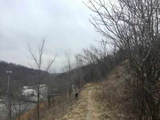
-
Trail junction
40.423356, -80.014031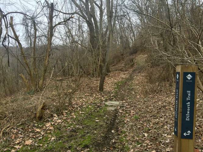
Hazards
Seasons
All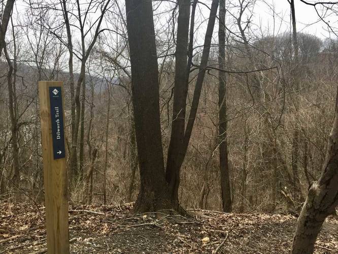
2 Trip Reports


Helpful Links
Find Hiking Trails Near Me:


")
Before you leave...
MyHikes is an indie web platform aimed to make exploring public trails easier for everyone. The site has no investors and is owned and operated by one person, Dave Miller (Founder & Admin). As the Founder, main contributor, and doer-of-all-things for MyHikes, I share my trips with over-detailed write-ups for fun on a volunteer basis and I believe that public trail information should be available to everyone.
It takes a lot of time 🕦, money 💰, and effort (including espresso shots ☕) to run MyHikes, including hiking , mapping , writing , and publishing new trails with high-quality content... along with building new features, moderating, site maintainance, and app development for iOS and Android . I simply ask that if you find MyHikes' trail guides helpful to please consider becoming a Supporter to help keep the site, iOS, and Android apps available to everyone.
Supporters unlock website and in-app perks with a one-time payment of $25 (you renew) 😎👍. Or you can simply make a Donation of your choice without a MyHikes user account. Otherwise, telling your friends about MyHikes is the next-best thing - both quick and free 🎉
Thanks for visiting MyHikes and have a great hike!️

Dave Miller
MyHikes Founder & Admin

