Big A Trail
Distance:
1.0 Mile / 1.6 kmType:
LoopDifficulty:
EasyTime to Hike:
~30 minutesFeatures:
Surface Type:
Universal AccessLoading...
Loading...
The Big A Trail at the Mt Agamenticus Conservation Region in York, ME, is an easy 1 mile loop hike atop Mt Agamenticus.
This trail leads from the parking lot and runs along the summit of the mountain with 360 degree views. The trail is a certified Universal Access trail, so anyone of all ages can enjoy the views from along the Big A Trail.
This is one of the best hiking trails in southern Maine with views of the Presidential Range in the White Mountains, York, Ogunquit, Wells, and Kennebuckport can all be seen from lookout points as well.
Pets
Dogs are allowed if leashed and their waste must be carried out by the hiker.
-
Parking
43.222883, -70.692648 -
Main Trailhead
43.222483, -70.693258 -
Vista point facing White Mountains north
43.223919, -70.692314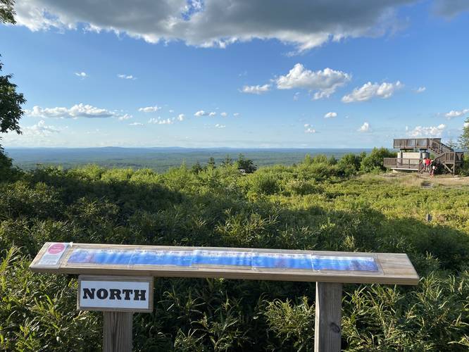
-
Vista point facing White Mountains northwest
43.224372, -70.692092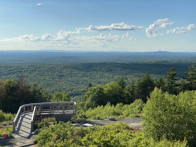
-
Vista point facing York, Maine east
43.223186, -70.692008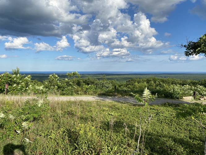
-
Vista point facing White Mountains north
43.224606, -70.692392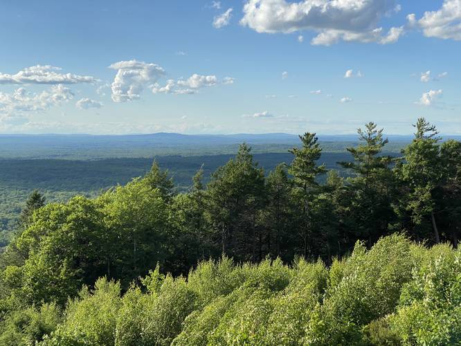
-
Big A Overlook
43.222428, -70.693856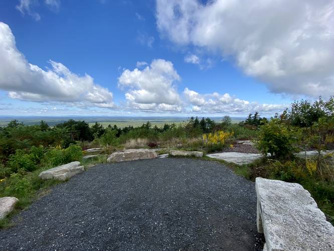
-
View Trail Map
Hiker: Admin (David Miller)Hiked on: July 12, 2020Distance: 0.7 miles / 1.1 km
Hazards
Seasons
All

6 Trip Reports


Helpful Links
Find Hiking Trails Near Me:


Before you leave...
MyHikes is an indie web platform aimed to make exploring public trails easier for everyone. The site has no investors and is owned and operated by one person, Dave Miller (Founder & Admin). As the Founder, main contributor, and doer-of-all-things for MyHikes, I share my trips with over-detailed write-ups for fun on a volunteer basis and I believe that public trail information should be available to everyone.
It takes a lot of time 🕦, money 💰, and effort (including espresso shots ☕) to run MyHikes, including hiking , mapping , writing , and publishing new trails with high-quality content... along with building new features, moderating, site maintainance, and app development for iOS and Android . I simply ask that if you find MyHikes' trail guides helpful to please consider becoming a Supporter to help keep the site, iOS, and Android apps available to everyone.
Supporters unlock website and in-app perks with a one-time payment of $25 (you renew) 😎👍. Or you can simply make a Donation of your choice without a MyHikes user account. Otherwise, telling your friends about MyHikes is the next-best thing - both quick and free 🎉
Thanks for visiting MyHikes and have a great hike!️

Dave Miller
MyHikes Founder & Admin

